
The Wagner Perspective Independence Rock - Natrona County, Wyoming Independence Rock was the most-noted landmark on the emigrant trails west of Fort Laramie. An oval outcrop of granite rock, it is 1,900 feet long, 700 feet wide, and rises 128 feet above the range. The rock derived its name from a party of fur trappers who camped there and celebrated Independence Day in their own style on July 4, 1830. Independence Rock became one of the great bulletin boards of the Oregon-California Trail-a place to look for word of friends ahead or leave messages for those coming behind. On July 26, 1849, J. Goldsborough Bruff "reached Independence Rock . . . at a distance looks like a huge whale. It is being painted & marked every way, all over, with names, dates, initials, &c - so that it was with difficulty I could find a place to inscribe it." Today, a highway rest area provides parking and interpretive wayside exhibits. The sure-footed can still climb to the top of the rock to inspect emigrant names that were placed there 150 years ago. Independence Rock State ParkP.O. Box 1596 Evansville, WY 82636 307-577-5150 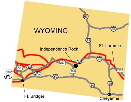
NPS Image |
Last updated: April 23, 2025