
The Wagner Perspective Devil's Gate - Natrona County, Wyoming Devil's Gate is a narrow cleft carved by the Sweetwater River through a ridge called the Sweetwater Rocks-370 feet deep, 1,500 feet long, and only 50 feet wide in places. Devil's Gate is among the more interesting geographical landmarks along the emigrant trails. This natural feature became visible approximately 15 miles to the east. The gorge was impassable to wagons, and the trail passed to the south of the ridge, but this dark, gloomy canyon intrigued the emigrants. Many camped here, and almost all took the detour to inspect the gorge. Osborne Cross recorded his delight on July 10, 1949. "This gap is truly wonderful, being a space not over twenty yards wide and about five hundred feet high, having very much the appearance of being chiseled out by the hand of man rather then the work of nature." More than 20 graves are thought to be located in the immediate vicinity, although only one is marked, and many emigrant inscriptions can still be found on the rock walls of the gorge.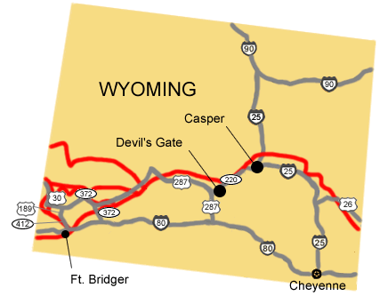
NPS Image |
Last updated: April 23, 2025