William Clark was off by a mere 40 miles in his calculation of how far they had traveled from Camp River Dubois to the Pacific Ocean.
Article
William Clark: A Master Cartographer

Library of Congress, Geography and Maps Division
It would be up to Captain William Clark to map the territory as they made their way west. It is hard to imagine today what it would be like to venture out without access to our smartphone navigation system or a road atlas. How often would you get lost? Would you be able to create your own map?
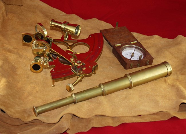
- Surveyor's compass
- Hand compass
- 1 Hadley's quadrant
- 1 Telescope
- 3 Thermometers
- 2 Sextants
- 1 Set of plotting instruments
- 1 Chronometer
- 1 Portable microscope
- 1 Tape measure

NPS Photo/R. Kephart
The daily practice of making celestial observations and complicated mathematical calculations to measure the angle of the sun from the horizon was tedious and required skill, which both Lewis and Clark learned to do. Eventually Clark took this on as his primary role. He also became a master at dead reckoning, the process of estimating your position by using your last known point then using your rate of speed and how long you have traveled to calculate distance.
Clark usually made his calculations from the boat, since the Expedition was constantly on the move. But he would also employ other tools such as the surveyor’s chains when on land.
Every few days, Clark would take the notes from all of his observations and measurements and compare them to Lewis’ notes to draw maps of the river and landmarks to scale. The accuracy of his maps is widely admired, he was off by a mere 40 miles in his calculation of how far they had traveled from Camp River Dubois to the Pacific Ocean.

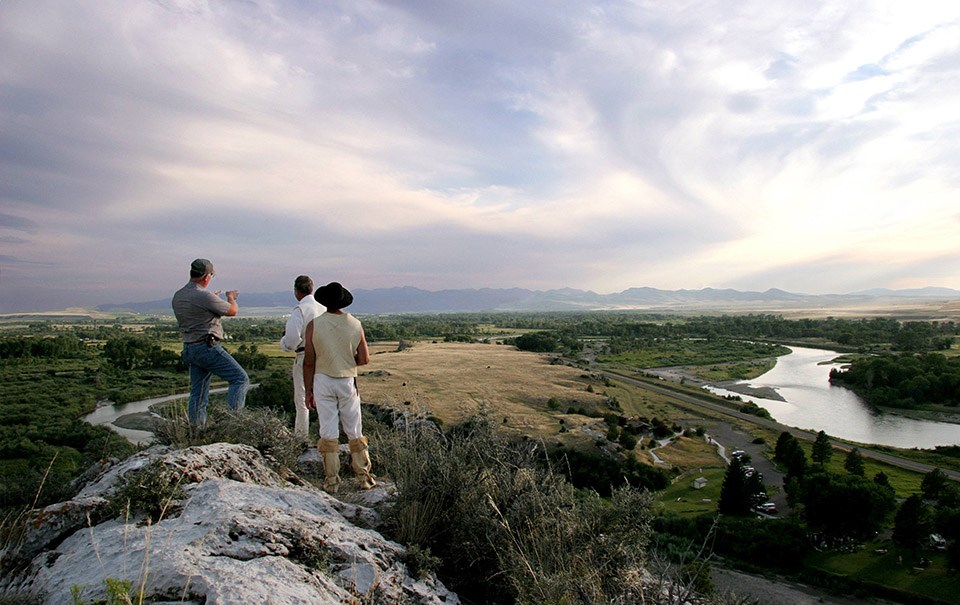
NPS Photo
Discover more:
- Lewis and Clark National Historic Trail Maps
- Jefferson's Instructions to Meriwether Lewis (from Monticello)
- Lewis and Clark in Montana — a geologic perspective (from the Montana Bureau of Mines and Geology)
Last updated: September 28, 2023
