NPS / Yasunori Matsui
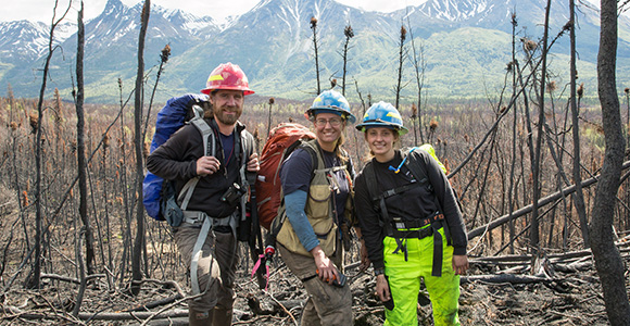
During the dry summer of 2013, lightning ignited the Currant Creek fire 15 miles northeast of Port Alsworth in Lake Clark National Park and Preserve. One year later, National Park Service Alaska regional wildland fire ecologists and crew visited the 1,900-acre burned area to determine the fire effects on vegetation and soils.
The crew hiked to 40 different sites within the burned area, monitored the fire effects, and assessed burn severity. Why? Burn severity influences vegetation patterns, succession, carbon emissions, and many other ecological factors after a fire, and the crew wanted to understand how it shaped this area of the park.
At each site, ecologists measured the soil temperature and the depth of organic soils. How deep the fire burns into the organic soil influences what plants may come back after a fire. The crew also took photos along vegetation transects.
What did they discover? They observed a mosaic pattern of burned and unburned islands of vegetation and soils. Moderate- to high-severity fire killed the black spruce trees but did not burn deeply into the organic soils. Willows resprouted in those areas, along with a few deep-rooted horsetails and grasses. Roses, horsetail, and grasses returned in an area that experienced moderate-severity fire in a white spruce stand. The crew found a patchy low-severity burn in a lowland black spruce forest. Umbrella liverworts and seedling fireweed blanketed areas where the fire burned deep into the organic soils. A light-severity fire scorched patches of willow and spruce, and the crew found unburned areas of white spruce forests within the burn area.
Using satellite images, staff created a burn severity map that shows unburned or lightly burned areas through heavily burned areas. The 40 sites visited were then compared to the burn severity satellite map.
The burn severity map coupled with the entire Lake Clark Currant Creek fire ecology study can be viewed through an interactive map tour. Take the tour to see the crew’s findings and you will learn that Alaskan plant and animal diversity in part results from fire occurrence on the landscape. What at first may look like devastation soon blooms into a panorama of life.
Contact: Jennifer Barnes, Alaska National Park Service regional fire ecologist
Email: jennifer_barnes@nps.gov
Phone: (907) 455-0652
Last updated: October 23, 2021
