Last updated: September 20, 2019
Article
Wendover Ridge Hike

Photo: Creative Commons, 2.0.
Much of the 7.7-mile (one way) hike is enjoyable through forests with beautiful river views. But keep in mind the grade is relentless with a 3,000-foot elevation gain between the river and the ridge. Those who have climbed to the top know that relentless quickly becomes ridiculous in the final mile. One word usually comes to mind: steep!
Captain Clark noted this risky, difficult section in his September 15, 1805 entry: “…Several horses Sliped and roled down Steep hills which hurt them verry much The one which Carried my desk & Small trunk Turned over & roled down a mountain for 40 yards & lodged against a tree, broke the Desk.”
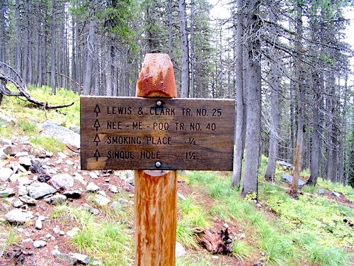
The trail, also known as Lewis and Clark Trail No. 25, is typically open from early June through the end of October, depending on seasonal conditions. You’ll find the trailhead at mile marker 158 on U.S. Highway 12, west of Lolo, Montana.
