Last updated: February 2, 2021
Article
Water Quality & Hydrology Of Hoover Creek

NPS Photo

NPS Photo by John Tobiason
A Disturbed Watershed
Hoover Creek drains about 1,700 acres of agricultural, rural residential, and urban land. It also drains the hard surfaces within the National Historic Site. Settlers and immigrants in the 1800s who removed trees from creeks and swamps and started farming the prairie altered the local hydrology from a ground water based system to a surface water system. Continued development of the watershed upstream affects both drainage and water quality.
Water Quality
Concerns about water quality in Hoover Creek center around siltation from soil erosion, and levels of nitrate and coliform bacteria. Coliform bacteria levels rise above safe levels as the stream enters the park, but fall to much lower levels by the time the stream leaves the park. The Iowa Department of Natural Resources (IDNR) listed the creek as an impaired stream under Section 303(d) of the Clean Water Act.
Hydrology
Today's creek flows faster and cuts straighter and deeper than the bucolic stream of the past. Instead of seeping slowly underground through the native prairie soil, rain and runoff from farms and pavement run right into the creek channel and carves an ugly scar into the landscape. Periods of intense rainfall cause flash floods that threaten to undermine and inundate the Herbert Hoover Birthplace Cottage, the Presidential Library and Museum, and other important or irreplaceable buildings.
Agricultural land in the watershed is tiled (drained with underground pipes) and development has pressed close to the creek banks during the last century. This encourages the creek to flash flood in the park during peak flows. Further development on the west side of the city may result in more frequent flood occurrences than when the land was in agricultural use.
Flooding
Over time, farmers plowed the rain-absorbing prairie into cultivated fields, and as urban pavement increased rainfall runoff, the creek suffered from too little water in dry seasons and too much water in wet seasons. In 1993, floodwaters nearly reached the foundation of the nearby Friends Meetinghouse where the Hoovers once worshipped.
Erosion
National Park Service studies reveal that floods have cut a channel in the streambed. Big storms bring floodwaters that carve soil from the stream banks. This erosion threatens the park's historic structures, artifacts, and documents. The National Park Service is looking for ways to control erosion and prevent the loss of vegetation that supports native wildlife and anchors this protective green space.
Data & Reports
The Iowa Department of Natural Resources (DNR) reported on trends of water quality in Hoover Creek in 2007. See Monitoring Water Quality on Hoover Creek as it Flows Into Herbert Hoover National Historic Site, West Branch, Iowa. K.L. Foreman. Iowa Department of Natural Resources (IDNR), Water Monitoring Section. January 2007.
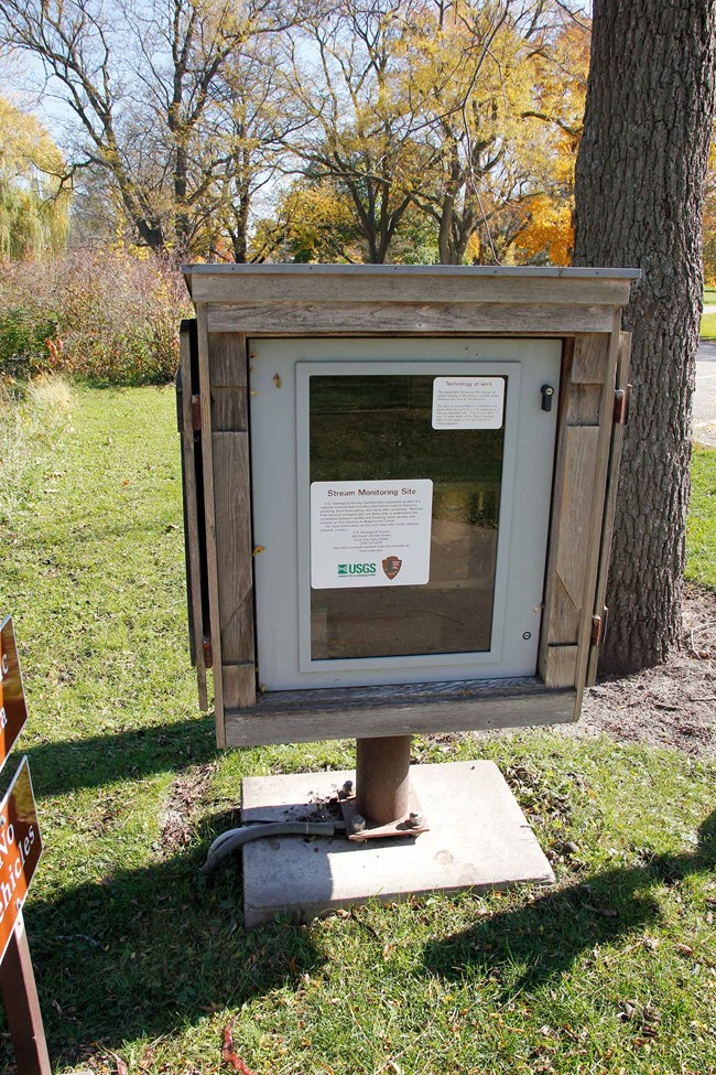
The U.S. Geological Survey (USGS) monitors nitrates and turbidity in the creek. USGS supports a real-time data stage gage in Herbert Hoover National Historical Site. It provides data on current and historical stream conditions (discharge, temperature, and rainfall) for Hoover Creek. USGS prepared a flood map and frequency report in 2004. See Herbert Hoover Flood Inundation Mapping and Flood Frequency. Christianson, Daniel. 2004. US Geological Survey. Unpublished Report.
