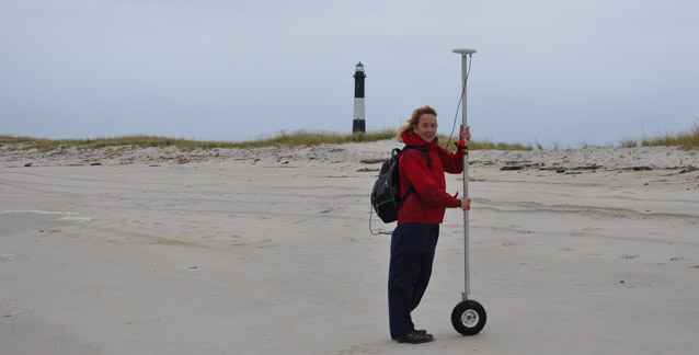
Dr. Cheryl Hapke, a coastal geologist from the United States Geological Survey, has studied the shorelines of Fire Island for nearly two decades. Dr. Hapke’s work helps the National Park Service understand how the shape and position of barrier islands and barrier island features change over time.

Dr. Hapke led a comprehensive field effort to map changes and collect baseline geologic data from the Fire Island coastline. Two days prior to Hurricane Sandy's landfall, Dr. Hapke and her team conducted field surveys of the beaches and dunes at Fire Island to provide a baseline for measuring morphologic changes caused by the storm.
After the storm passed, the beaches and dunes were re-surveyed by Dr. Hapke and her team. Continued collection of beach profile surveys will help enhance our understanding of how beaches and dunes recover after a storm.
Since Hurricane Sandy, Dr. Hapke has also conducted physical surveys of the wilderness breach, a channel connecting ocean to bay that formed during the storm. This work has shown the breach to be dynamic but relatively stable, with seasonal patterns that involve the formation and subsequent loss of a shoreline spit and re-alignments of the main channel.
Dr. Hapke's long-term studies of Fire Island help park managers better understand how the barrier island responds naturally to powerful storms like Hurricane Sandy.
Last updated: May 2, 2018
