The Plains of the Southwest include the southern Great Plains, the High Plains, Llano Estacado (Staked Plains), and Edwards Plateau.
The High Plains comprise the southwestern portion of the Great Plains, and include eastern Colorado, western Kansas, western Nebraska, portions of Montana, eastern New Mexico, western Oklahoma, northwestern Texas, and southeastern Wyoming. In eastern New Mexico, and the western panhandles of Texas and Oklahoma, the High Plains grade into the Llano Estacado, which, in turn, grades into Edwards Plateau.

NPS
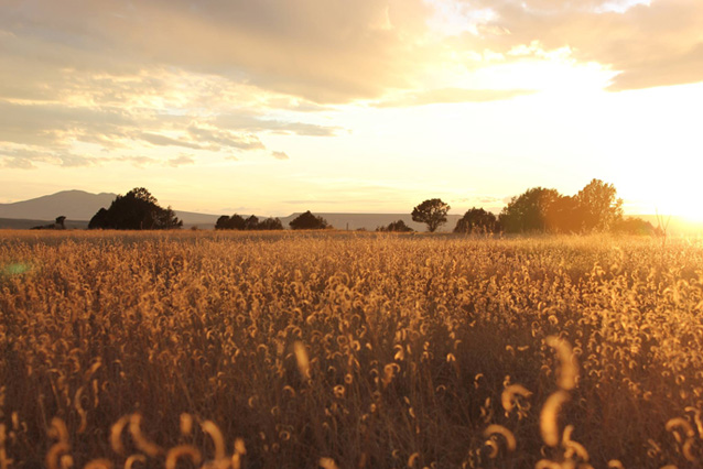
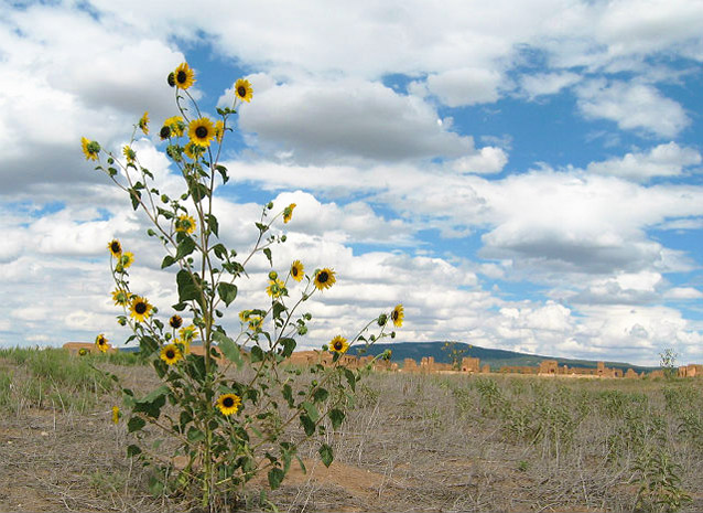
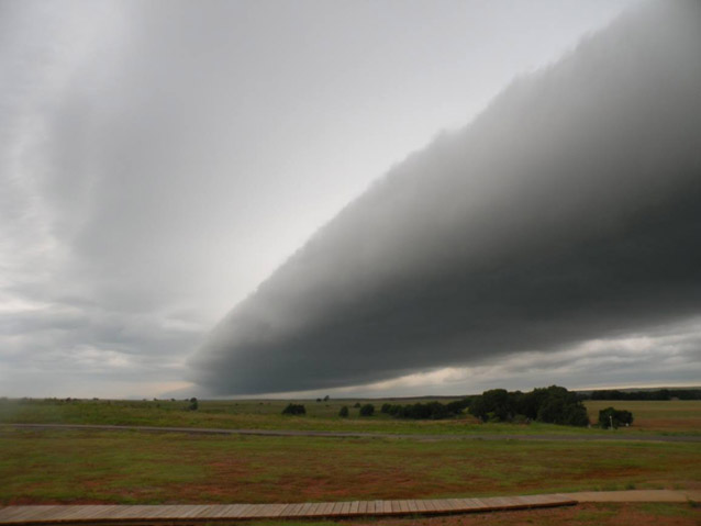
Although highly variable in elevation, temperature, and precipitation, the southwestern plains are typically semiarid grasslands ranging from shortgrass prairie to savanna and deciduous woodlands.

NPS
Area: The total area of the Great Plains is approximately 2,900,000 sq km (1,125,000 sq mi), with the High Plains forming only a fraction of the total. The Llano Estacado comprises roughly 97,000 sq km (37,500 sq mi), and Edwards Plateau covers approximately 96,770 sq km (37,370 sq mi).
Precipitation: Average precipitation on the High Plains is 25-50 cm (10-20 in) per year. However, regional precipitation is highly variable, with the eastern Llano Estacado average at 58 cm (23 in) per year, and northwest Edwards Plateau receiving as little as 38 cm (15 in) in a year.

NPS
Temperature: Temperatures on the southern Plains are just as variable as precipitation and vegetation. Summer temperatures above 85 degrees F are not uncommon, nor is snow in the winter.
Elevation: The elevation of the southwestern Plains ranges from 750 meters (2,500 ft) to higher than 1,800 meters (6,000 ft). Large portions, however, are relatively flat, with little range in elevation. For example, the Llano Estacado ranges between 900 meters (3,000 ft) and 1,525 meters (5,000 ft).
Life Zones: Upper Sonoran
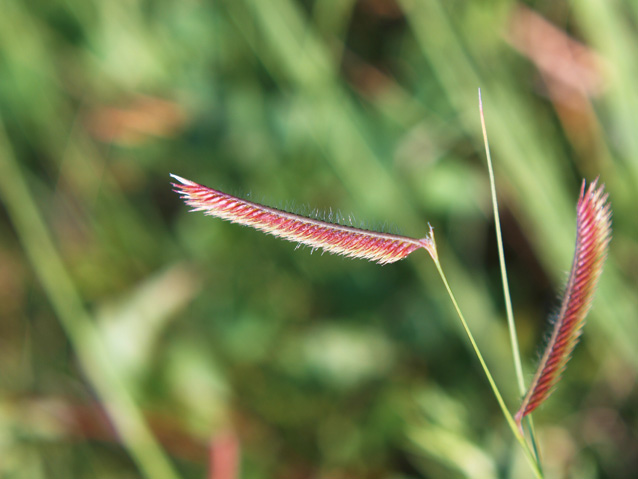
Vegetation: Shortgrass prairie comprised of grama and buffalo grasses dominate the southwestern plains, but shinnery (midgrass prairie with low shrubs) and grassy savannahs with mesquite, juniper and oak stands are also common.

NPS
Geology: The southwestern plains are nearly homogenous in their sedimentary composition. For example, Edwards Plateau lies entirely on limestone bedrock and was a source of high-quality chert important in the manufacture of stone tools.
Prehistoric Cultures: Paleoamericans, Ancestral Puebloan, Plains tribes.
National Parks and Monuments: Pecos, Fort Union, Capulin Volcano, Bent’s Old Fort, Sand Creek Massacre, Fort Larned, Lake Meredith, Alibates Flint Quarry, Washita Battlefield, Chicksaw, and Lyndon B. Johnson.
Part of a series of articles titled Defining the Southwest.
Previous: Southern Basin and Range
Tags
- alibates flint quarries national monument
- bent's old fort national historic site
- capulin volcano national monument
- chickasaw national recreation area
- fort larned national historic site
- fort union national monument
- lake meredith national recreation area
- lyndon b johnson national historical park
- sand creek massacre national historic site
- washita battlefield national historic site
- swscience
- american southwest
- southern plains
- southwest definitions
- grasslands
- ancestral puebloan
Last updated: September 18, 2015
