Last updated: September 4, 2018
Article
Soulard map: a pre-expeditionary planning tool for Lewis and Clark

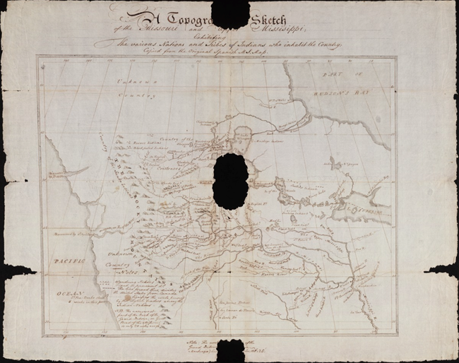
Photo: Beinecke Library/Yale University
Created in 1795, the Soulard map was an important pre-expeditionary planning tool for Lewis and Clark, but it had a short use life for the captains despite its representation of the entirety of the Great Plains.
The reason? Soulard’s map was based on information shared by others in the St. Louis area – it wasn’t a first-hand, eyewitness map, like the ones drawn by John Thomas Evans and Nicolas de Finiels. Their maps were the results of personal explorations sponsored by the Spanish merchants in St. Louis, and provided accurate drawings of the lands Spain claimed along the Missouri, before the Louisiana Purchase.
There were several versions of Soulard’s map. The “Spanish Original,” believed to have been drawn personally by Soulard, was believed lost. However it was found in a large collection of 18th century Spanish manuscripts in the 1980s. The “English Copy” was found among William Clark’s expeditionary papers. It’s now at the Beinecke Library at Yale University.
