In 2004, the National Park Service Water Resources Division evaluated soil, wetland, and riparian habitat conditions in Sand Creek Massacre National Historic Site (NHS).
A team of hydrologists and wetland scientists conducted a preliminary assessment of the site’s hydrologic and geomorphic conditions (surface features). The team identified opportunities to restore the hydrology of the floodplain, or low area adjacent to the Big Sandy Creek subject to flooding, to pre-disturbance conditions. The soils, hydrology, and wildlife habitat of the site were determined to be extremely sensitive to human traffic and other alterations.
Conditions and Discussion
NPS
Soils
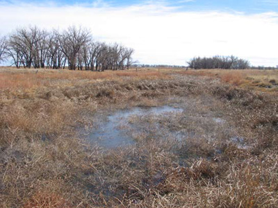
Soils in Sand Creek Massacre NHS consist primarily of sandy loams which are extremely dry and fragile throughout the year. Approximately 5-inches of loamy surface layer cover 60 inches of sand. The soils have extremely rapid permeability and are highly susceptible to wind erosion. Native grass cover is quickly destroyed by human or grazing animal trampling, overgrazing, and plowing which exposes sand below the surface layer to wind erosion. Exposed sand dunes, or blowouts, occur frequently in the site. In 2004, most site access roads consisted of unpaved and compacted soils prone to wind and water erosion and are in sandy loam areas.
NPS
Hydrologic and Geomorphic Conditions
Big Sandy Creek, an intermittent stream, originates northwest of the Sand Creek Massacre site and extends approximately 100 miles southeast to the Arkansas River in southeastern Colorado. The Big Sandy Creek watershed drains more than 3,000 square miles. However, it is unlikely it produces regular extreme flood conditions or floods because of permeable soils and slope of the drainage. The bed and banks of Big Sandy Creek are not well developed which suggests substantial flood events capable of forming channels are rare, though historic data indicates they have occurred. When flooding does occur, effects are exacerbated by undersized culverts and bridges which can reduce flow and introduce road material into riparian wetlands.
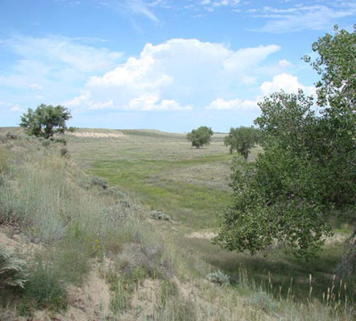
The hydrologic and geomorphic conditions of the Big Sandy Creek watershed limit the magnitude of floods that may be caused by extreme rain events. Annual peak flow is typically less than 500 cubic feet per second (cfs). The channel lies in a broad, gently sloping floodplain bounded by 5-10 foot terraces in some places. Sandy, porous soils reduce the amount of precipitation and overland flow that reach the stream channel. Tributaries north of the Arkansas River, including Big Sandy Creek, have large valley flood storage capacities and high infiltration rates in the surrounding soil. These surface features,likely formed under wetter prehistoric conditions associated with glacial cycles, are not indicative of the area’s current hydrologic regime.
David Zettner
The Chivington-Brandon Irrigation Canal, a ditch and levee, is located in southeastern Sand Creek Massacre NHS along the eastern edge of the floodplain. The canal diverts the natural surface drainage from several small tributaries and adjacent hills into a concentrated outflow. Old stream channels in the floodplain are still visible and it is possible natural flows could be restored. The canal extends about a mile through the park and remnants continue approximately 20 miles. After nearly a century of neglect, there are many “head cuts” or areas in the channel bottom that are eroding at significantly higher rates than a stable stream channel. Without stabilization, head cuts will continue to erode and cause sediment to be carried downstream.
Impacts of groundwater development on wetland and riparian ecosystems were also considered. Effects from pumping water from the alluvial aquifer for the park’s domestic water supply was determined to be negligible because the well would not be located very close to Big Sandy Creek, the small amount of water would be pumped, and most of the water would be returned to the local aquifer. Relatively high salinity levels, documented in the site’s groundwater, are typical for the region due to the presence of gypsum (CaSO4) in the bedrock.
Wetland and Riparian Areas
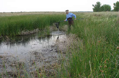
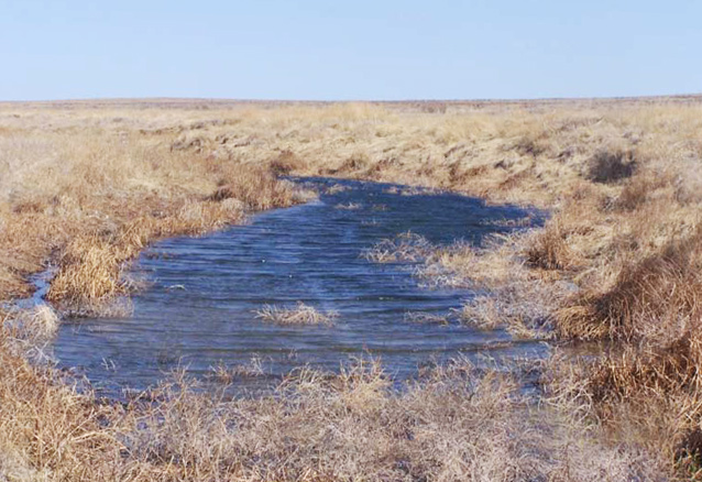
Most of the Big Sandy Creek channel and surface waters in Sand Creek Massacre NHS are wetlands. During the spring, the average high water table ranges from one to three feet and supports riparian and wetland plant species such as willows and cottonwoods. Marsh or grassy wetland environment areas increase between the Big Sandy Creek channel floodway and the Kern spring channel, a perennial spring. Cottonwood groves, stream morphology, wetland areas in the immediate floodplain and channel seemed to be stable and properly functioning at the time of the study. It is likely willows and saplings were historically present along the Big Sandy Creek channel in the immediate floodplain area.
NPS
Literature Cited
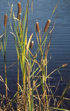
Sherry Ballard © California Academy of Sciences
Noon, K., M. Martin, J. Wagner, L. Martin, and A. Roberts. 2005. A preliminary assessment of wetland, riparian, geomorphology, and floodplain conditions at Sand Creek Massacre National Historic Site, Colorado. Technical Report NPS/ NRWRD/NRTR-2005/335. Ft. Collins, CO: National Park Service, Water Resources Division.
Project Contacts
Kevin Noon, Joel Wagner Water Resources Division, National Park Service, Denver, CO 80225-0287 USA
Larry Martin, Mike Martin Water Resources Division, National Park Service, Ft. Collins, CO 80525 USA
Alexa Roberts, Bent’s Old Fort National Historic Site, National Park Service
Prepared by Emily Yost, Southern Plains Network Inventory and Monitoring Program, 2008.
Last updated: September 30, 2016
