Monitoring Objectives
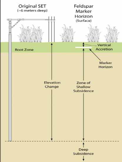
Determine the rate of salt marsh accretion or subsidence.
Determine the status and trends in soil salinity.
Determine trends in relative sea level rise
Determine species composition, cover and height.
Determine trends in marsh extent
We plan to develop and use standardized multi-agency
monitoring protocol." Tony Curtis
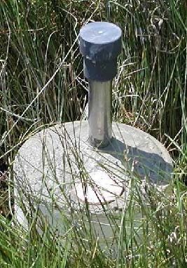
How? Surface Elevation Tables

NPS Photo
Data Collection

NPS Photo
Surface Elevation Table is a portable mechanical leveling device for measuring the relative elevation of wetland sediments.
Percisly measure sediment elevation in wetlands to determine rates of elevation change, particularly relative to sea level rise.
Status at the Timucuan Preserve
Last updated: March 6, 2017
