Last updated: February 9, 2022
Article
Putting the Pieces Together: Utah’s Jordan River Parkway and Big Bend Habitat

By Laura Watt and Margaret Gach
The Jordan River Parkway has been a long time coming for residents of Utah’s Wasatch Front. Plans to build a trail network along the 50-mile river corridor were first brought to the communities along the water in the 1970s. But it was not until just a few years ago that organizers, with the help of the National Park Service – Rivers, Trails and Conservation Assistance program, could truly see one of the four critical gaps in the parkway come together.
“We had this great little river that flows through the urbanized valley that had been totally neglected over the years,” said Laura Hanson, one of the founding members of the Jordan River Commission. “We thought, well, this could be our Central Park if we really took care of it.”
Flowing through six of Utah’s biggest counties, the Jordan River was polluted by industrial waste and had been forcibly straightened at Big Bend to accommodate a steel mill, causing widespread ecological damage.
The National Park Service helped the community close the gaps in its trail network and incorporate the project with Big Bend restoration efforts – a massive undertaking to restore 70 acres of habitat to reconnect the floodplain with the river. When completed, the project will provide one mile of restored river channel, wetland habitat, riparian habitat, upland habitat and urban fisheries. Amenities such as boardwalks and interpretive signage on the adjacent Jordan River Trail will allow people to see and learn about the wildlife, culture and history of the area.
“The NPS – Rivers, Trails and Conservation Assistance program was absolutely key; their work at the front end gave us everything we needed,” said Chuck Tarver, grant coordinator for the City of West Jordan. Tarver was involved from the start in both the trail project and Big Bend. “They’ve helped us from day one to get a final design, do all the coordination with all our partners, and scheduled unlimited meetings with the city, all of our partners, all of our stakeholders.”
The first step in reclaiming the river was advancing the trail. Over a period of years, a trail network along the river to connect three counties was put in place piece by piece. Yet by 2010, four of the most complicated trail sections lay unconnected in the cities of Salt Lake City, West Jordan and Bluffdale – a total of five miles of uncompleted trails.
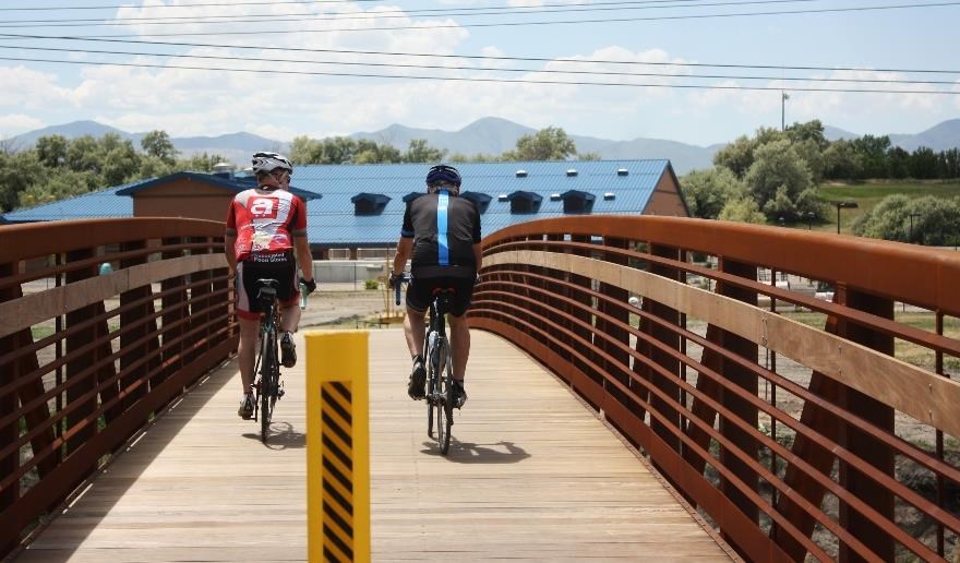
In West Jordan, the missing trail was a 1.2-mile stretch that, if completed, would create a continuous 25 miles of the parkway from Salt Lake City through West Jordan and beyond and provide direct connection to a regional transportation and light rail.
“What would happen is, residents or users would get to a trail gap and say, ‘I have no idea how to get around this, I have no idea
where this trail goes,’ and they would stop using it,” said National Park Service project manager Marcy DeMillion.

Connecting Communities
In 2010, West Jordan applied for National Park Service - Rivers, Trails and Conservation Assistance technical support to help the city create a trail partnership and action plan. DeMillion started by marketing the four trail gaps as a valley-wide project, helping cities envision how each of the missing segments fundamentally affected everyone’s enjoyment of the Jordan River Parkway. By explaining the project through the lens of connecting communities, each city with a gap and those in between were motivated to help each other mobilize support and funding for the final steps of the decades-long project.
“One of the things that was really valuable for us is even though we had a big group of people who were working together and access to certain types of funding, having [the National Park Service] there to help bring in different partners was just really helpful,” said Hanson.
She said that with such an ambitious and complex project, DeMillion and other National Park Service staff and landscape architects were essential to many technical aspects of the project, such as preparing a request for proposal and a 50-page trail action plan for West Jordan’s trail gap.
The people power was especially useful for getting the word out about the trail to those who could use it. Travelling through so many different communities in the heart of the Salt Lake Valley, the parkway is a prime route for commuters and recreational users alike. But for many years the gaps prevented many people from riding the trail as a safe way to get to work, and this lack of use created space for crime and other unwanted activities.
The partners working on the trail did not have digital mapping skills, but the National Park Service staff did – helping create the first-ever printed trail map of the parkway. Hanson believes the trail map made the difference in promoting the work the city and the Jordan River Commission had been doing, particularly in highlighting alternative transportation routes.
“We worked really hard to make [the map] an educational tool as well,” Hanson said. “When we were putting together the trail map, we really tried hard to find bicycle connections from the train stations to the trail, and from the trail out into the community.”
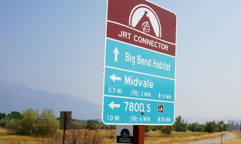
Most recently, the National Park Service made the trail more user-friendly by identifying funding to install wayfinding signage along the path that provides mileage information as well as calories burned hoping that would encourage more people to use the trail for physical activity.

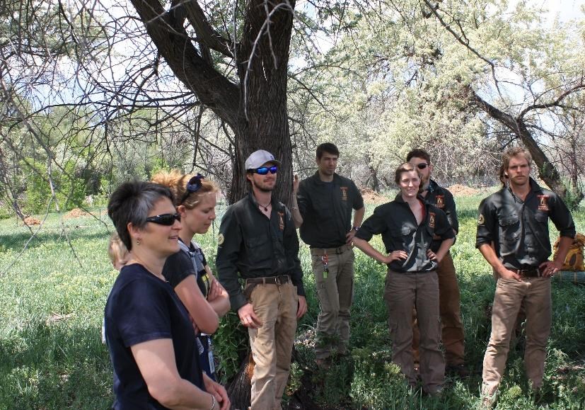
Alongside the completion of the West Jordan trail gap, National Park Service staff brought together federal, state and local partners to begin the Big Bend Habitat Restoration Project. DeMillion coordinated some of the initial concept plans.
“I put together a history of this property. There were so many agencies involved over the years but it was such a big project it was hard for the city to decide where to begin. So, we worked together to decide where little steps then larger steps would help move the project forward with partner support,” DeMillion said.

“Convincing people that it’s a good idea to create, to spend money to conserve an area that’s fairly urbanized, is a bit of an uphill battle,” said Eric McCulley, project manager for Utah’s Watershed Restoration Initiative on the Big Bend Restoration Project. “This project has been going on for 20 years, so picking up a project that has this grand vision and seeing actual progress being made is the most exciting part for me.”
“What I’ve found up and down the river with all these projects is that if you can create a safe place for kids to go and get them near the water, it really can have a big impact on people’s lives,” McCulley added.
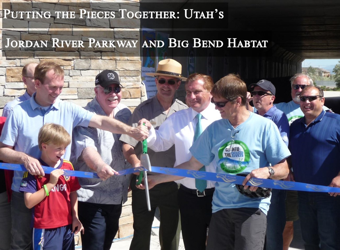
With the completion of the West Jordan trail gap in 2014 and the restoration of Big Bend in progress, which is expected to be completed over the next six to seven years according to Tarver, the city will soon host one of Salt Lake County’s largest natural spaces for everyone to enjoy.
“The volume of work that Marcy and her staff did was just unreal; they went way beyond our expectations and probably their expectations,” said Tarver. “They were a huge driving force to getting us where we’re at today.”
There is still much to be done in the river corridor, but with the determination of local leaders, community support and the National Park Service – Rivers, Trails and Conservation Assistance program’s efforts, the process that had been stagnant since the 1980s is now flowing smoothly again. For the National Park Service part, DeMillion said she just needed to bring together different communities and stakeholders to help make “something awesome happen.”
