Last updated: April 9, 2023
Article
Sounding Seafloor Habitats: Researchers use sonar to map the underwater resources of four National Parks
NPS
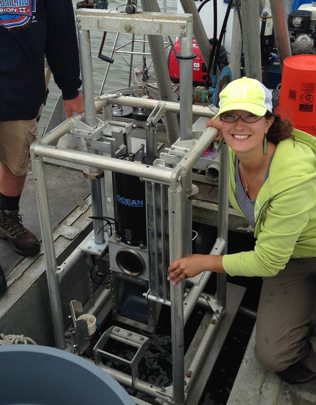
Monique LaFrance spent the better part of last summer drifting through Long Island’s Great South Bay, traveling at five knots or less as pulses of sound bounced from the seafloor to a computer on board a research vessel. The sounds bouncing off sea grass and shellfish beds materialized on a screen, creating some of the first scientific images of geology and marine life on the seafloor of Fire Island National Seashore (FIIS), a coastal National Park in New York.
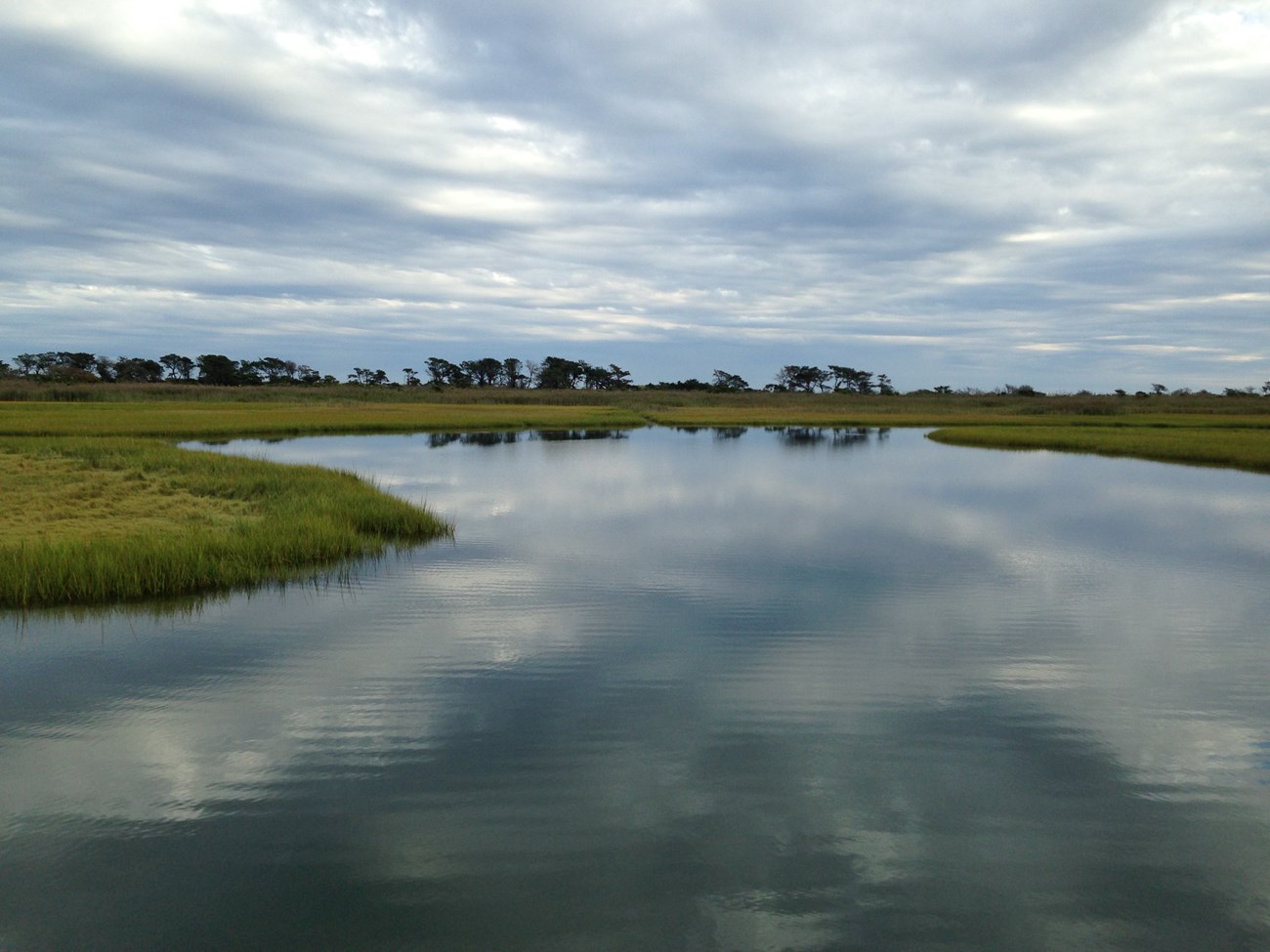
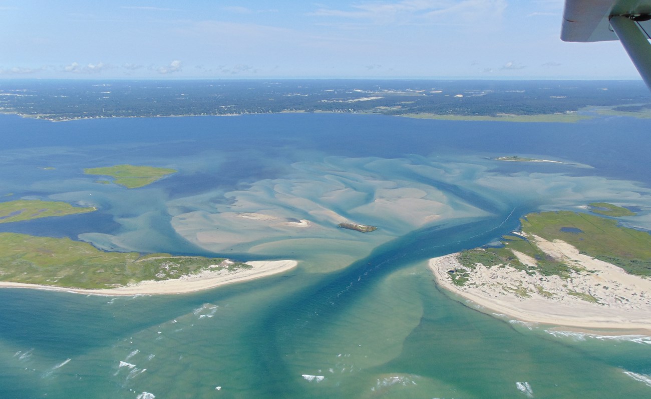
Great South Bay, which is off the south shore of Long Island, certainly has its charms as a summer destination. Lately, the water there reflects clear blues that resemble the Caribbean. Its waters lap against a federally protected wilderness, a rare maritime holly forest, and a quintessential New England seascape of salt marshes. But what’s drawn researchers to this place is a landmark mission in four coastal National Parks to map thousands of acres of underwater habitats that have never been surveyed.
Now a graduate research assistant in the University of Rhode Island (URI) Graduate School of Oceanography (GSO), LaFrance remembers when she was just getting her sea legs. Eight years ago, URI GSO professor and researcher Dr. John King gave LaFrance her first introduction to habitat mapping when she was an undergraduate summer intern studying marine biology.
“I had no idea what this field was at all,” LaFrance says. “It just sounded interesting.”
LaFrance/NPS
Now, LaFrance is working toward her doctorate and taking on more responsibility. Dr. King, the Principal Investigator of the habitat-mapping project for the National Park Service (NPS), hired LaFrance to manage all fieldwork at FIIS and to assist NPS by coordinating research teams at three other coastal National Parks. When LaFrance returns to Great South Bay this summer, she’ll hire undergraduate students to assist as research interns. Together, the four habitat-mapping teams will create maps to help coastal parks in New York, New Jersey, Massachusetts, and Maryland better prepare for damaging storms and sea level rise.
Dr. King’s project is groundbreaking. For three of the parks included in the study—FIIS, Gateway National Recreation Area, and Assateague Island National Seashore—more than half of the park territory is submerged. At FIIS, 75 percent of the park is submerged in Great South Bay or the Atlantic Ocean, an expanse of seafloor that’s the equivalent of about 8,000 football fields. Sea grass beds, shellfish beds, and structural features in the geology of the seafloor like boulder fields, mud flats, sand waves, and sand ripples make up these submerged areas. Many teem with life, and those that don’t could again. Their geological features directly impact species that are significant commercially, recreationally, and ecologically.
LaFrance/NPS
Park managers have “a general sense” of what’s on the seafloor, King says. But until now, no one has performed the research that would show the distinctive geological and biological features of those habitats. “Almost none of the National Seashores have habitat-mapping data for their parks,” says King. The work that King’s Coastal Mapping Lab is doing will fill that gap.
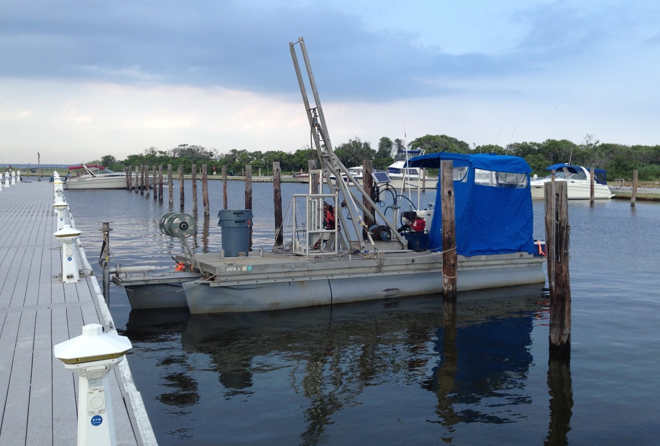
Submerged habitat mapping is a costly, labor-intensive endeavor. An hour or so before dawn, King’s team sets up their gear. They cruise aboard a stark 28-foot pontoon boat collecting data for twelve hours straight. Since there are no enclosed areas on the boat for stowing gear, the team takes an hour or so each night to break down operations before they leave the dock.
LaFrance/NPS
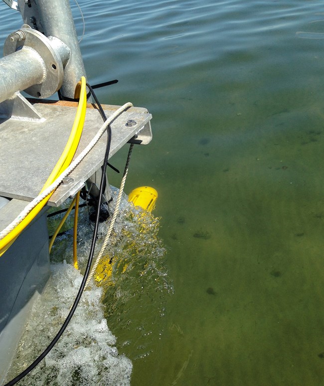
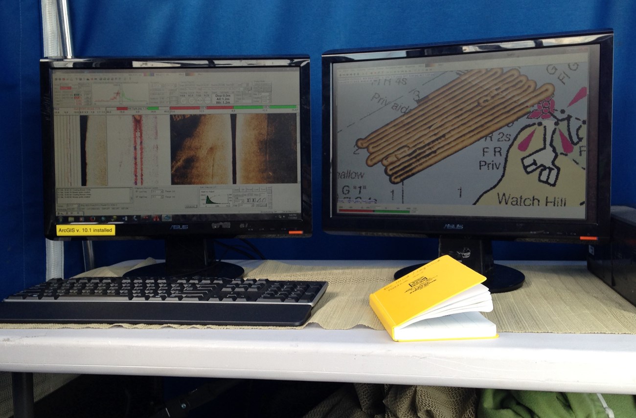
Dr. King’s research team navigates Great South Bay in straight, slightly overlapping rows—as if they were mowing a lawn. That’s because they collect full-coverage sonar data, an acoustic image for every square inch of their survey area.
Sonar technology, called interferometric side-scan sonar, releases sound pulses, which bounce back and deliver data differentiating the contours of the seafloor. When sound pulses strike mud, the mud absorbs much of the sound, so a low-intensity sound bounces back. A sound pulse striking a boulder bounces, fairly unabsorbed, and returns with high intensity. The computer on board the research vessel instantly translates the returning sound pulses into visual data.
Even for a seasoned researcher, it’s impressive and rewarding to see the operation unfold. “You get to see new things that people didn’t really know about before. You get to see instant data,” LaFrance says.
In sonar images of Great South Bay, LaFrance says, she can discern trawl marks from fishing boats, as well as the characteristic circular patterns carved out by older shellfishing operations. These circular marks represent a bygone era.
LaFrance/NPS
A prospering local shellfish industry dissolved abruptly in the mid-1980s when shellfish and the eelgrass beds that were critical to their survival were devastated by brown tides. At the time, information about what was happening on the seafloor and what comprised the submerged habitats of Great South Bay was imprecise, limited to mere generalizations.
Twenty-seven years after the first brown tide, Hurricane Sandy struck the U.S. Atlantic coast. Many of the transformations that the October 2012 storm caused in FIIS were readily apparent: breaches, leveled dunes, felled trees, flooded facilities, and demolished boardwalks. But no one could account for any changes to the seafloor habitats of the bay. No baseline of scientific data existed to show what was once living there or what geological features were present before the storm.
Charles Flagg
Imminent threats to coastal natural resources such as coastal storms and sea level rise have amplified the urgency to collect comprehensive habitat-mapping data that will clarify the value of each park’s natural resources. Park managers can use such data to make scientifically grounded decisions about protecting natural resources that are vulnerable or that have been battered in the past by storms or other stressors.
In response to Hurricane Sandy, the U.S. Department of the Interior allocated more than $300 million for post-Hurricane Sandy mitigation projects that are designed to increase the resilience of coastal habitats and infrastructure. This federal support has made it possible for King’s lab to provide submerged habitat mapping that will give coastal National Parks—including FIIS, Gateway National Recreation Area in New York and New Jersey, Cape Cod National Seashore in Massachusetts, and Assateague Island National Seashore in Maryland—comprehensive scientific data about key natural resources.
NPS
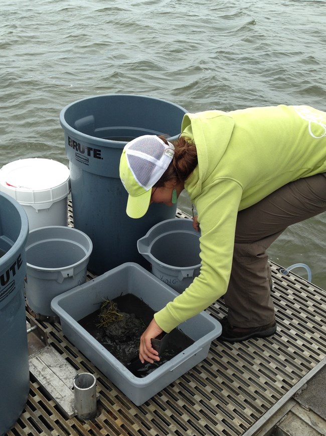
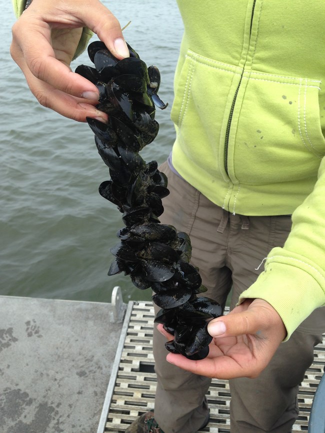
Besides collecting sonar data, Dr. King’s team will get hands-on with the grimy business of ground-truth surveys. Using a jaw-like shovel, LaFrance and other research assistants and interns will collect samples of sediment and marine life from the seafloor. They’ll measure the size of sediment in their samples and then work it through a sieve to isolate seafloor-dwelling creatures like worms, shellfish, sand dollars, amphipods, and other organisms. One by one, they’ll identify thousands of creatures.
Submerged habitat mapping is a rigorous process. It yields an incomparable baseline of information for understanding natural resources that, though less visible to us than forests or dunes, matter a great deal to coastal parks and communities.
NPS
“These habitat maps will be useful for management purposes,” says LaFrance. “They help identify where areas should be protected, what areas should be open for shellfishing or recreational use, what areas need to be restored. And then, in the event of another hurricane or some other disturbance event, the next stage of research can focus on what’s changed between now and then, so you can get a really good idea of how the area is changing.”
And changes will come. One of the few guarantees that coastal parks have about the future is that habitat stressors and storms will happen. The quest for a fuller understanding of coastal natural resources has everything to do with building knowledge and preparing for change, so that coastal parks can be ready when storms strike.
Written by Jamie Remillard & Caroline Gottschalk Druschke (SEAcomm URI)
Tags
- assateague island national seashore
- cape cod national seashore
- fire island national seashore
- gateway national recreation area
- northeast coastal and barrier network
- ncbn
- fire island national seashore
- fiis
- great south bay
- seafloor
- underwater mapping
- submerged resources
- submerged habitat mapping
- hurricane sandy
- coastal resilience
- asisscienceresearch
