Last updated: April 9, 2023
Article
After Sandy, National Parks get storm-ready: Park scientists muster elevation data and enhance information systems to prepare for future storms
NPS
Even before the winds had settled, it was obvious that Hurricane Sandy was a catastrophe. The storm, which struck the U.S. Atlantic coast on October 29, 2012, devastated coastal areas causing more than $50 billion in damages across 24 states. It produced startling impacts on natural resources and on the infrastructure of coastal National Parks.
Dr. Peter August contacted park managers soon after the storm settled to find out what he could do to help. A University of Rhode Island (URI) professor of Natural Resources Science who specializes in Geographic Information Systems (GIS), August has collaborated with the National Park Service (NPS) for more than 20 years.
“The storm caused property damage, coastal erosion, infrastructure damage,” August says. “Everybody wanted to know ‘How bad is it here? What have we lost there?’”
Few people could travel into the parks. Pavement had buckled, and bridges were compromised. Powerful winds and storm surge had tossed an astonishing quantity of sand and debris into roads and parking lots. Gasoline, electricity, and Internet service were scarce. Essential data that should have been available to park managers to support their storm response efforts had been destroyed by floodwaters.

NPS
Park managers intent on assessing the vast impacts of the storm reported mixed success in their efforts. Emergency crews unfamiliar with the parks attempted to provide information, but, says August, “There were instant language problems.” The emergency crews and park managers didn’t share “a common language of geography.”
Communities, counties, state, and federal agencies also shared relevant information with park managers. Later, when emergency crews had cleared obstacles to mobility and communication, park staff began surveying the damage. But, without a procedure in place for accessing, organizing, and interpreting the assorted information from scattered sources, the seemingly straightforward task of documenting impacts proved challenging.
“We could feel their pain.”
During catastrophic weather events, park managers depend upon information systems to help them access, gather, and organize up-to-date, critical information. The damage from Hurricane Sandy severely compromised the existing information systems in several coastal parks in the northeast.
As a founder of the Environmental Data Center (EDC) at URI, August had led the team that created the very first bytes of GIS data for several National Parks within the Northeast Coastal and Barrier Network. That was about twelve years before Sandy. “Because of our history in these parks, we had a pretty good sense for each park’s capacity,” he says.
On a clear spring day two and a half years after Hurricane Sandy, August remembers the pressures that the storm put on coastal parks’ data management systems: “When Hurricane Sandy came, we could feel their pain.”
NPS
Following the storm, park managers organized conference calls to pin down the latest information. Reports of these calls from park personnel remain particularly vivid in August’s memory. Up to 25 people at a time participated in the discussions, including NPS regional and park staff, people from other federal agencies, representatives from states impacted by the storm, and scientists from partner universities.
“‘Here’s a problem,’ someone would say. ‘Our barrier just blew away. Is somebody out there mapping it? Is somebody out there taking aerial photographs? Is somebody carefully surveying where that breach was and when?’ Big impacts were happening real-time and the information management challenges were significant,” August recalled.
In order to responsibly manage breaches—breaks in barrier islands that cause ocean water and bay water to flow together freely—park managers need regular information about daily, even hourly, changes. They need to consult reliable geospatial information like the data that August’s lab gathers, including LiDAR imagery, high-accuracy elevation maps, and up-to-date aerial photographs.
“The Park Service doesn’t have the ability to launch a fleet of aircraft and take aerial photography and beam that into the National Park Service database. That’s not what they do,” August says. “So, to be effective, the National Park Service needs to know who will be collecting those data, in what form and format are those data, how do they obtain it, and how do they massage it into a format that’s actually useful to them.”
August and two teams of GIS specialists at EDC are helped coastal parks do just that. They gathered essential elevation data and established a data management system so that coastal parks will be better prepared for future storms.
“The elevation and data projects totally complement each other” August says. “It’s about information that you need to prepare for a storm, respond during a storm to make sure that people and places are safe, and assess the impact of the storm afterwards.”
NPS
Elevating all coastal parks
In 2014, EDC launched its elevation mapping and data management projects in collaboration with three National Parks, each of which sustained significant damage during Hurricane Sandy: Assateague Island National Seashore (ASIS), Fire Island National Seashore (FIIS), and Gateway National Recreation Area (GATE). Since their establishment as National Parks between 1964 and 1972, none of these three parks had encountered a storm as powerful or as damaging as Hurricane Sandy.
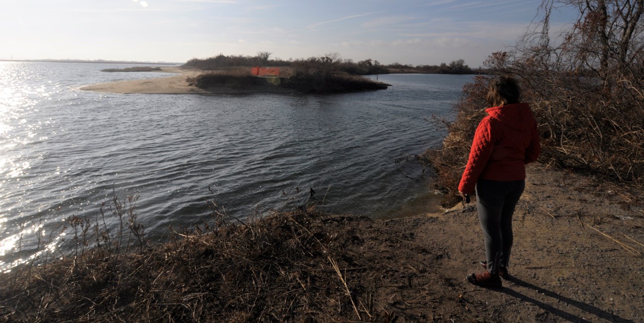
At FIIS, a barrier island off the south shore of Long Island, New York, Sandy created a breach in the middle of a federally protected wilderness. Within two year’s time, the breach grew to be 300-meters across at its narrowest point. Park scientists and their partners at a number of universities continue to monitor it as currents redistribute sediments and transform the outlines of the breach almost daily.
Sandy flooded massive areas of ASIS, in Maryland. Storm surge and waves tossed sediment and debris across the island and ripped into parking areas. The storm marred boardwalks, trails, and campgrounds and damaged the lone pedestrian bridge connecting the island to the mainland.
GATE, in New York and New Jersey, suffered the most costly damages of any of the National Parks in the northeast coastal region. There, Sandy flooded historic landmarks and park maintenance buildings, destroyed sewer and water systems, and unearthed unexploded ammunition on beaches near a former military base in the park.
The tandem elevation and data management projects for these parks was made possible by U.S. Department of the Interior’s $300 million post-Hurricane Sandy mitigation initiative, which was designed to address the likelihood that coastal areas will confront more frequent powerful storms, sea level rise, and other climate change impacts.
For his part, August expected that the EDC’s work to enhance storm preparedness in these three parks has had far-reaching benefits. “What we recommend for Gateway and Fire Island and Assateague isn’t limited to these parks,” he says. “The lessons are appropriate for all coastal parks.”
NPS/URI-EDC
Answering the $64,000 question
Elevation data is key to identifying what places, structures, or resources would be at risk in any given future storm scenario.
“Should a storm like Sandy happen again, what areas, what structures, what habitats are and are not at risk? That’s the $64,000 question: what’s at risk?” August says. “If we have a Category 4 storm and it comes at high tide, will this building be wet or dry? To want to know that is kinda common sense. To be able to do it is not.”
Prior to Hurricane Sandy, coastal parks had limited infrastructure to support elevation surveys of key coastal sites and limited elevation data for producing accurate inundation models. Inundation models show where water would be during storm events of varying characteristics. These models can identify whether specific buildings, roads, power lines, bridges, archaeological sites, or natural resources would need fortification, would be safe, or would be underwater.
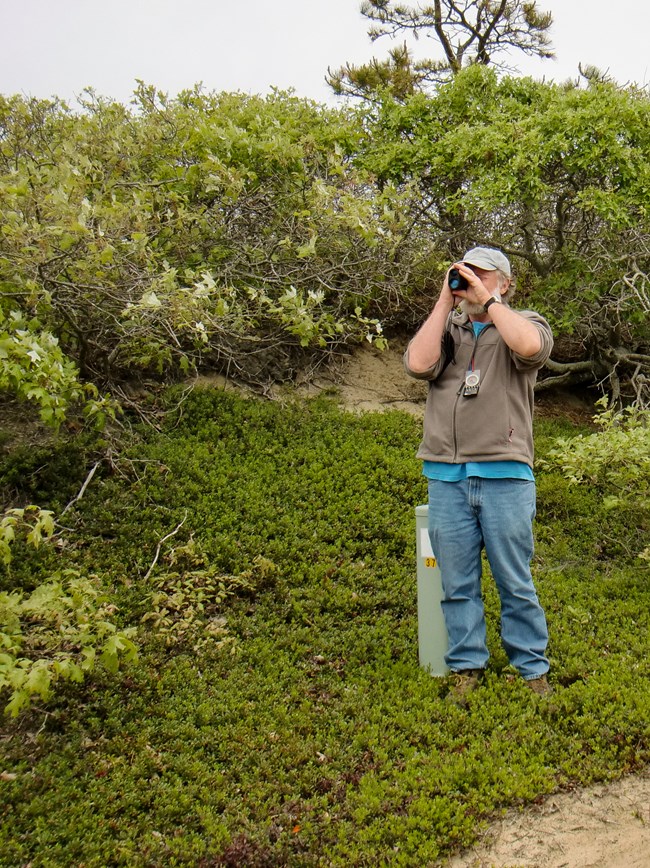
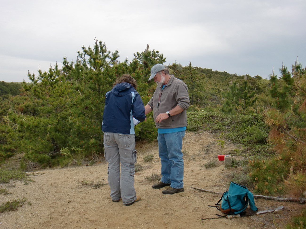
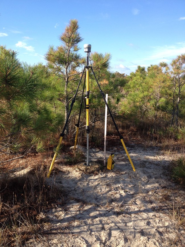
To produce such models, the EDC elevation team has installed new geodetic benchmarks, or permanent brass disks that identify specific points where the elevation, or relative height above sea level, has been carefully measured. The team has used these benchmarks along with new, survey-grade GPS equipment purchased with the federal mitigation funds to take elevation measurements that are accurate to within centimeters. This precise elevation data will provide the substance for inundation models that park managers can use for years to come to prepare for, respond to, and assess the impacts of coastal storms and sea level rise.
NPS
Making parks “standalone capable”
The National Park Service gathers some critical information to meet its own management needs. In addition, communities, counties, states, federal agencies, and academic institutions supply relevant information that park managers need access to in an emergency. But all of the information in the world won’t make a difference to park managers during a catastrophic weather event if it’s scattered, inaccessible, or disorganized.
The loss of electricity and Internet access following Hurricane Sandy undermined park managers’ ability to access data in an efficient way, August remembers. “There was this avalanche of new information coming in from all different places,” he says, and making it compatible with NPS information systems and data standards was no small challenge.
That’s why a second EDC team has created a data management system for FIIS, ASIS, and GATE that supports planning and response to future extreme weather events. They’ve worked in advance of the next storm seasons to learn what critical information the parks need, to scout out useful data sets that are scattered among various sources, and to organize, format, and secure the data so that park managers can access it and navigate it with ease. The data management team has also establish standard practices, procedures, and workflows, so the new system will be sustainable.
Together, August says, the aim of the two EDC projects—elevation mapping and data management—was to help National Parks become “standalone capable” during a catastrophic storm event. Already, park staff have tested EDC’s data management prototypes for ease and accessibility, and August suggests that if a Category 3 hurricane struck these coastal parks tomorrow, they would be better prepared than ever.
Even in the midst of a major storm, August says, coastal parks should have local access to all of the geospatial data—elevation maps, inundation models, LiDAR, and more—that they need to handle storm preparations and response. He and his team are working to make it so ahead of the next serious weather season.
Written by Jamie Remillard & Caroline Gottschalk Druschke (SEAcomm URI)
Tags
- assateague island national seashore
- fire island national seashore
- gateway national recreation area
- ncbn
- northeast coastal and barrier network
- fire island national seashore
- fiis
- gateway national recreation area
- assateague national seashore
- gate
- hurricane sandy
- coastal communities
- elevation data
- asisscienceresearch
