Last updated: December 30, 2019
Article
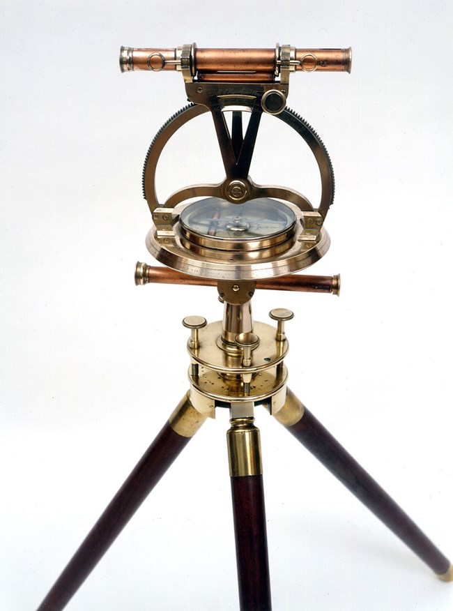
Navigation for Lewis and Clark: Theodolite

Photo: Thomas Jefferson Foundation
There was much debate about bringing along a theodolite, as some felt such an instrument was too delicate for the long, arduous journey. Both Lewis and Thomas Jefferson, however, believed it was essential, and the president (who knew all about surveying) offered to lend his personal theodolite.
Mr. Jefferson’s theodolite was created by Jesse Ramsden, a famous British instrument maker, also known as the developer of the “Great Theodolite,” a massive instrument that could accurately measure over a distance of 70 miles.
Source: “The Scientific Instruments of the Lewis and Clark Expedition,” by Silvio A. Bedini, Smithsonian Institution
