Library of Congress
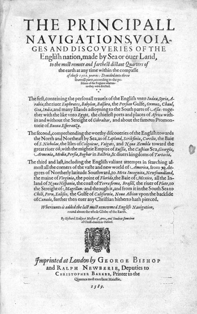
Many advancements in maritime navigation occured in the sixteenth century. Although the practice of using the stars to determine direction and time of day had been in use for thousands of years, the need to find location without landmarks became more urgent as sailors, traders, and explorers began to roam the high seas as never before. While many European sailors were familiar with localized trade routes, the need for accurate transatlantic navigation led to the refinement of instruments and methods in the sixteenth century.

Library of Congress
Navigation is fundamentally based on determining latitude (the angular distance of a place north or south of the equator) and longitude (the angular distance of a place east or west of a determined reference point such as Greenwich, England). Measuring longitude requires comparing local time measured by the stars to local time at a reference point measured by a clock. While mechanical timepieces existed in the Elizabethan era, they had to be continuously corrected by sun sightings, rendering them useless aboard a moving vessel. Measuring latitude, however, does not require a timepiece. Therefore, Elizabethan sailors often relied heavily on latitude for navigation.
Because of sixteenth-century sailors' inability to use latitude and longitude in tandem when navigating the Atlantic, the method of dead reckoning was often employed. Starting at a known location, the navigator measured the speed and heading of the ship, the speed of the ocean currents and the leeward drift of the ship, and the time spent on each heading. This method of dead reckoning allowed the navigator to determine the course made and the distance covered. While this method of navigation was often very accurate, it relied heavily on proper instrumentation.

Library of Congress
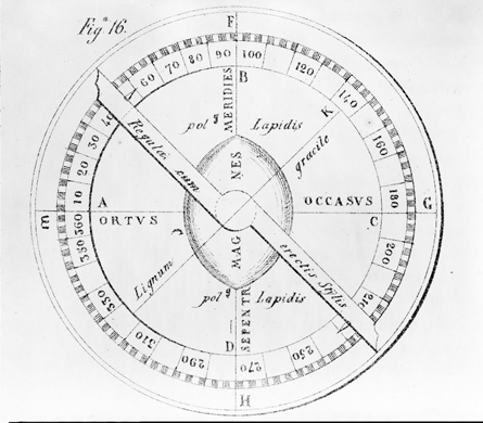
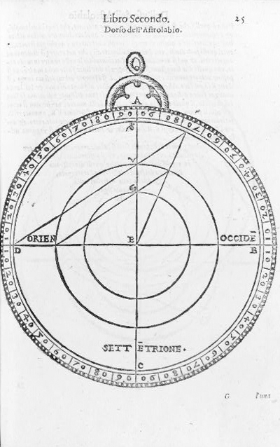
While instruments like the astrolabe, celestial globe, quadrant, and cross-staff were still in use in the sixteenth century, the eventual adoption of the magnetic compass rendered most other navigational aids obsolete. The magnetic compass, developed independently by the Chinese in the eleventh century and Europeans in the twelfth, did not require heavenly bodies to be visible in order to function.
Always pointing north day or night, a sixteenth-century magnetic compass consisted of a magnetized needle attached to the underside of a circular card on which multiple directions were drawn. A small brass pin allowed the needle to revolve freely. The compass was kept in an open top box which was inserted in to a type of cupboard called a bittacle, which was attached to the front of the ship's deck.
In addition to a magnetic compass providing direction, an hourglass provided an accurate measurement of time. The most common hourglasses were actually in four-hour or half-hour sizes, to correspond with a typical ship's watch lasting four hours with one half-hour interval.
The hourglass was used in tandem with a log, a piece of wood attached to a line with uniform knotted intervals. As the log was thrown overboard, the sailor kept count of when the first knot would pass through his hands, and called out for another sailor to turn a one-minute hourglass at that point, counting each knot until the hourglass ran out. Arithmetic would then determine the ship's speed in nautical miles per hour, or "knots".

Library of Congress
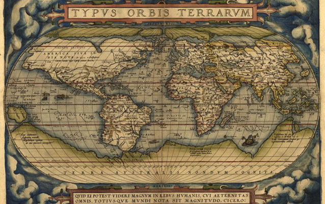
These fundamental elements of navigation working together, coupled with a greater understanding of ocean currents and increasingly accurate navigational charts and maps, allowed European sailors to traverse the Atlantic Ocean in the sixteenth century like never before.
Last updated: August 16, 2017
