Last updated: December 28, 2017
Article
NASA Creating New Global 3-D Vegetation Maps, Studies of Carbon and Water Cycles

NASA
December 2017 - Over the next two years, NASA will be deploying new laser-based instruments to help measure tree height and canopy structure as well as heat and drought stress on the planet’s vegetation. Data from these missions will help us understand plant health and their role in global carbon and water cycles.
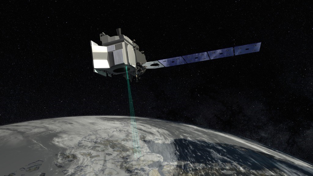
Data from two of the new NASA missions—the Global Ecosystem Dynamics Investigation (GEDI) and the Ice, Cloud, and land Elevation Satellite-2 (ICESat-2)—will be combined to help scientists create new 3-D maps of Earth's vegetation. Data from these tools, combined with existing forest maps, will then allow them to estimate how much plant life there is, and therefore how much carbon it is storing. Changes over time will help indicate how much carbon is being absorbed as the plants grow, and how much has been released as forests are lost. GEDI will also provide information about how forest structure affects habitat quality and biodiversity. GEDI’s path will focus on tropical regions; however, ICESat-2’s pole-to-pole orbit will cover more of the Earth’s surface.
Another mission, the ECOsystem Spaceborne Thermal Radiometer Experiment on Space Station (ECOSTRESS), will measure plant temperature as well as heat and drought stress through measurements of the daily uptake of carbon dioxide. Plants that are under heat stress transpire more cooling water vapor and take in more carbon dioxide. By taking measurements at different times of the day, every few days, at the same spot scientists will be able to understand plant water dynamics over the course of an average day, and also how plants in certain regions are affected by temperature changes and drought. With implications for everything from agriculture to forestry, data from the ECOSTRESS mission will be useful to a wide range of scientists and managers.
More details about these new mapping tools and the data they hope to generate with them are available on the NASA website.
