Last updated: February 9, 2022
Article
Moving Mountains: A Bi-state 354 Mile Trail Plan

By Evelyn Moreno and Margaret Gach
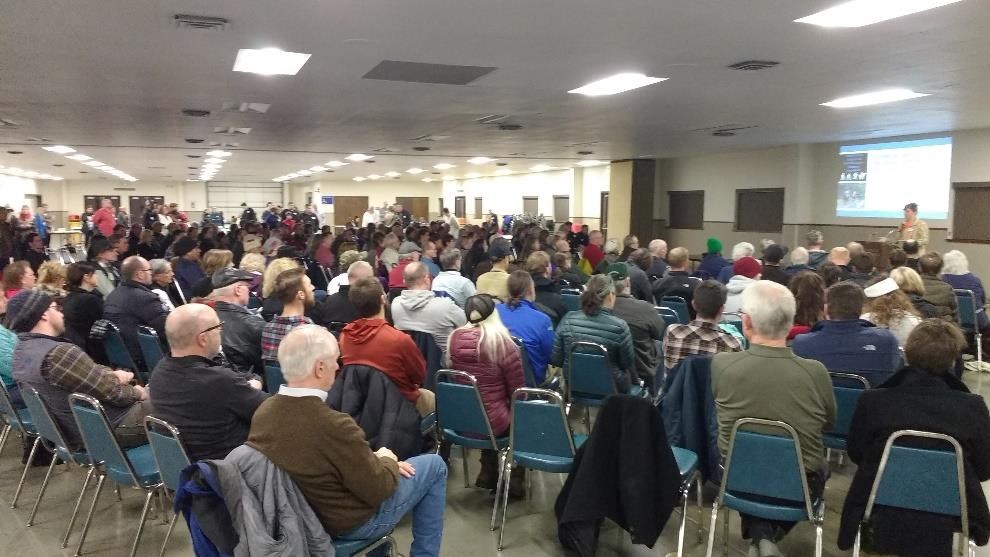
When more than 200 community members squeezed into the Walla Walla Fairgrounds Community Center on a chilly day in Jan. 2017 – Andrea Weckmueller-Behringer, the executive director of Washington’s Walla Walla County Metropolitan Planning Organization, was a bit overwhelmed.
It was the second of four planning workshops that the National Park Service – Rivers, Trails and Conservation Assistance program helped plan alongside a collective of Washington and Oregon cities, counties, health departments and other community entities. The goal of the workshops, in which more than 600 people participated, was to gather the public’s recommendations for a trail network through the Blue Mountains of Washington and Oregon.
“Boy, did they share their thoughts and ideas,” said Weckmueller-Behringer. She explained that the wide interest she saw at every step in the planning process came from the valley residents’ desire to protect the beautiful land many have called home for generations. “There’s an innate interest within the public to make sure we not only preserve these resources, but that we also utilize them in the best and most efficient way we can.”

The Vision
The Blue Mountain Region Trails project began after Walla Walla’s Community Council led a study on the area’s outdoor recreation opportunities. According to Mary Campbell, the executive director of the Community Council, the community was looking for a way to harness the beauty of the Blue Mountains to enhance the economies, health and overall quality of life of the small and isolated towns in the valley. One of the recommendations by the study group was a regional network of trails to connect those communities, from Columbia and Walla Walla Counties in Washington to northeastern Umatilla County in Oregon, by maintaining existing trails and filling in gaps in the system.
Campbell began to pull in collaborators who were enthusiastic about the project and brought a wide range of experience to the table. However, what they still needed was someone who had worked on this type of project before and could organize the multiple partners involved to create a digestible plan for the trail network. Someone like National Park Service project manager Dan Miller.
“One of the National Park Service support is to help engage community members in a collaborative element of the planning process or a project, and to bring the knowledge of a planning process into play,” Miller said. “Many residents have not worked on something at such a regional scale like this partnership. So to have someone who’s gone through the process regionally and also nationally is huge help.”
He began working with the local, regional, state and federal stakeholders to map out where existing and needed trail connections were to provide for safe routes to schools and parks, encourage active transportation between towns and reduce physical inactivity. The collaborators looked at every type of trail: backroads, sidewalks, rail trails, urban, rural, paved and natural surfaced.
Miller said that he normally would caution against having such a wide focus over a large area, but the partners were so passionate about the project, they were determined to make it work.
Campbell and Weckmueller-Behringer agreed that Miller’s expertise in trail accessibility, user friendliness, trail surfaces, financial resources and networking was indispensable to the team.
“Dan Miller was extremely adept at reeling us back in and pointing out the flaws in our planning, which was phenomenal,” said Weckmueller-Behringer. “Learning from somebody who’d seen those mistakes made [in previous projects] was invaluable to us.”
Once the lead partners had established their goals, scope and preliminary plans, it was time to take the trail network concept to the public. The stakeholder planning team focused on creating workshops that were accessible and inclusive, adding elements such as instant translation services for the large Spanish-speaking population in the region and activities to occupy children during the presentations.

A Sense of Community
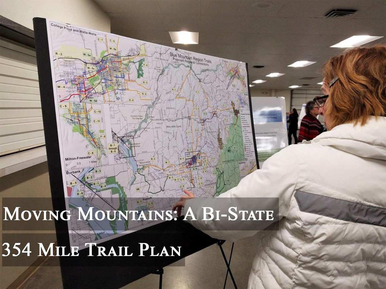
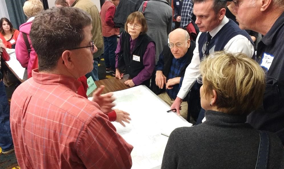
The public meetings brought the project to life, according to Weckmueller-Behringe. Tables were set up around the room to represent different sections of the proposed trail networks. Attendees could point out on a map where they wanted the trail and why, and a facilitator would draw the proposal onto the map. More than 1,000 suggestions were gathered from the public.
“If you could’ve been at those workshops, the sense of community was just phenomenal,” said Campbell. Even when there was disagreement over the details of the plan, she was excited to see people from all over the region come together for a common interest. “That’s why I love the metaphor that this trail provides our community: it’s literally a connecting and building of community.”
Once the community-based workshops were completed, the next step was to compile the routes and comments from the public and stakeholders. Miller digitized each town’s trail assets, as most communities were too small to have access to Geographic Information Systems resources. From there, the team created the final concept plan of the trail network, which proposes 354 miles of new sidewalks, bike paths and improved trails.
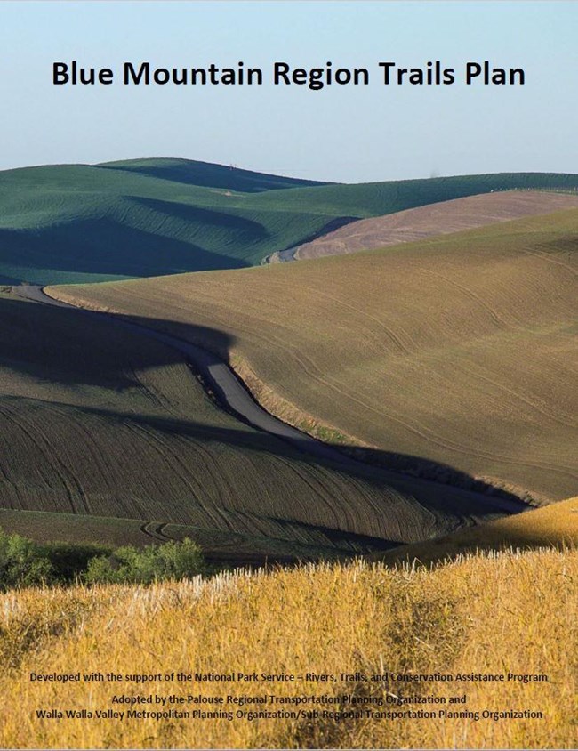
After a draft plan was crafted, another round of open houses and an interactive online platform were used to encourage further refinement of the plan. The Blue Mountain Regional Trails Plan was then released in its final form and adopted by the various governments involved. The 179-page-plan identifies the proposed trail network, next steps and funding sources. The plan, which received an “excellence in planning” award from the American Planning Association in 2018, has already spurred partners to action with implementation planning.
Though the National Park Service no longer plays a role in the project, Miller said he is always open for calls from stakeholders to answer any questions they may have. Campbell explained that the concept plan that Miller helped create guides the communities to prioritize which sections to work on and keeps the region unified in their efforts. Additionally, Weckmueller-Behringer said the personal connections formed among the planning team and the investment from the public makes her confident the trail network will be successful in connecting the communities in the region.
Most recently, project stakeholders received an award from Jay Inslee, the governor of Washington. According to the State of Washington Department of Commerce, the 2019 Smart Communities Award “recognizes achievements by local leaders who promote smart growth planning and projects that contribute to thriving communities, a prosperous economy and sustainable infrastructure in Washington.”
“Once the expectations have been raised with the public, there’s no stopping it,” said Weckmueller-Behringer. “It’s time to see it through.”
