Last updated: August 18, 2017
Article
Inventory of Geothermal Resources in Washington State

M. Korosec (DGER)
Importance
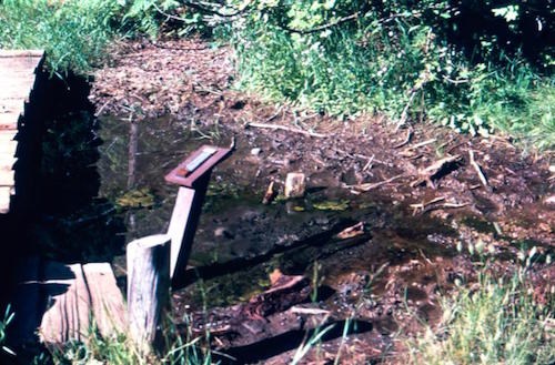
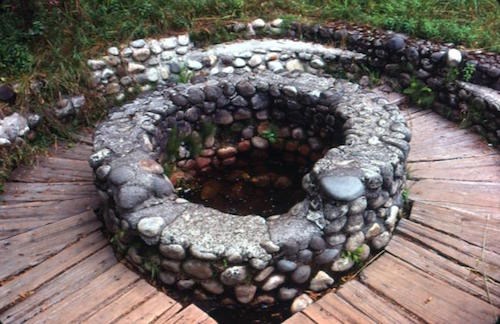
In recent years, there has been a significant increase in federal funding for identifying, understanding, and more efficiently utilizing renewable energy nationwide. One project funded by the U.S. Department of Energy allows state geological surveys to research, compile, and submit data related to potential geothermal resources to the National Geothermal Data System (NGDS). As part of this effort, the Washington State Department of Natural Resources (DNR) through the Division of Geology and Earth Resources (DGER) (Washington Geological Survey) is acquiring new geochemistry from thermal and mineral springs around Mount Rainier using current geochemistry methods. Geochemistry collected from numerous thermal and mineral springs throughout the park (omitting near- or at-boiling-point fumaroles located around the summit) will provide geologists with an opportunity to understand the characteristics of the heat source, the reservoir temperature at depth, and the influence of meteoric water on a geothermal system. This data alone would paint a very narrow picture of the geothermal potential of Washington State; however, when combined with related data collected statewide, it becomes a very powerful and robust dataset. The objective of this project is to provide a more complete dataset for future research on geothermal systems in Washington State. Sampling around Mount Rainier is not intended for geothermal resource development within the park.

L. Fusso (DGER)
Project Status and Discussion
Prior to this project, the most recent thermal and mineral spring sampling around Mount Rainier was done in the late 1970s and early 1980s by DGER. Since that time, analytical equipment and methods have significantly improved and are being used to re-evaluate springs previously measured, as well as new springs that have never been sampled. We are analyzing each spring sample for major element chemistry and stable isotopes such as NA, K, Ca, Mg, Li, Rb, SiO2, Cl, and SO4. We also record the water temperature and pH at time of sampling. Unfortunately, it is beyond the scope of this project at this time to identify trends and make interpretations within the geochemistry data for each spring. However, once all the data is compiled, many different analyses can be done to identify various characteristics relating to the geothermal system. For example, a simple analysis can be done to identify seasonal influences on spring temperature using the date and temperature recorded for each spring sample. Also, with more data collected regarding recharge and discharge of groundwater around Mount Rainier, it would be possible to learn how much of the thermal signature is being diluted due to the large amount of meteoric water in the region. A more advanced analysis can be done called ‘geothermometry’, which uses various ratios of the major chemical elements for an individual spring to calculate the source water reservoir at depth. This type of calculation is particularly useful when multiple spring samples have been analyzed, and an assessment of the energy potential is required. With Mount Rainier National Park encompassing one of the five active volcanoes in Washington State, the park could hold the key to understanding the regional geothermal system.
Data collected will be made available through the Washington Geologic Information Portal and submitted to the National Geothermal Data System (NGDS).
