Last updated: May 7, 2018
Article
Monitoring Riparian Habitat and Wetlands at Pinnacles National Park

NPS / Jessica Weinberg McClosky

Why is Riparian Habitat Important?
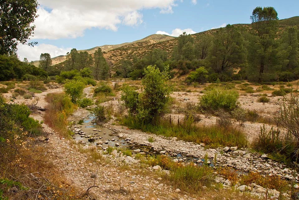
Riparian habitats, found along streams and lakes, typically support verdant stands of water-loving plants. Particularly in arid Western states, these habitats provide refuge and forage for many species of birds, mammals, amphibians, fish, and invertebrates. Throughout the San Francisco Bay Area, riparian habitat and associated wetlands have been altered and degraded for a variety of reasons including the introduction of exotic species, channelization of streams, direct fill (conversion to uplands), and urbanization of watersheds. Altered precipitation patterns associated with climate change may further degrade riparian areas. California has already lost more than 90% of certain types of wetlands, including stream-side wetlands, the most prevalent wetland type in Pinnacles National Park. Within Pinnacles, wetlands host a high diversity of native trees and shrubs and harbor many of the parks mammals, birds, reptiles, amphibians (including the federally threatened California red-legged frog), and invertebrates. Possible loss of wetlands or reductions in wetland size and diversity currently pose a great risk to habitats and wildlife in Pinnacles.
Why Do We Monitor Riparian Habitat?
- To detect changes in stream-side, or riparian, plant communities
- To identify trends in stream width and stream bed soil type
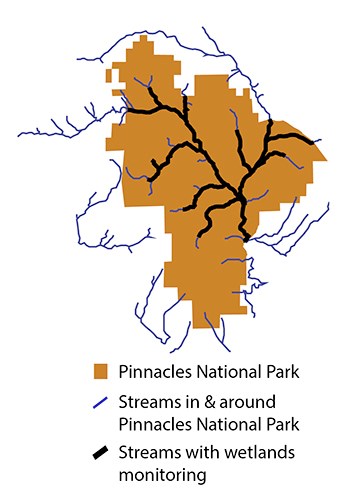
- To determine trends in the number of wetlands associated with streams in Pinnacles National Park
How Do We Use the Monitoring Data?
- To improve understanding of surface and near-surface water availability in the park and improve management of species that depend on that water
- To help the park identify and respond to potential threats to wetland habitats such as invasive plants, climate change, or changes in upstream land use that could reduce or contaminate the water supply

NPS
What Have We Learned?
For More Information:
Ecologist
Marie Denn
Links
San Francisco Bay Area Inventory & Monitoring Network
Pacific Coast Science & Learning Center
Summary by Jessica Weinberg McClosky, July 2014.
Download PDF from the NPS Data Store
