Part of a series of articles titled Crystal Clear: A Call to Action.
Article
Crystal Clear: Measuring the Occurrence, Sources, and Impacts of Endocrine-Disrupting Chemicals in Congaree National Park

NPS Photo
Background
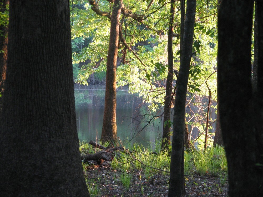
Congaree National Park has more than 11,000 acres of old growth forest along the Congaree and Wateree rivers within its boundary. EDC environmental risk at Congaree National Park is of particular concern because the park is annually inundated by floodwaters downstream of several urban centers where EDCs occur. This 14,000 square-mile watershed includes Columbia, South Carolina (population 745,000) upstream with municipal wastewater treatment plants that discharge 98,000,000 gallons (370,000 m3) of treated wastewater each day, as well as the cities of Greenville and Spartanburg, South Carolina, and Charlotte, North Carolina—a total population of nearly 2.5 million people.Status
The primary objectives of the study are to (1) document the occurrence and distribution of EDC across a range of habitats, (2) document EDC impacts to local species, (3) document the potential for EDC reduction across a range of habitats by microcosm biodegradation experiments, and (4) identify possible methods to reduce EDCs at the source. The project duration is three years, including selection of sampling locations, sediment and water collection, microcosm setup, fish collection, analysis, and report writing. The first of four seasonal samplings were conducted in May 2013, to be followed by a second round in the summer. The final two sampling rounds will occur in 2014.Last updated: November 8, 2018
