Last updated: November 16, 2025
Article
Climate and Water Monitoring at Montezuma Castle and Tuzigoot National Monuments, 2017
Overview and Importance
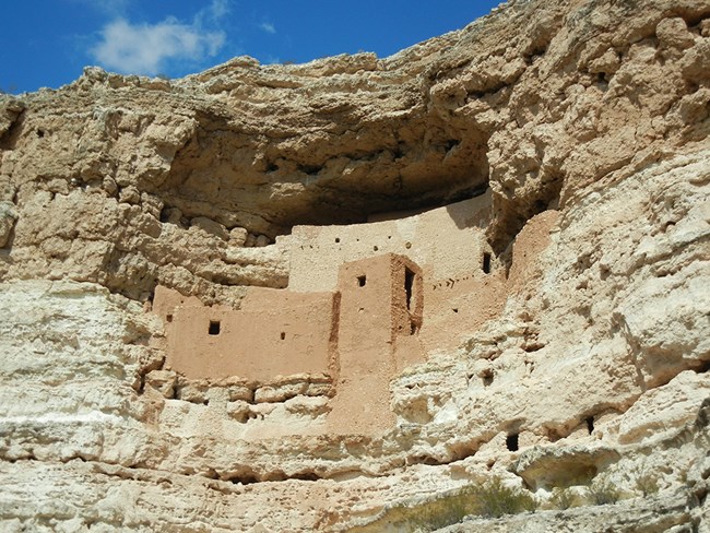
Many National Park Service units in the U.S. Southwest were established to protect precious cultural resources, such as cliff dwellings. In most cases, however, the surrounding natural environment is an equally significant part of the story. At Montezuma Castle and Tuzigoot national monuments, in central Arizona, the extant remains of the precontact built environment reflect the importance of reliable water sources.
At Montezuma Castle National Monument, the cliff dwellings of the Castle unit overlook the perennial waters of Beaver Creek, a sight both beautiful and vital to the Sinagua people who inhabited this riparian oasis for over 400 years. At the nearby Well unit, cliff dwellings nestled just below the rim of the well—a huge limestone sinkhole—are testament to the value of the site, still considered sacred by many local tribes. Wet Beaver Creek flows through the Well unit, joining Beaver Creek a few miles downstream. Both are tributaries of the Verde River, which passes through nearby Tuzigoot National Monument. The stream segment within Tuzigoot lies below an agricultural dam that diverts all but about 14% of the river’s flow. At both parks, springs also contribute to perennial surface waters.
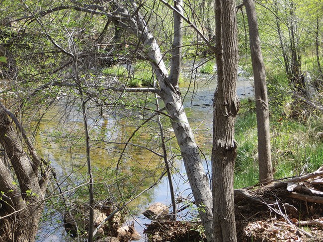
The Sonoran Desert Network monitors the health of streams and springs at Montezuma Castle and Tuzigoot national monuments. The goal of the program is to detect broad-scale changes in ecological condition by observing certain parameters over time—and to give park managers early warning of any issues they may need to address.
Hydrologic conditions are closely related to climate conditions. Because the two are better understood together, the Sonoran Desert Network reports on climate in conjunction with water resources. Reporting is done by water year (WY), which begins in October and ends the following September.
Recent Findings
Climate
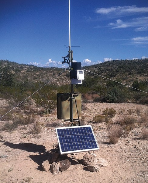
In WY2017, overall annual precipitation was 117% of normal for Montezuma Castle National Monument (16.8" vs. 14.4") and 129% of normal for Tuzigoot NM (16.36" vs. 12.71"). Precipitation at both parks was above normal both for fall and winter and for spring and summer. Maximum and minimum temperatures were generally warmer than normal, except in January, when the mean maximum temperature was at least 5.0°F below normal in both parks. The reconnaissance drought index for both parks reflected the extended regional drought that began in 2000, although conditions in WY2017 indicated a limited recovery. Extremely cold days occurred less often than normal at both parks (6 vs. 22.3 ±1.4 days for Montezuma Castle, 10 days vs. 14.6 ± 1.1 days for Tuzigoot). A storm on August 12 dropped 2.9" of rain at Montezuma Castle―an event expected to occur once every 10 years, based on the historic record. Additional information can be found at climateanalyzer.org.
Springs
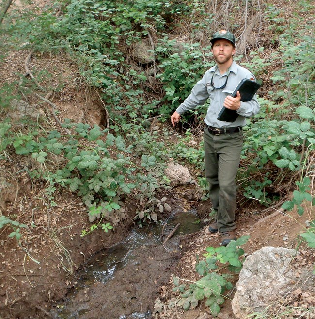
The Sonoran Desert Network monitors three springs at Montezuma Castle and Tuzigoot national monuments: Expansion Spring (Montezuma Castle/Castle unit), Montezuma Well (Montezuma Castle/Well unit), and Shea Spring (Tuzigoot). At Expansion and Shea springs, the network monitors water quality, water quantity, hydroperiod (the length of time a spring is wet or dry), and site condition. More limited monitoring is done at Montezuma Well. In WY2017, Expansion and Shea springs both had surface water present, were flowing, and showed little sign of change or disturbance. Water quality results were generally in the range of expected values.
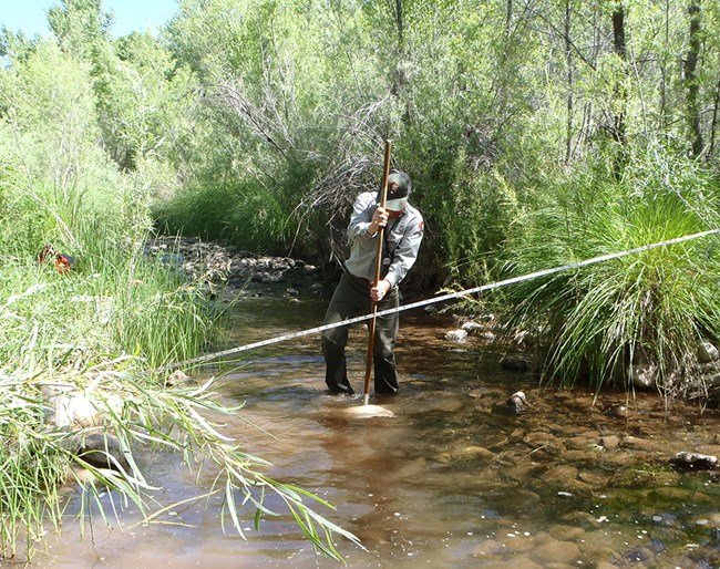
Streams
Water Quality and Macroinvertebrates
Across the three units, there were five exceedances of state water quality standards for E. coli and arsenic during WY2016, resulting in an average of 98.1% overall compliance with standards. Four of the exceedances were at the Beaver Creek index site: two for total arsenic, one for E. coli, and one for dissolved oxygen. The other was for total arsenic at the Wet Beaver Creek index site.
The Sonoran Desert Network urges park managers to continue to limit public access to the streams and water bodies, and to provide guidance and personal protective equipment to employees who need to come in contact with the water. No one should ever drink or otherwise ingest untreated stream water from these sites.
None of the WY2017 Arizona indices of biotic integrity calculated from macroinvertebrate data was in the “attaining” range for any site.
Streamflow
At Wet Beaver Creek, mean daily discharge (flow) during WY2017 was 44.6 cfs, well above the 56-year gauge record mean of 30.3 cfs. This high flow was not evenly distributed throughout the year, however. From December to March, flow was typically at or above the 75th percentile for the gauge record. Flow from April to the beginning of the monsoon was slightly lower than average. In addition, peak runoff occurred about one month earlier than average based on the 56-year gauge record. Earlier peak runoff can impact plants and animals that depend on the timing of the spring melt for successful recruitment.
Recorded flow at the Verde River gauge at Tuzigoot National Monument varied from 2.61 to 10.4 cfs during WY2017, depending on the integrity of the dam. Flow was either at or below the 25th percentile for most of the year. Flow data for Beaver Creek were provisional (results indicated that the Beaver Creek gauge accurately captures the occurrence and duration of flow events, but not their magnitude).
Information in this article was summarized from: Gwilliam, E. L., G. Goodrum, K. Raymond, and L. Palacios. 2018. Status of climate and water resources at Montezuma Castle and Tuzigoot national monuments: Water year 2017.
