Last updated: September 20, 2019
Article
Marker for Council Bluff Location
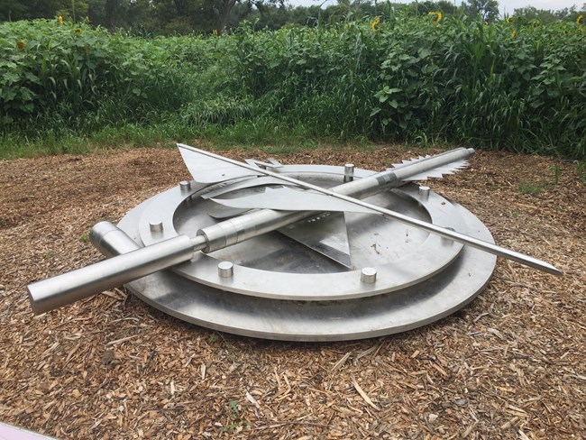
The original site of the council between the Corps of Discovery and the Oto and Missouri peoples took place in the area that would become, about 20 years later, one of the largest military installations of the Louisiana Territory -- Fort Atkinson. Today it is a Nebraska state historic park.
Within the Missouri River valley, outside today’s Fort Calhoun, Nebraska, the estimated site of the “council bluff” is now far removed from the river due to numerous changes in the Missouri’s channel. This large marker, representing a peace pipe and feather quills on top of a compass, symbolizes the approximate location of this historic meeting.
Fort Atkinson State Historic Park is open year-round from 10 a.m to 5 p.m. The visitor center/museum is open from Memorial Day to Labor Day. For more information, go to www.fortatkinsononline.org.