Last updated: January 15, 2025
Article
Project Profile: Prioritize & Protect Stream/Floodplain Historic Structures Based on Vulnerability to Climate Change

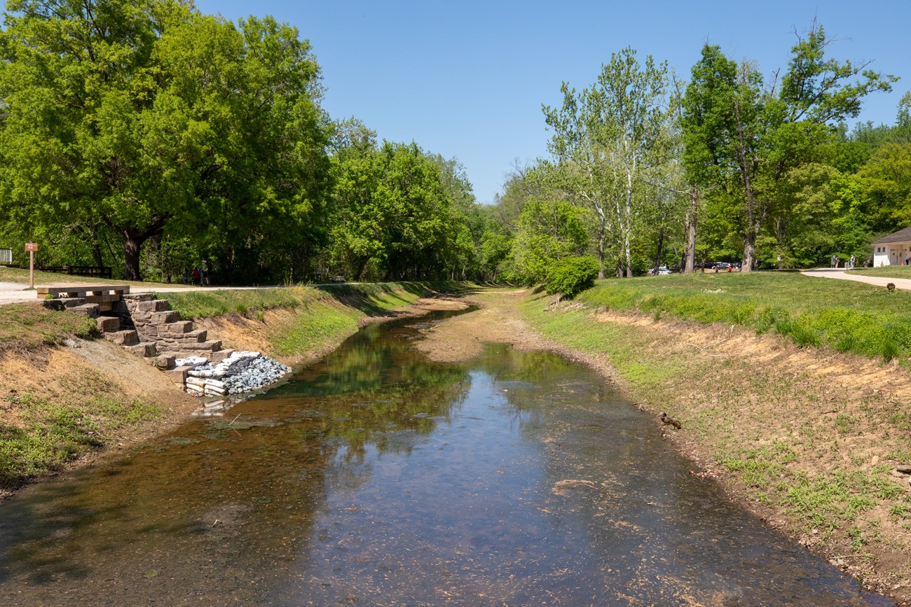
NPS / E. Cowen
Inflation Reduction Act
Resilience | FY24-25 $285,141
The National Park Service (NPS) aims to build a risk assessment model, prioritize structures for treatment, assess strategies, and preserve at-risk historic structures. The Chesapeake & Ohio Canal National Historical Park and adjacent parks, including Rock Creek Park, Catoctin Mountain Park, and Monocacy National Battlefield, all face consistent threats from riverine/stream flooding impacting historic structures. The project responds to the destruction of structures like canal sections and culverts due to floods and future climate conditions.
Why? Historic structures in the National Capital Region parks have already suffered from flooding, impacting the integrity of canal walls, locks, and other resources. These parks face similar issues, with unique structures like Civilian Conservation Corps-constructed culverts degrading. Future climate conditions anticipate increased precipitation and flooding, requiring adaptive strategies to protect historic properties and landscapes.
What Else? The project involves three components—conceptual design, full construction design, and implementation—to preserve and protect historic resources. It addresses the urgent need to prevent further damage to critical cultural resources in multiple parks in the region, ensuring compliance with NEPA, National Historic Preservation Act, and other regulations.
