Last updated: October 24, 2017
Article
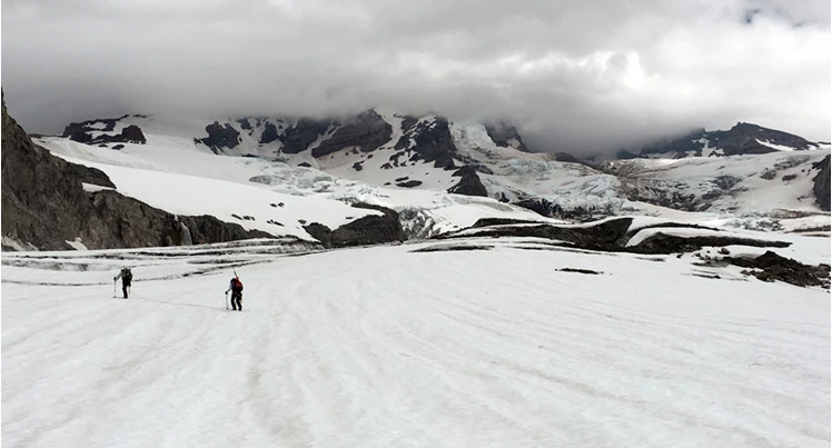
Glacier Surveys in Olympic National Park
by Future Park Leaders of Emerging Change intern Justin Pflug, University of Washington

The Olympic glaciers were outlined using airborne and satellite imagery to determine the extent of the glaciers following 2015. Digital Elevation Maps were also used to calculate the amount of water released and the change in glacial mass during the 2015 melt event. Multiple models are currently being used to quantify the daily glacier melt and downstream contribution.
Project results indicate that there was a loss in 36 glaciers and an 18% reduction in surface area from 2009 to 2015. The rate at which the glaciers are receding doubled in the 1980-2009 period and nearly quadrupled in the 2009-2015 period. Glaciers lost approximately 35 million m3 of water, or enough water to fill over 130,000 Olympic-sized swimming pools during the 2015 melt. The Olympic glaciers are highly sensitive and visitors, staff, and wildlife will see alterations in stream temperature, flows, and timing as climate change continues.