Last updated: April 18, 2023
Article
Glacier Monitoring in North Coast & Cascades Parks
The North Coast and Cascades Network currently contains 485 glaciers that are iconic features of the region, and vital components of the parks hydrology and ecosystems. Staff at North Cascades National Park began monitoring the park's glaciers in 1993, and focuses on the seasonal mass balance of four glaciers and the variation in the area of all park glaciers every 10 years. The North Cascades program was folded into the Inventory and Monitoring Program in 2001, and expanded to monitor glaciers at Mount Rainier National Park in 2003, and Olympic National Park in 2013.
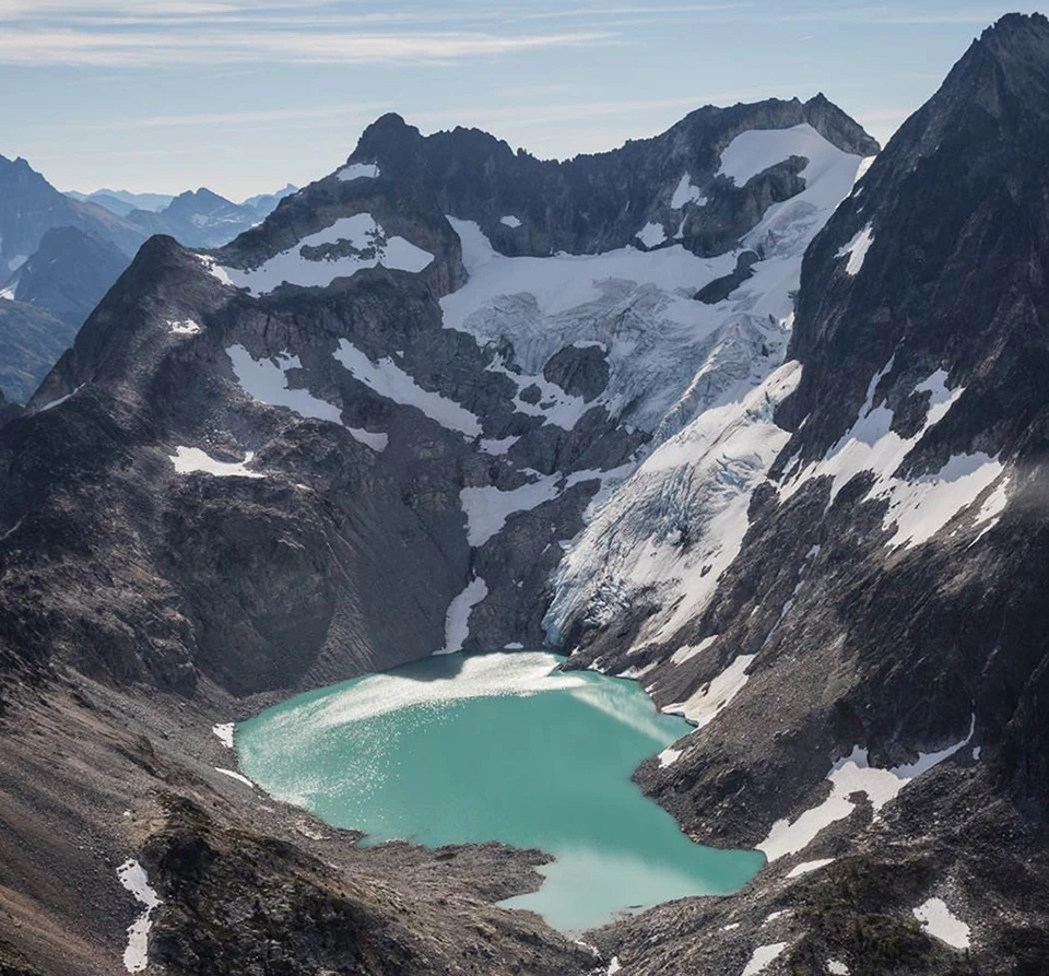
Banded Glacier
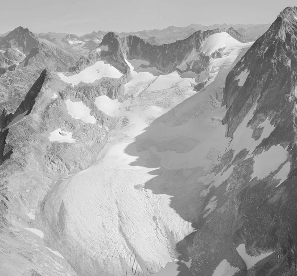
Left image
Banded Glacier in 1960.
Credit: Photo by Austin Post.
Right image
Banded Glacier in 2016.
Credit: Photo by John Scurlock.
Trends in glacier volume and area extent are strongly negative at all three parks, but between 1982 and 2015 the extent of glaciers at Olympic declined 43%, compared to 20% at North Cascades, and 14% at Mount Rainier over similar time periods. The loss of glaciers is having an impact on summer streamflow in the parks' rivers. Skagit River is the largest draining into Puget Sound, and drains 75% of North Cascades. A recent analysis using the glacier monitoring data indicates that the glacial contribution to summer stream flow on the Skagit has declined about 24% since 1959. The net loss of ice is equal to about three cubic kilometers of water, enough fresh water to supply all of Skagit County's needs for 100 years at the current rate of consumption.