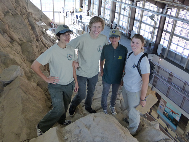
T. Boodhoo (GIP), E. Smith (GIP), M. Jimenez (MIS), and T. Stirling (GIP)

(NPS photo)
Elliott Smith (GIP), Marie Jimenez (Mosaics in Science intern), and Trinity Stirling (GIP) designed and built the Digital Quarry Project website and began populating it with information about the fossils found in the park's Carnegie Dinosaur Quarry, the site for which the park was created in 1915. The Digital Quarry Project is a multi-institutional, multi-disciplinary project that will put a vast amount of information on-line in a searchable format and allow people all over the world to explore the quarry and learn about its remarkable story. This was the second year of GIP involvement in this project. In 2014, GIPs took thousands of photographs of the fossils exposed on the quarry face and converted historic quarry maps to a digitized GIS compatible format. The photographs and quarry maps were used by the 2015 GIP interns to develop the website. The website will be formally launched in October 2015 as part of the park's centennial celebrations.
Learn About GIP Opportunities
For more than 20 years, the Geoscientists-in-the-Parks program has been placing talented college students and recent graduates in parks to gain on-the-ground work experience while completing important natural resource science projects for the National Park Service.
Part of a series of articles titled GIP Participants and Project Highlights [8 Articles].
Last updated: September 6, 2017
