Last updated: April 9, 2020
Article
Construction Monitoring at Forks of the Road

NPS
Natchez, Mississippi is most especially known for breathtaking bluff-top views of the Mississippi river and beautiful antebellum homes featured in the Spring and Fall Pilgrimage Tours. Some are familiar the 18th century French fort Rosalie or Jim Bowie and the 1827 Vidalia Sandbar fight that occurred just across the river. Not so often discussed is that the second largest slave market in the country was situated at the edge of this affluent mecca.
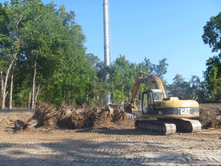
In July 2012, archeologists from the Southeast Archeological Center (SEAC) monitored construction of an affordable housing development to be located near the Forks of the Road in Natchez, Mississippi. The Forks of the Road is historically known as the second largest slave market in the Deep South (NPS 2009). United States Colored Troops established a camp there in 1863. Contraband barracks were also located at the site. Residents of Natchez voiced concerns that the proposed development might impact undiscovered archeological deposits related to the Forks of the Road. Based on historic descriptions of the massive scale of the market between 1833 and 1863, it is entirely possible that the project area is within what was once the spatial nexus of enslavement and exchange at Forks of the Road. However, no definite material evidence of an antebellum occupation at the site was identified.
If deposits associated with the Forks of the Road exist within the project area, it would appear that they have been impacted by later occupations and episodes of destruction associated with an early-mid 20th century house, mid-20th century tire shop, and recent junk yard. The city owns a small, grass-covered parcel presumed to have been part of the parade ground at the center of the market located only about 200 meters (m) southeast of the project area. There is a modest interpretive display at this location that discusses the role of the Forks in the slave trade and the civil war.
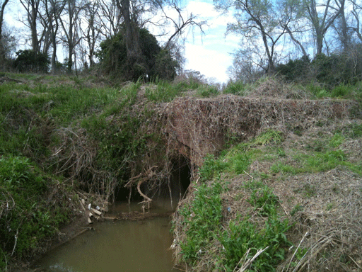
Interestingly, a brick bridge was identified east of the project area adjacent to D’Evereax Drive that is believed to have been part of Old Washington Road and the route by which enslaved peoples were brought to the Forks of the Road from the eastern states (NPS 2009). The developers agreed to not impact this area and the bridge, obscured by kudzu for most of the year, remains standing.

NPS
