What is the condition of back-country campsites in Glacier Bay?
Project Dates
May 2012 - December 2013
Did You Know?
The number of backcountry use nights in Glacier Bay peaked in 1997 at 6,600. Since then, backcountry use has dropped by more than onethird, to 3,790 in 2013.
Introduction

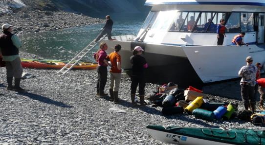
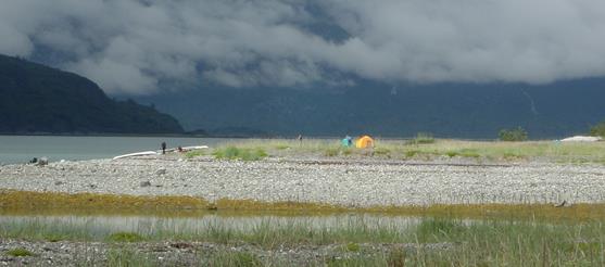
The majority of backcountry use in Glacier Bay National Park occurs along the shoreline within Glacier Bay proper. Backcountry visitors travel primarily by sea kayak and focus their activities in the same areas that are also prime foraging, nesting, and travel habitat for many wildlife species. Park planners need to understand the location and condition of campsites in relation to areas of critical resource concern and be able to assess trends in resource conditions and biophysical impacts that result from backcountry recreation. Park managers are also concerned with minimizing campsite degradation that can detract from a high-quality wilderness experience for visitors.
Campsite assessments have been conducted in Glacier Bay since the 1970s. Various methods were used; these have proved difficult to duplicate and resulted in significant variation among observers. This project was initiated in an effort to develop and test a campsite condition assessment protocol that yields consistent observations across observers and provides a rapid and accurate assessment of campsite locations, numbers, and impact parameters.
Key questions that will be answered by an ongoing program of campsite assessment and monitoring include:
- Where are the existing campsites in coastal areas of Glacier Bay?
- How are the number, location, and condition of campsites changing over time?
Methods

Project staff made a scoping trip to Glacier Bay in May and June 2012 to familiarize themselves with Glacier Bay resource issues. In consultation with park staff, and drawing upon established protocols from other areas, they compiled a comprehensive list of possible parameters that could be included in a revised campsite inventory protocol. Park and project staff visited several sites in the West Arm to field-test the draft protocols and evaluate them to determine their suitability.
The protocols were tested by a joint ranger/resource management crew known as the WILD crew in July and August 2012. A total of 265 campsites were found and assessed.
Future efforts may include conducting a “campaign-style” baseline inventory, ongoing documentation of restoration/custodial efforts, and revisiting the sites at 5-15 year intervals to monitor change.
Findings

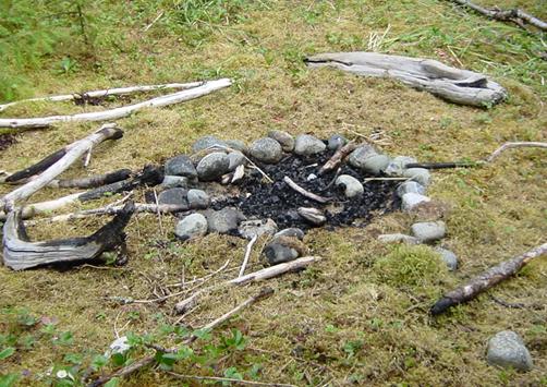
A draft final report including the final revised monitoring protocol was produced in May 2013. The new protocol calls for uniform assessment of several campsite conditions including fire sign, litter, human waste, structures (such as beach “furniture” erected out of found materials), tent rocks, and vegetation disturbance. Information on campsite attributes, such as vegetation type, nesting birds, and other sensitive species, is also collected.
The final report should be available by the end of 2013.
Last updated: September 15, 2016
