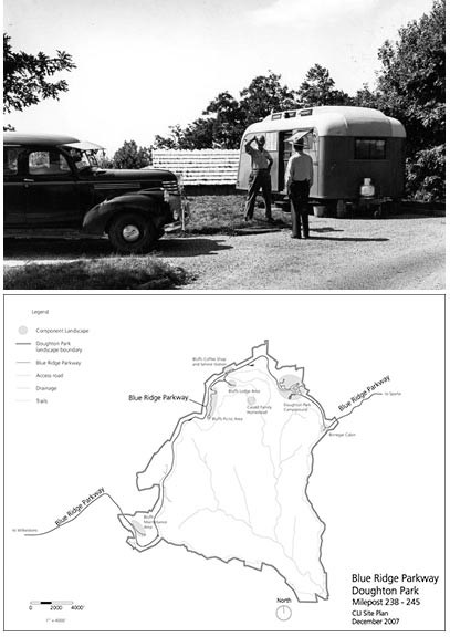
Photo by A. Rowe, NPS/BLRI archives negative #9503 (1946)
Blue Ridge Parkway stretches 469 miles from Virginia's Shenandoah National Park to Great Smoky Mountains National Park in western North Carolina. The parkway was planned with recreational and scenic opportunities for early motorists, and many of these original features continue to entice travelers.
Because designers of the Parkway wanted the road to provide a varied motoring experience, it does not keep solely to the ridge summits. The route connects a variety of landscape area, views, and cultural traces. It has been settled and altered by indigenous peoples and European settlers, and today most of the land is again covered by forest.
The landscapes of the Blue Ridge Parkway have experienced notable changes. Much of the land was degraded by farming and logging practices, and pests and other environmental factors have devastated the American Chestnut and other parts of the forest. Still, traces of past settlement patterns persist along the parkway. Remnants of apple orchards, old farm structures, canal locks, and the more recent roadway development features remain in varying states of preservation.
The Blue Ridge Parkway is classified as a cultural landscape. Within it, there are additional landscapes and component landscapes that help preserve the history of settlement and development in this region of the Appalachian Mountains.
Last updated: October 24, 2015
