Last updated: October 26, 2021
Article
Bizarre Maars
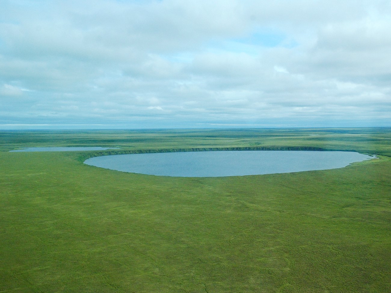
NPS Photo
Magma and ice seem like an unlikely pair. Yet when mixed together they create amazing formations.
Maars are shallow craters formed by phreatomagmatic explosions: interactions between magma and groundwater (in our case permafrost). As magma comes into close proximity with permafrost it creates steam, thus, increasing its volume and building pressure until it is released through a violent explosion. This eruption ejects rock, magma, and ash and creates a ring around the crater made of rock fragments and sediment ejected from the earth. Over time, maar craters often fill in with water and become lakes.
The four Espenberg Maars are located near the northern boundary of Bering Land Bridge National Preserve and are unique for their location and size. Not only are they the largest maar lakes in the world, but they are also the most northerly located volcanic features in North America created during the Ice Age. They include Devil Mountain Maar Lakes, Whitefish Maar Lake, and North and South Killeak Maar Lakes. All are oval-shaped except for the Devil Mountain Maar Lakes, which were created by multiple explosions during a complex eruption. The culprit for their unusual large size is the permafrost or permanently frozen ground.
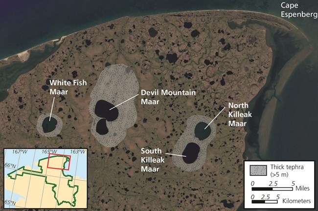
NPS graphic
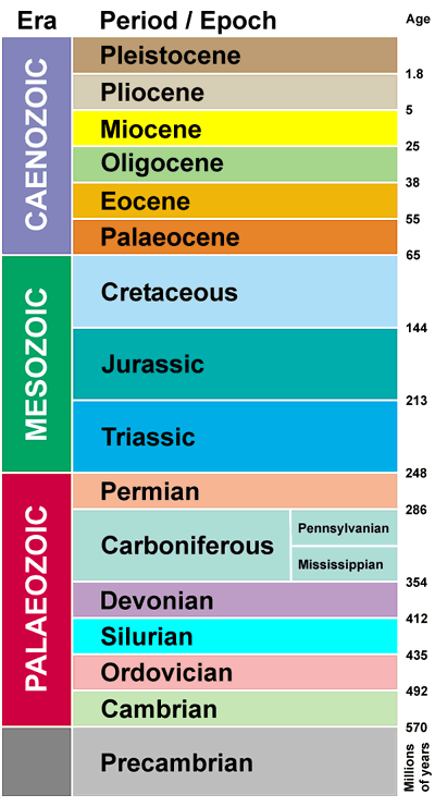
This is amazing stuff! An array of variously aged rocks lie at your feet in the tephra deposits around the maars. Maar formations are nature’s time capsule. They are coffers holding the secrets of Earth’s past.
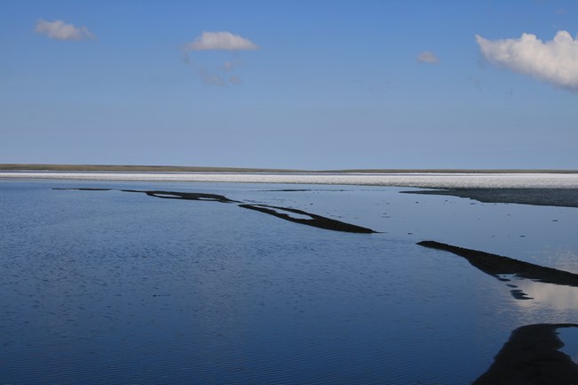
NPS photo - Jim Pfeiffenberger
Devil Mountain Maar Lake
Devil Mountain Maar Lake is formed by a northern and a southern crater, which are separated by a small spit. It is the youngest of all the Espenberg maars and formed about 17,500 years ago. It is nearly 5 miles long and 3.7 miles wide, and is 328 feet deep. When standing at the water’s edge, a 15-story bedrock cliff surrounds the Devil Mountain Maar. It may be truly hard to imagine the energy it took to create such a large depression.
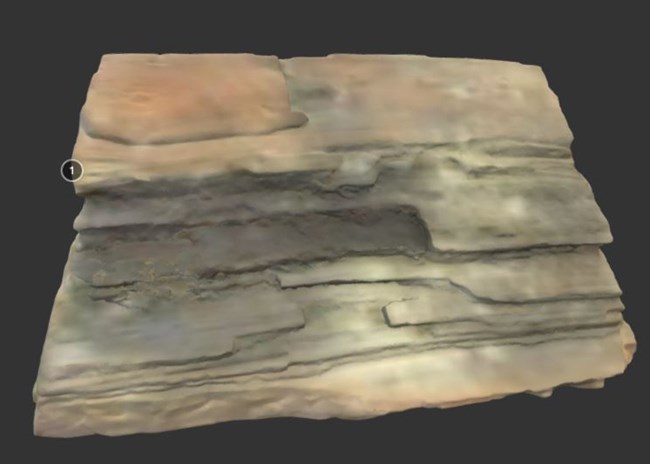
View a 3D model of the petrified piece of wood.
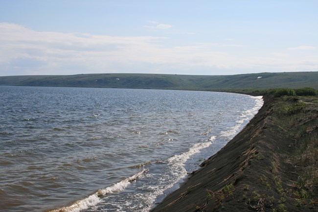
NPS Photo - Jim Pfeiffenberger
North and South Killeak Maar Lakes
South Killeak Maar is over 40,000 years old, is just over 3 miles long and has a depth of nearly 200 feet. Its counterpart North Killeak Maar is slightly older at 50,000 years old with a diameter of 2.5 miles and a depth of 80 feet.
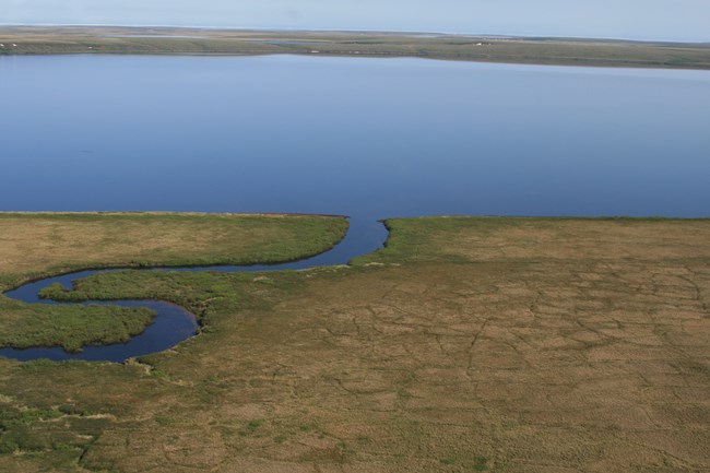
NPS Photo - Jim Pfeiffenberger
Whitefish Maar
Whitefish Maar is the oldest, estimated to be 100,000 – 200,000 years old. It is just over 2.5 miles long. Its depth has not been measured.
Bibliography
Hopkins, D. M. (1988). The Espenberg Maars: A record of explosive volcanic activity in the Devil Mountain – Cape Espenberg area, Seward Peninsula, Alaska. Bering Land Bridge National Preserve: An Archeological Survey Volume 1, 262-321.Beget, J. E., Hopkins, D. M., Charron, S. D. (1996). The Largest Known Maars on Earth, Seward Peninsula, Northwest Alaska. Arctic Volume 49(1), 62-69.
