Part of a series of articles titled Crystal Clear: A Call to Action.
Article
Crystal Clear: Baseline Water Quality Data for the Chulitna River

NPS Photo
Background
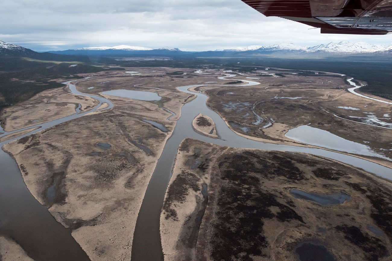
The Chulitna River drains 1,160 square miles of southwest Alaska and is part of the ecosystem that supports one of the largest intact salmon fisheries in the world. The lower 158 square miles of the river basin are within Lake Clark National Park and Preserve. In the upper 391 square miles of the basin, there are nearly 1,700 mining claims. There is also a proposed large-scale mining prospect in the basin west of the Chulitna Drainage. Fish species include northern pike, Arctic grayling and char, burbot, longnose suckers, humpback and round whitefish, least cisco, nine-spine stickleback, slimy sculpin, sockeye salmon, occasional Chinook salmon, and Dolly Varden—species that are important to subsistence users. The Chulitna River provides the only known spawning habitat for humpback whitefish and least cisco in the Lake Clark basin. Humpback whitefish are the second most important fish harvested by subsistence users in the region after salmon.Results
The USGS collected water-quality samples at various times throughout the year, including from under river ice at both a gaging site and four additional miscellaneous sites. Field staff measured discharge and water quality on site and sent samples to the USGS lab for additional analyses such as major ions, dissolved trace elements, nutrients, and suspended sediment. Field staff installed a water quality monitoring instrument at the USGS streamgage during the open-water season (late May to early September) in water years 2010 and 2011 to collect continuous dissolved oxygen, pH, specific conductance, turbidity, and water temperature data in 15-minute intervals. In October 2009 the USGS installed a water-level sensor at the streamgage to collect continuous stage data. They measured discharge over a range of flows to develop a stage/discharge relationship to compute daily discharge. The park will use these data to apply for instream flow reservations through the state of Alaska and to inform park responses to future mining permit applications and other resource management activities. The baseline information provided by this study will be used to measure the effects due to mining, shifting climate, and other changes in the basin.Last updated: November 7, 2018
