Part of a series of articles titled Photogrammetry Applications and Examples.
Article
Active Process Monitoring Example—Hickman Bridge Trail
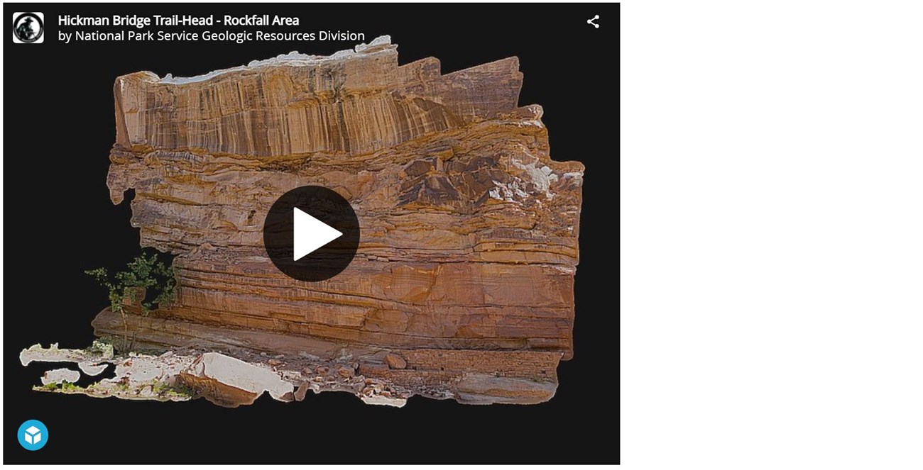
A large rockfall occurred in the pre-dawn hours of March 23, 2013 at the trail head of the Hickman Bridge trail. The trail is beneath a 28 meter (91 ft) overhanging cliff. This model is a proof of concept for remote analysis and study of a rock-fall supply area on a cliff face. This example is important because of overhanging nature of the cliff above the popular Hickman Bridge trail. This model provided accurate measures of the size and area of the rock face, as well as the volume of the collapse, but will also provide a baseline for future measure if any additional changes occur.
3D Hickman Bridge Trail
Capitol Reef National Park, Utah
A large rockfall occurred in the pre-dawn hours of March 23, 2013 at the trail head the Hickman Bridge trail inside of Capitol Reef National Park. The trail is beneath a 28 meter (91 ft) overhanging cliff. This model was used to calculate, the size and volume of rocks that fell.
Last updated: April 30, 2021

