Last updated: September 10, 2025
Article
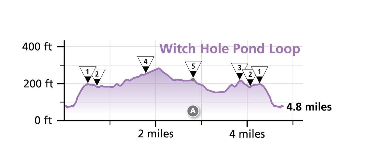
Witch Hole Pond Loop


Overview
Length: 4.7 miles
Traveling Intersection Numbers: 1-2-4-5-3-2-1
The Witch Hole Pond Loop crosses this carriage road bridge:
-
Duck Brook Bridge (A)
Experience and Expectations
Visitor Center Connector: The parking lot to #1 is very steep. Dismount from bikes.
The Witch Hole Pond Loop is a gentle route that passes by several ponds and a bridge with a small cascading waterfall. At intersection 2, there is a path to connect with the visitor center, though it is very steep and bikers must dismount.
On a manual bike, this loop is estimated to take around 20-30 minutes.
