Article
What's in a name?
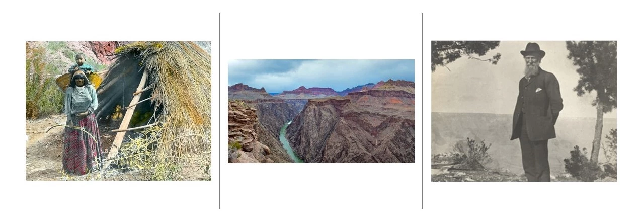
When John Muir looked out over Grand Canyon in 1902, he said, “As yet, few of the promontories or throng of mountain buildings in the canyon are named. Nor among such exuberance of forms are names to be thought of by the bewildered, hurried tourist. He would be as likely to think of names for waves in a storm.”

Today, nearly every point, peak, creek and canyon stretching away from the Colorado River below has been named and renamed. People have lived in and around Grand Canyon for 12,000 years, and some of the first names have been lost to time, but others have been passed down in the oral history of the tribes. As European Americans arrived, they quickly began labeling places in their native tongue, and these are the names that populated the maps, and were often given by the map makers themselves.
Clarence Dutton is known as Grand Canyon’s ‘poet geologist’ as he had a similar flair with the English language as Muir. However, his appreciation of language did not extend to the local dialects; he preferred to project names from world literature and religion on the terrain. His associate, Fredrick Dellenbaugh, disagreed, “I had several arguments with him on the subject as I object violently to Oriental and Egyptian nomenclature.” Still others feel the canyon is a natural wonder of the world so names from around the world are more fitting than local folk names.
In the end, the stories behind the location names help tell the story of Grand Canyon National Park. Here are some pictures of popular points, with some of their names. What would you call them?
