Last updated: August 15, 2023
Article
What Are Transects, and Why Are They Important for Monitoring Natural Resources?

NPS / Mackenzie Morris
By Mackenzie Morris, Plant Community Monitoring Technician
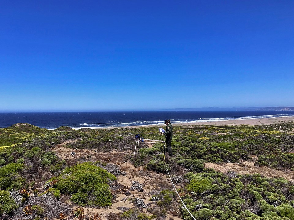
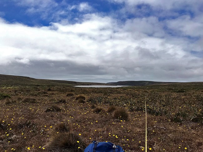
October 2021 - What are those long tape measures botanists and field technicians use, anyway? They are called transects. A transect is a straight line that cuts through a natural landscape so that standardized observations and measurements can be made. Imagine a long measuring tape running across a grassy meadow, through brush, and alongside trees. Our transects look like long, metered measuring tapes!
Transects are the building blocks of our field observations. They help us measure, make observations, and record data across all of our monitoring plots. Without them, it would be very difficult to represent the complexity of a natural environment in a way that can be tracked over time and compared to other areas.
For our monitoring plots, it is important to use transects to maintain consistency plot to plot. To ensure our observations are standardized, we orient our transects from the monumented center in three directions: 30, 150, and 270 degrees, and then measure out 15 meters. Once these long lines are weaved through the landscape we are ready to study the plant community. Our three radial transects (labeled A, B, and C) each receive the same attention.

NPS / Mackenzie Morris
Why is it important that the transect doubles as a measuring tape? This way, we are able to prescribe the same measurements to each transect at every plot. For example, one of our protocols is called Point Line Intercept, which is used to assess vegetation cover. We use the transect to determine where to drop pin flags. When the flag hits trees, shrubs and vines, we tally and identify the species. If it hits bare ground, herbaceous plants, or litter, we make note with our tally system. In this way the transect helps us maintain a standardized, randomized approach to sampling the plant life in a given area.
Alternatively, we use the measurements on the transect to tell us where to place our quadrat (a square sampling area selected at random). Once placed, we identify every species within the square to understand the relative species abundance.
So, the next time you pass us in the field and see several long tape measures spanning the landscape you will know the importance of a transect!
