Last updated: November 24, 2021
Article
Weathering and Erosion
NPS
Geology in Action
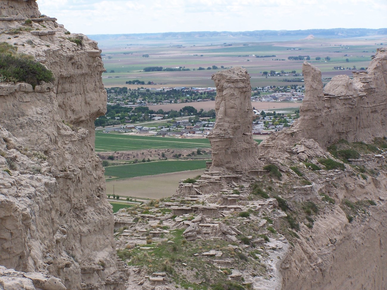
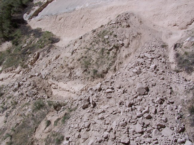
Believe it or not, Scotts Bluff National Monument is a geologically active area. Weathering and erosion are constantly at work, breaking down and removing the rocks that make up the spectacular bluffs of the monument. You may see the results of numerous rock slides, but rarely does anyone witness the events themselves. Less noticeable is the water erosion that occurs from rain and snow melt and the wind erosion that occurs nearly every day.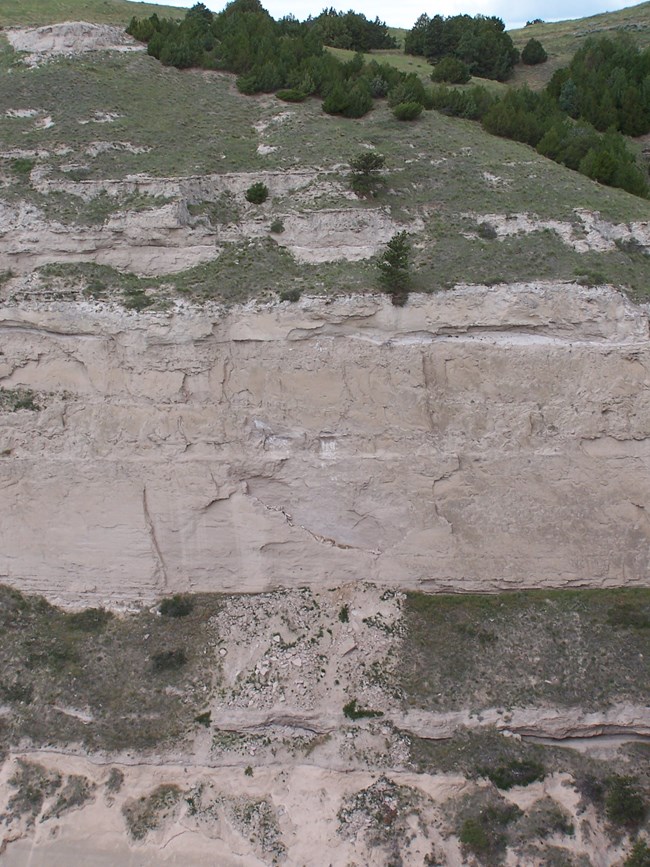
NPS
The Processes
To start, a familiarity with some of the terms is helpful.- Erosion is one that most everyone is familiar with. This is the removal of sediment such as sand, silt or gravel, by wind or water.
- Weathering is the breaking down of rock material by things like heating and cooling, frost or crystal wedging, or chemicals, like acid in rain. The products of weathering (sand, silt, gravel, rock fragments) are then removed by erosion.
There are two types of weathering: physical and chemical.
- Physical weathering is caused by heating and cooling, the growth of foreign crystals, and by the collision of rock pieces during movement.
- Chemical weathering occurs when a rock or mineral is changed after being exposed to things like acid or oxygen. Acid in rain can dissolve rocks like limestone, and oxygen can cause iron, often found in rocks, to corrode or rust.
NPS
Physical Weathering
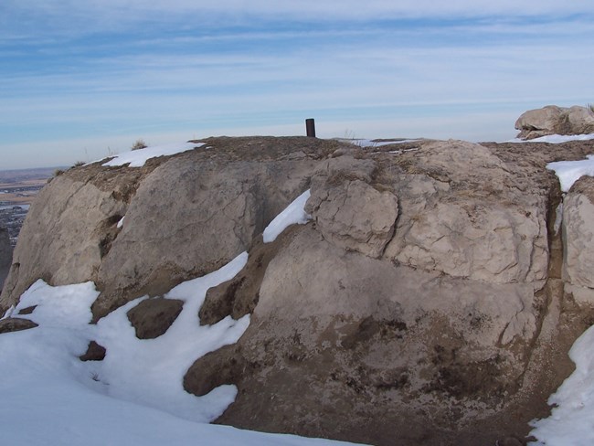
An important type of physical weathering that occurs at Scotts Bluff is the heating and cooling of the rocks. Each time a rock is heated by the sun, it expands. When a rock cools, it contracts. Over time, this repeated heating and cooling can cause rocks to develop cracks and eventually start to crumble. The rocks that make up Scotts Bluff experience a wide range of temperatures every year, from near or below zero degrees in winter, to near 100 degrees in summer.Growth of Foreign Crystals
Foreign crystals can be anything from minerals, like salts, to crystals of ice. The pressure created by growing crystals is enough to cause small cracks to from in rocks and can force small particles from the surface of rock. The rocks that make up Scotts Bluff are affected greatly by the formation of ice and salt crystals.Salt crystals form on the surface of the rocks of Scotts Bluff. These salts are calcium sulfate, sodium sulfate, and sodium chloride (similar to table salt). The salts, found within the rock layers themselves, are dissolved by rainwater or water seeping through pore spaces in the rock and carried to the rock surface as the water evaporates. As the water evaporates, the salts begin to crystallize and put pressure on cracks in the rock and on individual grains that make up the rock. The growth of salt crystals is a common occurance in dry climates such as that found here in western Nebraska.
Ice crystals form during the winter months in the sandstone beds of the bluffs. Sandstone is porous, allowing any water present to travel through it freely. Ice crystals pull water from nearby sandstone as they continue to grow, creating more and more pressure between any cracks and between individual sand grains.
NPS
Erosion
Erosion is the process that does the actual moving of the particles that are created by the different forms of weathering. Wind and moving water are the two most common agents of erosion. Both are prominent at Scotts Bluff National Monument. The particles formed as the rocks of the bluffs are broken down are clay, silt and fine sand.Wind is able to move silt particles easily and can transport them large distances. Wind is not able to move sand particles more than a few inches at a time as the grains roll along. Wind erosion removes material from one place, and forms dunes where the material is deposited. The sand hills of central Nebraska were formed in this way. Dunes can be a few inches to hundreds of feet in height.
Water in the form of runoff from summer storms or winter snow melt, and in the form of temporary and permanent streams and rivers, is the more effective agent of erosion in the Scotts Bluff area. Water can move all particle sizes found here, and can move them large distances. The badlands section of the monument is a great example of the amount of water erosion that occurs.
Changing Stream Beds
Flowing water creates channels as it erodes material and moves it downstream. These channels change constantly as the grade, or slope, of the channel changes, as the amount of water changes, and as the amount of sediment changes. To compensate for any of these changes, water channels adjust in width, depth, number of channels and number and length of meanders. As this happens, erosion occurs in certain areas, and deposition occurs in others, creating cut banks and sandbars along the channel.Young water channels are said to be generally straight and have fast-moving water with narrow valleys, young streams, boulders, gravel and coarse sand.
Mature channels usually have have numerous, long meanders, slower moving water, and broad, flat valleys. Mature streams can only move the smaller particles like fine sand, silt, and clay.
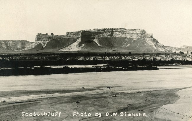
O.W. Simmons
