Last updated: January 26, 2021
Article
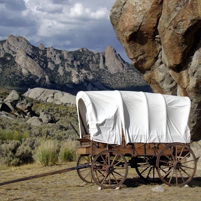
Visit to Hastings Cutoff 2020

Photo/NPS
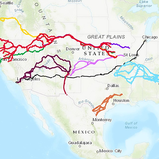
State chapters of the Oregon-California Trails Association often lead field trips along the trails. Recently, fall of 2020, the Crossroads Chapter of Utah led a group along the Hastings Cutoff -- the route followed by the Donner-Reed Party--west of Salt Lake City.
Photo/NPS

Photo/NPS
Today the Jordan River in the Salt Lake Valley is channelized, but in 1846 when the Donner-Reed Party passed through, it was a two-mile-wide corridor of channels and marshes. This is the location where they were able to find a way across the stream and through the wetlands.
Photo/NPS

Photo/NPS
Horseshoe Springs was a watering and camping area in Skull Valley for travelers on the Hastings Cutoff. Today the springs are managed by the Bureau of Land Management. Original wagon trace is still visible heading south from the springs toward Hope Wells.
Photo/NPS

Photo/NPS
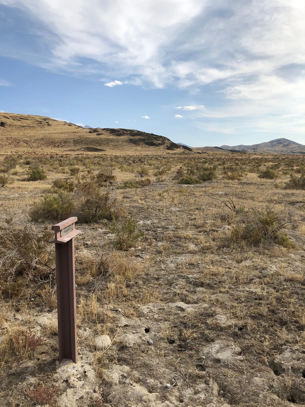
Here the scar of the Hastings Cutoff is approaching Hope Wells from Horseshoe Springs. This section of trail was later adopted as the route of the Lincoln Highway, the first automobile road across America (dedicated 1913).

Photo/NPS
This is Hope Wells, where the Donner-Reed Party found a note left for them by Lansford Hasting. The note had been torn up by birds, but the emigrants collected the scraps and pieced it together. It warned of the dangerous 8-mile crossing of the Great Salt Lake Desert ahead "2 days -- 2 nights -- hard driving -- cross-- desert -- reach water." There would be only one more waterhole--a muddy, salty seep called Redlum Springs that some oxen refused to drink from--until the emigrants reached the other side of the salt flats.