Last updated: September 11, 2025
Article
Signal Knob During the Civil War

Library of Congress
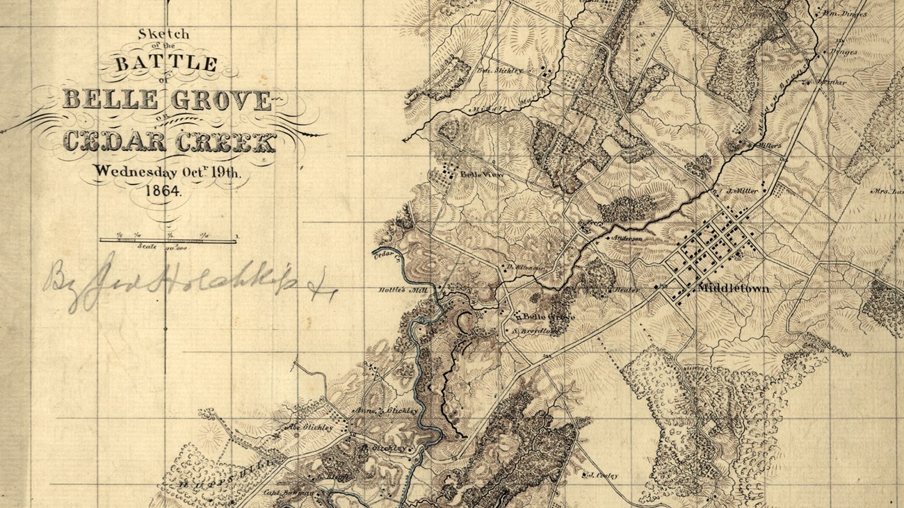
“Went to the end of three Top Mountain and examined the position of the enemy around Belle Grove with reference to an attack. I made a map of the position and General Gordon and myself fixed upon a plan of attack to suggest to General Early.”
—Jed Hotchkiss, Journal, October 17, 1864
On October 17, General Jubal Early sent John Gordon, Jed Hotchkiss, and others to Signal Knob in order to survey the Union positions along Cedar Creek. Upon reaching the top, they met an “inspiring panorama,” including a perfect view of the Union army below. Early knew that his smaller force had to know exactly where the Union weak points were, if they were to have any hope of success. Gordon devised a bold plan of crossing Cedar Creek and the North Fork in order to attack the Union positions from the side rather than head on. Early approved the plan and when the attack began on the morning of October 19, it worked brilliantly. By 10:30 a.m. the Union army was routed north of Middletown. This plan would not have been possible if not for the strategic significance of Signal Knob.

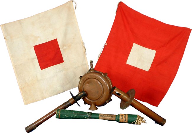
During the Civil War signal corps flags held in different positions and at different heights could relay all the letters of the alphabet. Using telescopes to read the flags, messages could be relayed over a number of miles.
