Last updated: October 22, 2020
Article
The Names of Canyonlands Scavenger Hunt
Devil's Kitchen, Ernie's County, Junction Butte, Canyonlands. Names can mean many different things and encompass fascinating stories, or just allude to where something is or what it looks like. Do this virtual ranger activity to explore the name of Canyonlands National Park!
It could help to look at some maps of Canyonlands for this activity.
It could help to look at some maps of Canyonlands for this activity.
NPS/Neal Herbert
The Island in the Sky
Question 1 - Which overlook is seen at the end of the paved road in The Island in the Sky?
Incorrect- This overlook is a small but beautiful overlook. Candlestick Tower, a tall and thin butte, that truly looks like a candlestick, stands separated from the rest of the canyon rim.
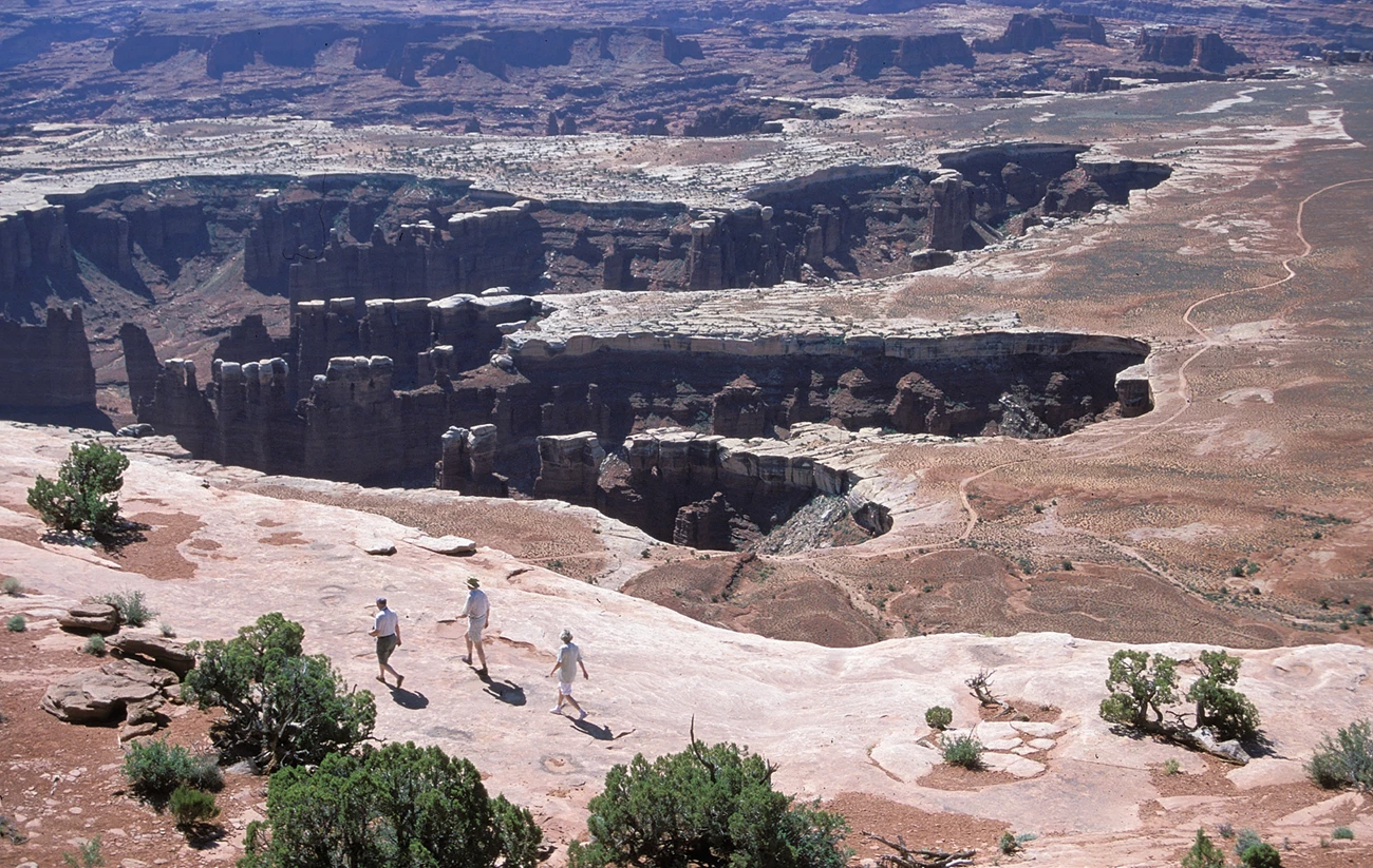
Correct- This overlook is aptly named, having a grand view above the heart of Canyonlands National Park and the surrounding area. The deep canyons of the Green and Colorado rivers disappear between the massive rock formations of The Needles and The Maze. It is easy to feel small here above everything but the mountains on the horizon.
Incorrect- This overlook looks down into the maw of Shafer Canyon. This steep and dramatic canyon was named after the Shafer family, ranchers who used the canyon as a route to move livestock back and forth from the mesa top to the inner canyons.
Incorrect- This overlook has the best view of a river from atop the Island in the Sky. Because of the lay of the land, views from the mesa top often look across the canyons of the Green and Colorado, which are deep enough that water is hard to see. At Green River Overlook, the Green River cut a large meander through the landscape, creating a wide enough canyon to be seen.
Question 2 - Which of these is not a backcountry campsite on the White Rim Road?
Incorrect. Potato Bottom has three backcountry campsites. The term "bottom" was used to name many flat and wide floodplain areas of the Colorado and Green Rivers within the park. Other "bottoms" include Anderson, Beaver, and Spanish Bottom.
Incorrect- The Airport area has four backcountry campsites. While there is not an airport here, the area is wide, flat and open enough that a plane could possibly land there, and the impressive Airport Tower butte stands over the area.
Correct- This area is in the frontcountry of the Island in the Sky, high up on the mesa top above most of the backcountry. Visitors driving the paved park road cruise through Gray's Pasture, often marveling at the rolling grasslands that the Gray family used to raise livestock here before Canyonlands National Park was created.
Incorrect- The Gooseberry area has two backcountry campsites. These campsites are named after the canyon that they sit at the head of, likely named after a berry producing shrub that grows within the canyon. Gooseberries are not native to the area however, but a close relative, the golden currant, is, so maybe there was a misidentification.
NPS/Scott Chandler
Question 3 - One could drive, bike or hike to the Colorado River by going down which canyon with a road?
Lathrop Canyon
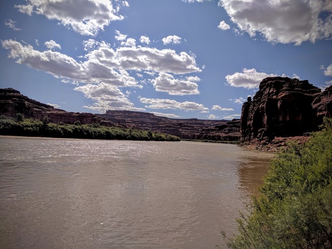
This canyon has the only vehicular access to the Colorado River within Canyonlands National Park. The Lathrop family grazed livestock in the area and were highly influential in sharing the area with those interested in establishing the park.
This canyon has the only vehicular access to the Colorado River within Canyonlands National Park. The Lathrop family grazed livestock in the area and were highly influential in sharing the area with those interested in establishing the park.
NPS/ Kirsten Kearse
The Needles
Question 4 - Hiking trails go through which of these canyons?
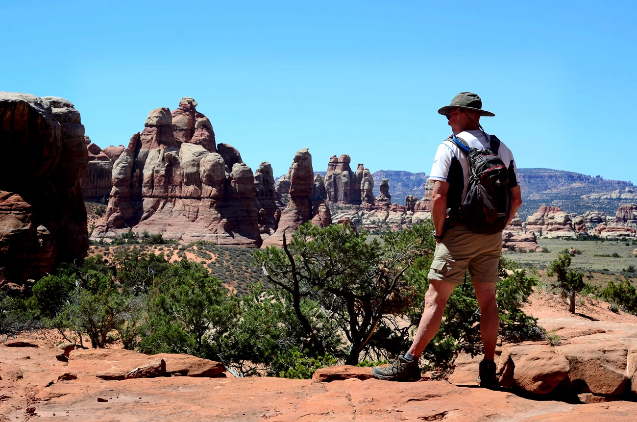
Correct. Lost Canyon likely gets its name from the seemingly endless amount of canyons that cut into the Needles area. Not only can a hiker easily feel lost, but it can be easy to get lost, so be sure to follow the trail carefully here!
Correct. Elephant gets its name from going by Elephant Hill, a rock formation that somewhat looks like an elephant to some people.
Incorrect. The term "park" in this case is referring to almost the opposite of a canyon. At Chesler Park, the Needles open up and seem to circle around a grassland area, yielding huge views outward.
Correct. Springs are not plentiful, so whenever one was found it was a big deal. In this instance, a canyon was named for the big springs that it had.
NPS/Kirsten Kearse
Question 5 - Which of these places can be driven to on a four-wheel-drive road?
Incorrect. This one is tricky. A four-wheel-drive road almost gets to this overlook, but about one mile (one and a half kilometers) of hiking is still needed to see the junction of the Green and Colorado Rivers.
Incorrect. No roads make it to the Colorado River in The Needles. A road does go to a beautiful overlook of the Colorado River, but it is still hundreds of feet below the canyon rim here.
Correct. This canyon was named after yet another rancher of the area, not the flowering plant. The road to get here is notoriously sandy.
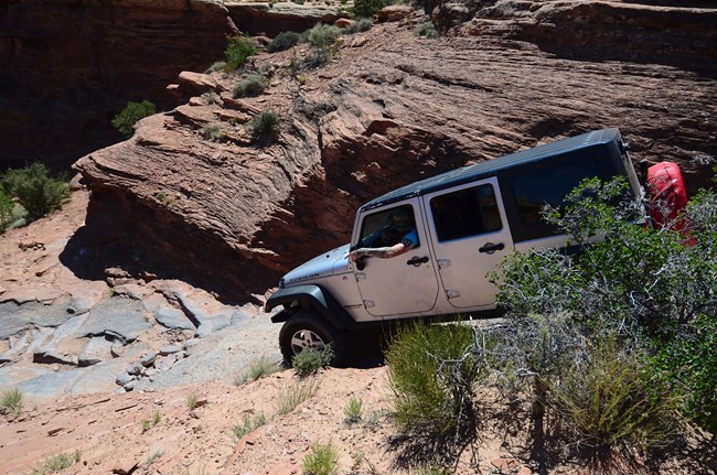
Correct. Those with a good four-wheel-drive vehicle that can make it over Elephant Hill eventually drive into the Devil's Kitchen. Spires of slickrock encircle the site and in the summer it can be blazingly hot, making it not only appear suitable for the devil, but also feel suitable.
Question 6 - Which of these trails are short and won't require more than a couple of hours to do?
Incorrect. While Angel Arch is a famous image of Canyonlands National Park, it is located deep in a remote canyon. Fast and hardy hikers may be able to visit this spot in a day, but it is better done as an overnight backpacking trip. The arch really does look like an angel.
Correct. This short trail goes to exactly as the words imply, a native american structure near the road. Sometimes there isn't a need to be creative.
Correct. This trail goes into an alcove that has a very reliable spring. People have used it for hundreds of years, with evidence of native Americans, ranchers, miners and modern humans seeking shelter and water here.
Correct. This trail circles a slickrock point covered in small natural basins that sometimes collect water after storms. Not only is this a great trail to admire The Needles, it is also a spot to witness the amazing lifeforms that call these places home until the water evaporates.
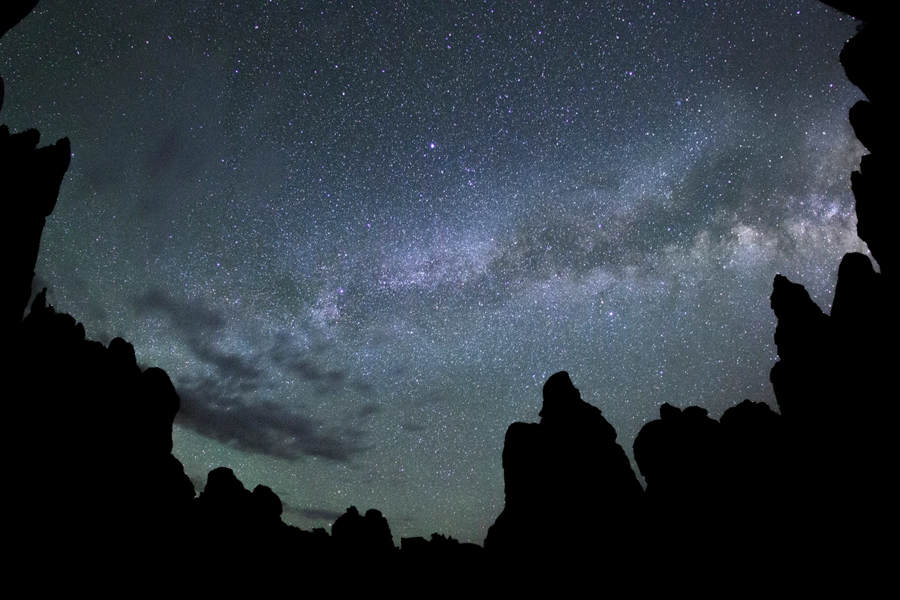
NPS/Kait Thomas
The Maze
Question 7 - Which of these areas is not located west of the Green and Colorado Rivers?
Incorrect. Named for the confusing network of difficult to traverse canyons, The Maze makes up most of the area west of the Green river within Canyonlands National Park.
Incorrect. This area is technically a part of the Glen Canyon National Recreation area but it must be travelled through to reach The Maze unless you get there by boat. It is named after the tall cliffs of orange Wingate Sandstone that extend north to south through the area.
Correct. This area is located in The Needles, southeast of the Green and Colorado rivers. Grabens are blocks of land that lie between two faults that drop downward relative to the blocks next to them, leaving long parallel canyons here.
Incorrect. This area is a detached unit of Canyonlands National Park located west of the Green River. It was added to Canyonlands to protect the archaeological sites found in the area. Horseshoe Canyon is likely named after the abandoned meander located near its confluence with the Green River or the ranching history in the area.
Question 8 - Lizard Rock, The Wall and Chimney Rock are all found in The Land of Standing ______?
Rocks. The erosion of the canyons of The Maze has left so many isolated towers of rock standing that it stands out to be named. Some of these rock formations can be seen from the other districts of Canyonlands with binoculars.
NPS/ Neal Herbert
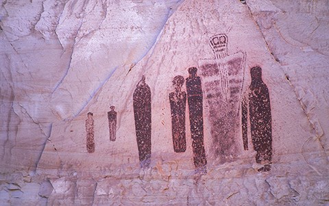
Question 9 - Horseshoe Canyon protects which prominent and important panel of pictographs?
The Great Gallery. This huge panel of pictographs dates back from 2000 BCE to 500 CE and is the defining panel for Barrier Canyon Style pictographs. Horseshoe Canyon used to be named Barrier Canyon because it blocked the travel of ranchers to the south.
NPS/ Scott Chandler and Neal Herbert
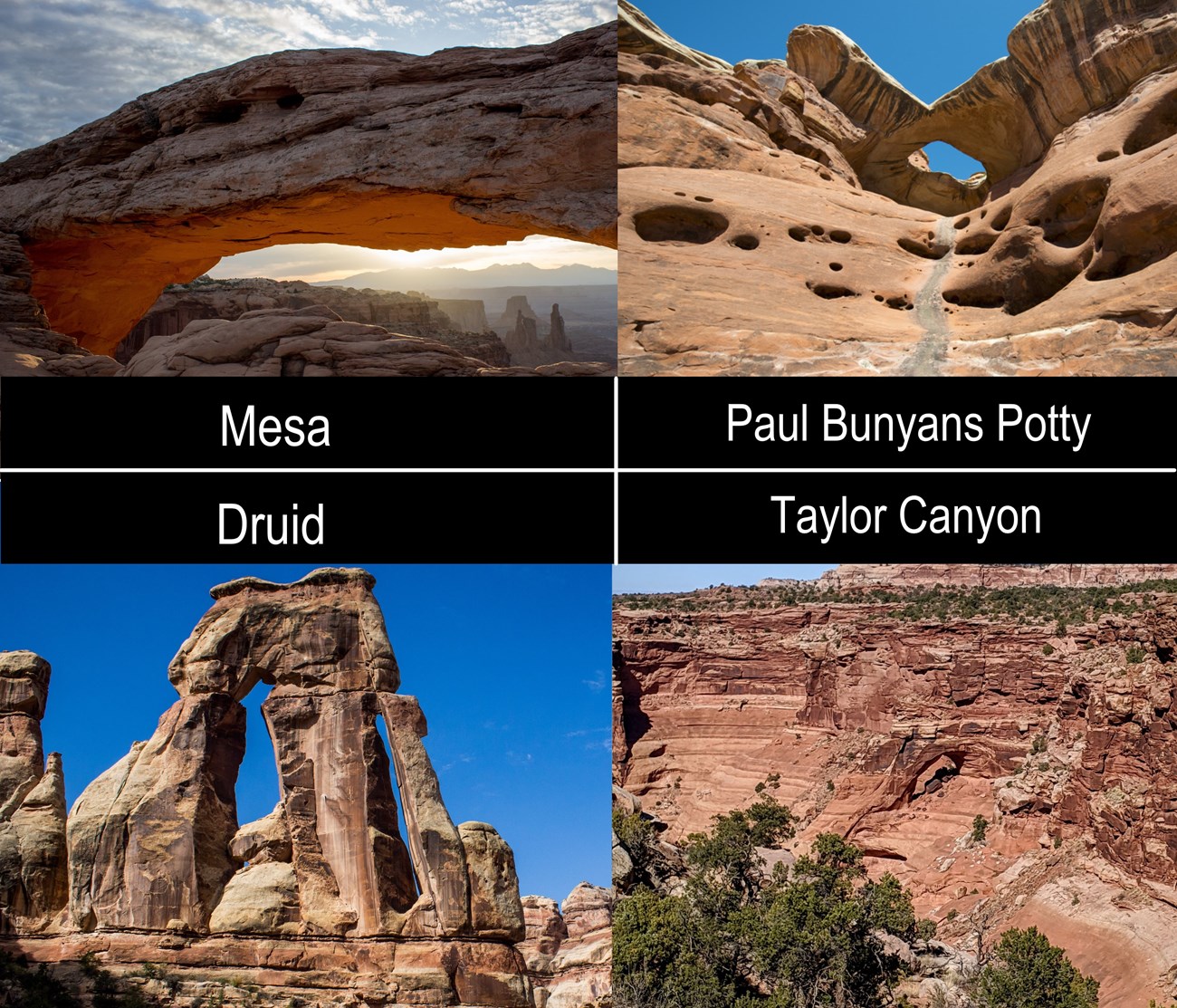
Arches of Canyonlands
Druid Arch.
Paul Bunyans Potty
Taylor Canyon's arch
NPS/ Emily Ogden
Bonus Question
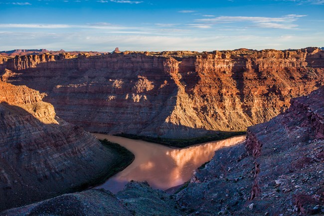
In which National Park Service site does the Colorado River start?
Incorrect. Historically, the name Colorado River used to start in Canyonlands, as the river upstream of the confluence with the Green River was known as the Grand River until 1921, and the river downstream was the Colorado.
Incorrect. This monument is named after the state that it welcomes visitors traveling from the west to.
Correct. The snowmelt of the Rocky Mountains fuels the Colorado River, and the national park named after that mountain range holds the official headwaters.
Incorrect. None of the water that originates in Yellowstone flows into the Colorado River. Some large and famous rivers flow through the park however, including the Yellowstone River and Snake River.
How did you do? Were you able to find all these places within Canyonlands National Park? While these places ere all named by someone who saw some significance in them, these places are also parts of many visitor's cherished memories. Have you ever thought about why the places you have visited have had the names they have? Have you ever personally named a spot that is important to you? We hope you enjoyed this virtual ranger activity.
