Last updated: December 1, 2023
Article
Precambrian Geology at Grand Portage National Monument

NPS photo / B. Clayton
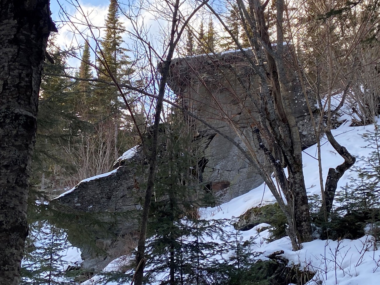
Middle Precambrian Rove Formation Mudrocks
1,850-1,750 Million YBP (years before present)
Sometime around 1.88 to 1.83 billion years ago a basin that now makes up part of central and northeastern Minnesota, as well as northern Wisconsin, and the Upper Penninsula of Michigan, began to form as a result of a massive collision of continental masses or “cratons” (the Superior and North Atlantic Cratons). The basin and the sediments that eventually filled it is known as the Animikie Basin and contains not only mud sediments, but iron-rich deposits that now make up the famous iron ranges around Lake Superior. Generally, the mud sediments are built up on the older iron-rich sediments.
During the collision process a mountain system known as the Penokean Orogeny was built up from the colliding land masses. Remnants of that range still exist in central Minnesota and on into Wisconsin and beyond. Over time, these highland areas eroded into sediment that were transported via river and stream systems into the basin. These sediments eventually built up until about 1.78 billion years ago, when the highland erosion was completed. Eventually these sediments formed into submerged layers of mud at the bottom of the basin and over the eons, formed into the layered rock you see in many places in the park, most notably, the Mount Rose Trail.
To give some perspective of the incomprehensible age of the Rove formation mudstones it is useful to compare them to the famous rock formations that make up the Grand Canyon. The Rove formation is comparable in age to the oldest rocks exposed in the bottom of the Canyon. Specifically, the comparable rocks at Grand Canyon National park are from the Elves Chasm Pluton (1.84 billion years old). These are the older rocks that make up the famous Vishnu Formation. The ECP rocks were created in a similar collision environment as the Penokean formation event.

NPS photo / M. Plummer-Steen
Late Precambrian Midcontinent Rift
1,109-1,000 Million YBP
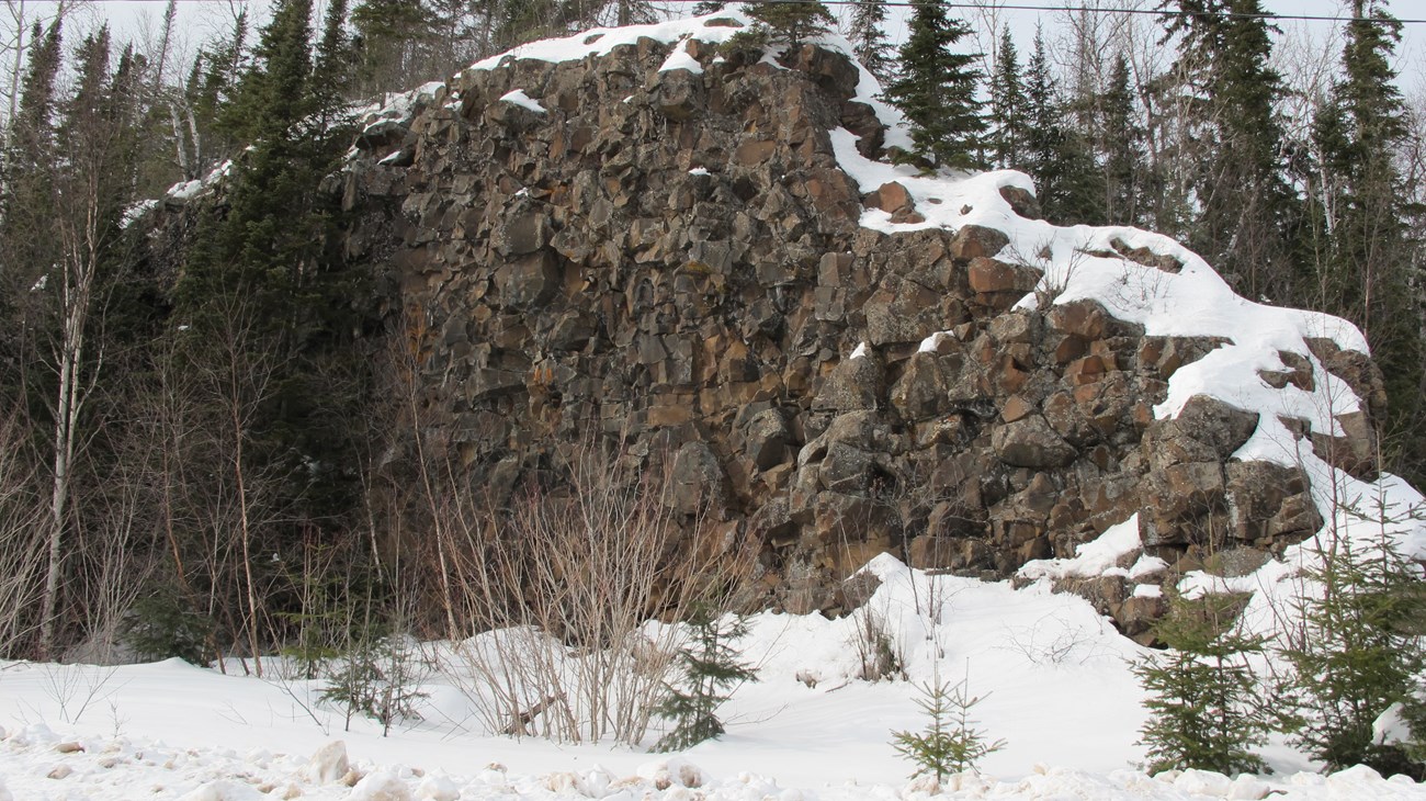
About 1,200 million years ago, fragments of continental crust pushed together by tectonic motion began to assemble the giant continent of Rodinia. Only 109 million years after forming, Rodinia began to break apart along a giant rupture that cut through northeastern Minnesota all the way to Kansas, the legendary Midcontinent Rift. A mantle plume or "hot spot" caused molten magma to rise into vertical cracks in the older graywacke and shale of the Rove Formation. The magma cooled in the cracks into a hard, tough rock known as diabase, the fillings are known as dikes. Diabase is Greek for "crossing over" as a chemically similar middle rock representing a change between coarser, deeper cooled gabbro rock and instantaneously cooled basalt lava at the surface. Diabase, thus, represents direct feeders for surface lava flows. The linear hills in Grand Portage, suggest that basalt lava flowed onto the surface through long fissures. Modern fissure eruptions are observed in Iceland, a "hot spot" on the Mid-Atlantic ridge where North America has been rifting from Europe for about 280 million years from the break-up of the most recent supercontinent Pangaea.
Diabase dikes record two episodes of magma influx along the rupture in Rodinia. An older set of 50 small, low dikes 10-20 feet wide known as the Grand Portage dike swarm and a more massive younger set of at least 14 dikes referred to as the Pigeon River dike swarm. Pigeon River dikes are the youngest rocks in Grand Portage. Smaller Grand Portage dikes can be seen east and west of the Heritage Center. High hills in Grand Portage contain cores of large Pigeon River dikes which support Mounts Josephine, Rose, Maude, and Sophie. The highest waterfalls in Minnesota flow over the Wauswaugoning Bay-Pigeon River dike at Grand Portage State Park. Age dating matches Pigeon River diabases to the Lutsen basalts suggesting the diabase feeders may have produced lavas 50 miles west of Grand Portage.
