Last updated: April 7, 2025
Article
Podcast 004: National Park Service Geophysics Training at Los Adaes
National Park Service
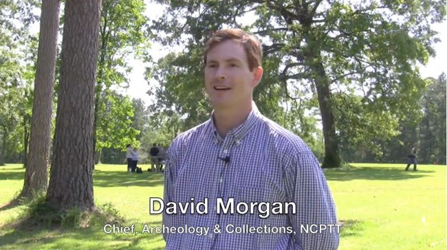
David Morgan
I’m David Morgan, and I am the chief of archeology and collections at the National Center for Preservation, Technology and Training. And we are out here at the state historic site Los Adaes, which is a late 18th century colonial fort and mission where Steve De Vore from the Midwest Archeological Center from the National Park Service is hosting his 19th annual course on geophysics. And what we are doing is using a variety of instruments that rely on principles of geology and physics to try and locate archeology features without having to disturb the earth.
Steve has assembled about 10 different instructors and about 18-20 different participants here that we are hosting for classroom opportunities at the National Center and then we are using Los Adaes as a field-training site out here. And it ranges from everything to power parachutes flying thermal cameras to ground penetrating radar, electrical resistively, conductivity, magnetism. We are essentially using all the things we can borrow from earth sciences to image things below the ground without actually having to dig.
National Park Service
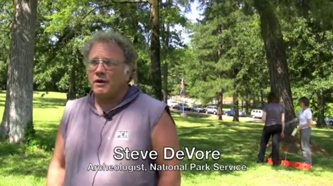
Steven De Vore
I’m Steven De Vore. I am an archaeologist with the National Park Services Midwest Archaeological Center. This is part of a workshop that we have been putting on archaeological perception using a variety of different kinds of geophysical tools and other types of remote sensing to have an idea what is under the ground prior to doing excavations or in lieu of doing excavations.
In the long run getting the information out to people that these things, that we can cover a substantial area. I can do with some of the magnetometers; you can cover 6 to 10 acres a day. If you go with just a shovel testing with just a group of three, which would basically, what a geophysical crew would amount to. I don’t think you could shovel test that much area in one day
and be able to deal with all the material you would be coming up with. In fact, I am almost certain you can’t.
In excavations, in order to excavate you are removing materials from the ground. If you don’t take good documentation on what you are doing then you are going to lose that information. With the geophysical information, we aren’t removing anything from the ground. We are just looking at what’s buried in the ground, looking at the physical properties that they represent. Now sometimes the interpretation may get we may have problems with that. It may not be quite what we thought it was. But then again, the data is there and people can look at it and they can come to their own conclusions.
It is fairly cost effective. You can cover large areas in a short time. You can process it. You can have it available overnight, next day you can come out in the field and have it all in one map so you can see what is going on, you can actually then ground truth it, check spots, see what those things are. What those anomalies are, see what the other features are. And it helps to further interpret the site.

National Park Service
Rinita Dalan
I’m Rinita Dalan and I work at University Minnesota Moorhead in Moorhead, Minnesota. Hopefully if we have some nice anomalies that the surface surveys are finding then we will put the down-hole in for some of those anomalies and get some information on a vertical event you know, where do they start and where do they stop and we wont have that information from the surface surveys. We will get some information on if there is layering within them. If we put some down-holes close together maybe we can get some horizontal extent in. We can say something about the strength of that anomaly and then compare it to some across the site or maybe at some other sites.
So we can have a signature for something to look for. We can even model what maybe what a magnetometer would expect to see. So we could get a lot of information that could help us interpret those other surface surveys. We often see layering in archaeological sites, cultural layers, house floors, occupation layers. We see layers in soils at different horizons. As it turns out this property is very sensitive to a lot of environmental variables like climate and time, people how they affect the soil. And so there is a potential to learn about those things by studying this property. So ya. When we look underground it hardly ever is homogeneous. It would be a pretty easy problem for geophysics if it was. It often is layered and so it is good to know that to know how it affects other methods. And to just learn about that. Archeologists are all about stratigraphy.
That is what we record. We want to know that layering.
National Park Service
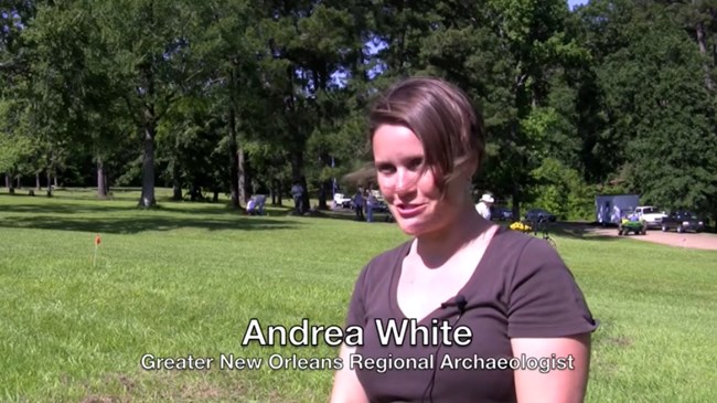
Andrea White
I’m Andrea White and I am the Greater New Orleans Regional Archaeologist and so I am affiliated with the University of New Orleans and also the division of archaeology regional program. I chose to come to the seminar because working in an urban environment; I wanted to see what types of options I had with remote sensing equipment. What types of options I had that had deep deposits and very complicated deposits, multicomponent sites and so I wanted to see what options I had in terms of the different types of equipment, but you never know where you might end up in the future so it is always good to have an interest and knowledge with these types of things so you will know how to talk to people who you might hire to do these types of things.
What I like about here what I think is really cool it is almost like an exhibition except it is at a really cool archeological site. So we can go around to all the different venders and remote sensing operators and talk to them about their equipment, what are the price ranges of some of the equipment, what they do, what sites they are good at, what sites they might not be so good at and you get to see and actually use some of the equipment. So I think that is kind of neat. To see how things would work and see how functional it is like in a real live field setting. So far I have found the ground penetrating radar to be pretty useful. It can give you time slices or depth slices where you can actually see the different deposits. So I think that is kind of neat and might be something that is applicable to the type of environment I work with as an archeologist. Well, I think in addition to learning the different remote sensing technology, you also get to meet a lot of different people, and I think that is a plus. You get to make connections and I think that is a benefit as well. It also makes it more fun too.
National Park Service
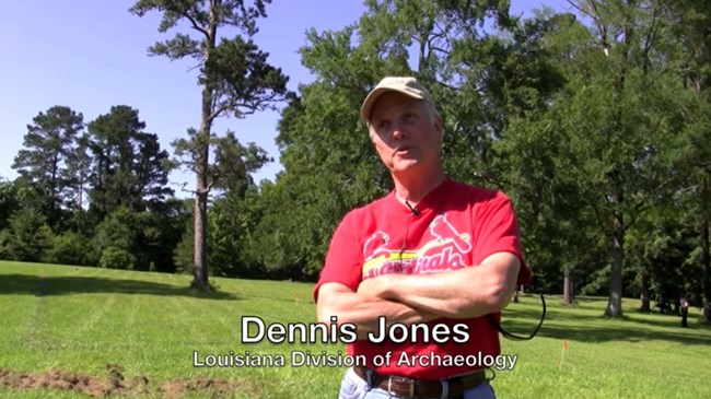
Dennis Jones
My name is Dennis Jones and I work with the Louisiana Division of Archaeology which is part of the department of culture, recreation and tourism.
The work that I do with the Division of Archaeology.
There is a lot of research that goes on in advance of development it is called contract archaeology and it is required by federal and state law.
And increasingly use of remote sensing and geophysical techniques are important for archaeological sites or in planning out to study preserving archaeological sites.
And I needed to familiarize myself with these various techniques and technologies so when I encounter them with people doing them I’ll understand how they are doing them and if they are doing them correctly and sufficiently.
National Park Service
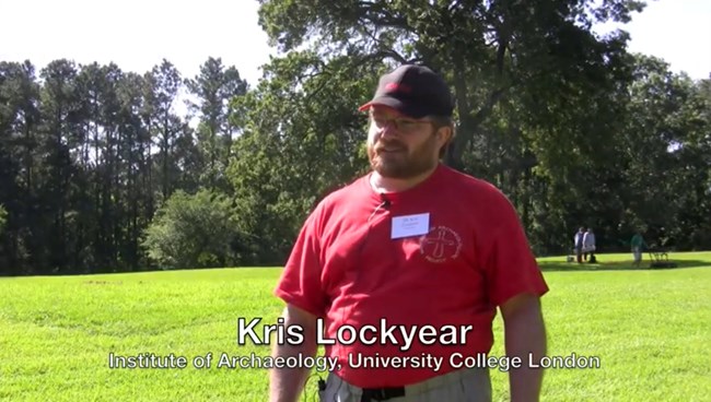
Kris Lockyear
My name is Kris Lockyear and I am a lecturer of Archaeology at the Institute of Archaeology University College London. I came on the course as a student five years ago and enjoyed it so much I persuaded them to invite me back as an instructor and I come back every year since. So it’s a bit of a busman’s holiday, but it is good fun.
I teach resistance survey which is a method that works by passing an electric current through the soil and measuring variance in the resistance of that electric current which you can then plant on a map to give you plans of walls and ditches and so on. That is the technique I mainly use on my site.
But they should have a really good feel for the variety of different techniques available. Their strengths and weaknesses. When you would use them. How much they cost. Realistic appreciation of what they are going to get out of it.
The downside of programs like CSI is you get this picture of a skeleton in the GPR data. The GPR data never actually looks like that. It is completely sort of false.
So a realistic appreciation of what the techniques can do.
The sorts of situations when you can use them and that sort of thing. And then to know enough of one technique or commission someone else to do it and be able to talk the same language as a specialist so they get the right technique for the right assignment.
I get to see lots of bits of technology that I wouldn’t normally get to see in my daily rounds of things. I have never been anywhere with so much kitty in one place before.
Because people bring their latest equipment I get to see the newest models and things. It is a really easy way of me keeping up with developments in the field. The other big thing I get is to be able to meet with other like-minded archeologists and get to talk them about problems and issues.
Get to show them things I have been doing and them show me things they have been doing. And just the fun of doing it actually. I quite enjoy this week.
Read other Preservation Technology Podcast articles or learn more about the National Center for Preservation Technology and Training.
