Last updated: July 15, 2024
Article
Hydrology at Palo Alto Battlefield

NPS photo
Park Hydrology
Palo Alto Battlefield is located within the Rio Grande Delta. It is a landscape characterized by low ridges and shortened meanders of former channels of the Rio Grande. These meanders, called resacas, once functioned as part of a vast distributary network during times of flood.
These seasonal waterways historically flowed with enough energy to maintain flow channels and transport sediment. However, levees, ditches, and the Brownsville Ship Channel now separate them from the Rio Grande. Furthermore, large dams upstream on the Rio Grande lessen floods that historically carved new channels, thus creating new resacas.
The resacas of the Lower Rio Grande Valley now act as static water storage structures. In the case of the larger features, the City of Brownsville uses them to transfer irrigation waters, capture storm water runoff, and provide an aesthetic backdrop throughout the city. In summary, the resacas at Palo Alto Battlefield and the lower Rio Grande Delta are remnants of a river system completely removed from its natural function.
Within the 3,400-acre Palo Alto Battlefield Unit are several resaca remnants. Although they do bear the marks of several livestock tanks and associated feeder ditches excavated within the resaca beds during the twentieth century, these resacas are relatively untouched. These features are generally dry, although they do retain water after heavy rains. In contrast, the 34-acre Resaca de la Palma Battlefield Unit lies within a resaca meander the City of Brownsville maintains as an active waterway.

NPS photo
Monitoring at Palo Alto Battlefield
GULN Hydrologist, Joe Meiman, made several trips to Palo Alto Battlefield to determine the need and feasibility of establishing a surface water quality monitoring program in the park’s resacas. The first monitoring effort focused on an attempt to sample the resacas after a large rainfall. Samples were taken as the water level dropped in the weeks following the rain. After a series of samples it became apparent the variability in all parameters was too great to be able to detect change over time — thus of little use to the park.
A second effort focused on groundwater instead. A quick survey of existing wells showed the larger, deeper wells contain perennial water while the shallow wells are typically dry throughout most of the year.
The Millennium Engineers Group drilled a series of deep wells. The wells were drilled through the surficial clay confining layer and into a sand aquifer, approximately three meters below the surface. At the time of drilling, water was reported in two of the ten wells drilled.
Measurements made during the October 2010 site visit showed the deeper water is saline. In other words, there are deep wells with water that impacts the surface resources very little and shallow wells with no water. Groundwater monitoring would provide the park with no useful long-term data — although it may be used if the park is interested in properly abandoning (plugging) the wells.

NPS photo
Monitoring Proposal
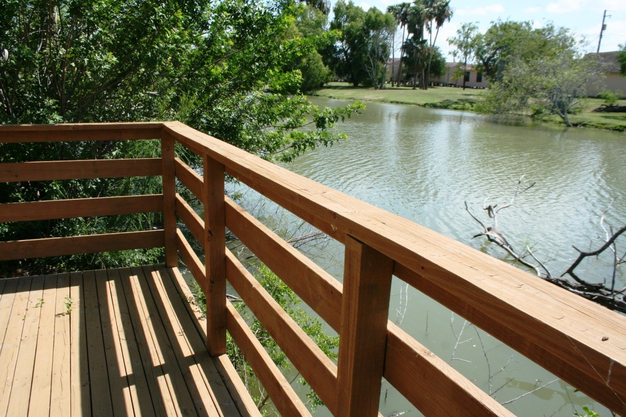
There is no perennial surface or natural near-surface groundwater at Palo Alto Battlefield. However, water borders large parts of the park’s Resaca de la Palma Unit. The City of Brownsville owns and manages the actual water that borders the park, but the feature does serve as an important aesthetic cultural backdrop to the park.
In 2015 the University of Texas Rio Grande Valley (UTRGV) initiated a three-year project designed to monitor the quality of the resaca ecosystem. It also aimed to measure the results of the city's ongoing effort to dredge the resacas. This partner-driven project, called Resaca Rangers, enlisted teachers and students from various schools to collect the data. This innovative project provided local students with real-world science experience and an opportunity to connect to their natural environment.
The most practical long-term monitoring opportunity may lie in a partnership between the park and UTRGV. An agreement would stipulate the use of the GULN Water Quality Monitoring Protocol and SOP and the sharing of data. Such an agreement would give practical field experience to students and give the park a natural resource presence at the Resaca de la Palma unit. The GULN would provide technical information towards the development of the agreement with UTRGV and continue providing technical support to Palo Alto Battlefield regarding hydrological issues.
