Part of a series of articles titled Lewis and Clark Trail 2022 Annual Report.
Article
New life for interpretive signage

Oregon Chapter of Lewis and Clark Trail Heritage Foundation.
About this article: This article was originally published in the Lewis and Clark National Historic Trail 2022 Annual Report.
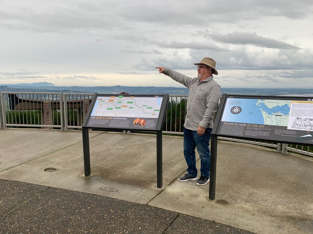
This year, the Lewis and Clark Trail Heritage Foundation Oregon Chapter completed a multi-year effort to replace 21 worn and out-dated signs. A true team effort, the project received funding from the Bicentennial Sign Replacements Grant Fund and the Lewis and Clark Trail Stewardship Endowment. Lewis and Clark National Historic Trail provided printing assistance and supplied expedition map panels. Ted Kaye, who oversaw the original sign project in 1999, worked with Oregon Chapter Secretary Mark Johnson (right) to develop the funding plan. Johnson then organized a team to identify errors and culturally insensitive content on the old panels. He also coordinated reviews with the Tribes and government stakeholders. After several rounds of text and illustration revisions, the panels were fabricated and installed.
This project was funded in part by the Lewis and Clark Trail Heritage Foundation from the Lewis and Clark Trail Stewardship Endowment: A National Council of the Lewis and Clark Expedition Bicentennial Legacy Project.
Last updated: March 21, 2025
