Last updated: August 26, 2022
Article
An aspiring geologist gains a well-grounded skill set from the Geoscientists-in-the-Parks (GIP) internship program

NPS
Jin-Si Over was destined to have a love for geology from day one. For decades her father, a geologist/paleontologist, has spread his interest of the subject not only to the students he teaches at a university, but his daughter as well. Over grew up in the Finger Lakes of upstate New York - far from the ocean that would soon become her second love. While on a family trip to the beach when she was five years old, Over recalls digging her toes into the sand and feeling that she never wanted to live away from it again.
Focused on her interests, Over pursued a major in Geology and a minor in Oceanography at University of North Carolina. After graduating in 2016, she moved across the continent to the University of Victoria in British Columbia to work on a master’s degree in Earth & Ocean Sciences. Upon graduating in 2019, Over had gained an extensive background in microfossil paleo-ecology and quaternary paleoclimatology.
Finding a career job wasn’t of immediate urgency to Over at this point – she wanted to learn more. She discovered the Geoscientists-in-the-Parks (GIP) Program! The GIP program provides aspiring natural resource scientists and geoscientists with paid short-term internships where the interns contribute to all forms of natural resource monitoring, research, and science communication. The National Park Service (NPS) has partnered with Stewards Individual Placement Program (Stewards) to administer the GIP Program since 2016. The internship Over wanted to pursue was as geomorphology assistant with an added bonus: a coastal one! Over explains “this internship was amazing to see posted because it satisfied every part of what I wanted to study and had experience in other than actual surveying.” And with that she headed back across the country to work for the NPS Northeast Coastal and Barrier Network while stationed at Gateway National Recreation Area in coastal New Jersey in the spring of 2019.

NPS
After moving into park housing at Gateway’s Sandy Hook Unit, Over began working with the Sandy Hook Cooperative Research Program, led by Dr. Norbert Psuty of Rutgers University. Psuty’s team is tasked with conducting coastal topography monitoring research for the Northeast Coastal and Barrier Network’s Inventory & Monitoring Program, including gathering and processing field data, and creating maps and tables of coastal geomorphological metrics, such as shoreline and dune change. Developing these metrics of coastal change is important in order to advise park management of impending impacts to natural and cultural resources. Over quickly witnessed this importance the day she arrived at Sandy Hook. Living in upstate New York, she was generally unaffected when Superstorm Sandy made landfall in the park she was currently living and working in. Over explains “living in a building refurbished from post-Sandy, working in a building and next to buildings with visible effects of the storm damage, and seeing the widespread and lingering effects of a storm that happened so many years ago is surreal… it has given me a better connection to why we are doing this work.”

NPS
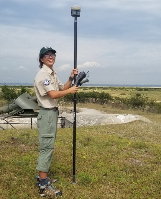
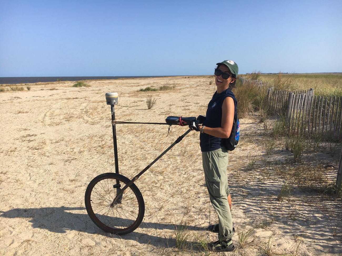
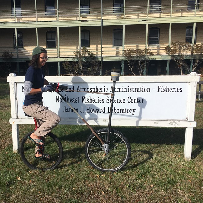
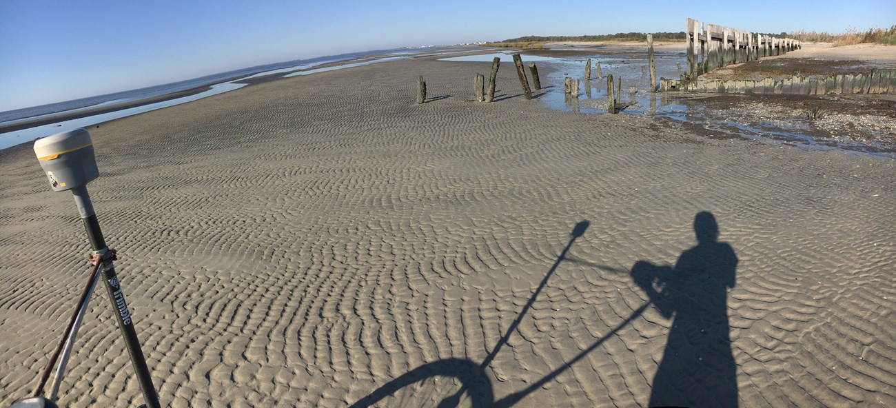
Over speaks highly of her co-workers who had been easy to work with, always willing to help, and ultimately provided her with a much broader understanding of the research they conduct. “It’s a group that makes you feel like you are a contributor and not just a desk jockey” says Over. Through her mentors, she gained a whole new skill set during the internship. Besides learning to use various geospatial RTK surveying equipment to collect and process shoreline position, coastal geomorphology and topographical change data in NCBN parks, she was introduced to Python programming language, report writing, and summarizing data collected for a government agency. She feels that learning a variety of GIS skills while being a GIP intern is adventageous when searching for a career.
Although Paleontology has always been a career goal, she realizes that the relevance of research in that field is less applicable to current stressors on the world – like sea-level rise, climate change and the potential increase of stronger storms affecting the coast. Over states: “It is really important to have base data (or data that supports recovery, resilience, or failure to do those things) as hurricanes come and go so we can make present day and future management decisions with the best scientific data to back them up.”

Over/NPS
She declares that her favorite part of the GIP internship was participating in the whole process. From the office looking at aerial imagery and making final products in the medium of figures and numbers, to standing on the beach and dunes and seeing in a different way while having to physically collect the data – “It’s so cool” she says. “To actually have the “long unsupervised walks on the beach” as was described in the job posting was great. When we walked the 1D shoreline of Sandy Hook it was minutes after sunrise on a beautiful day, and I did my job in bare feet.” The GIP internship solidified something that never occurred to her beforehand. Over could actually work with the National Park Service doing what she has always wanted to do as a career – a geologist with her toes in the sand.
