Part of a series of articles titled Lewis and Clark Trail 2022 Annual Report.
Article
Natural resource documentation of the Lewis and Clark National Historic Trail

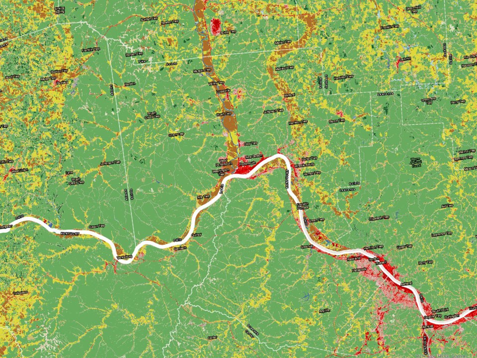
NPS Image. Data Source: NLCD 2019.
About this article: This article orginally appeared in the Lewis and Clark Trail Annual Report 2022.
By Mitch Meyer. Ecologist, Lewis and Clark National Historic Trail.

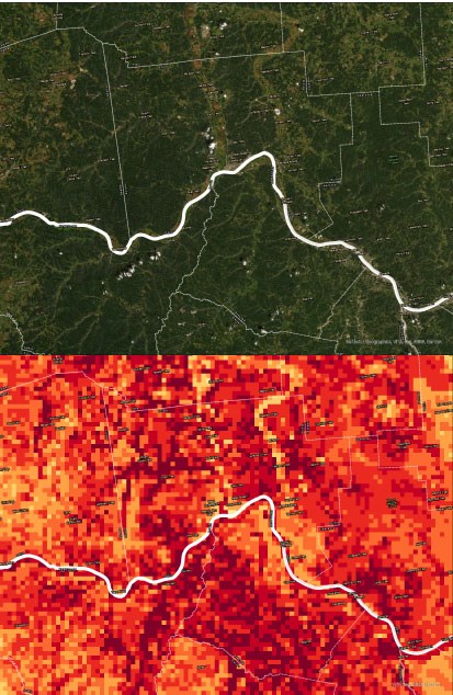
NPS images. Top map source: ESRI 2022. Bottom map: NatureServe 2022.
The Lewis and Clark Trail has changed a great deal since it was added to the National Trails System in 1978. In 2019, Lewis and Clark National Historic Trail was extended by more than 1,200 miles—from Wood River, Illinois, to Pittsburgh, Pennsylvania. And as the national historic trail network has changed, so too have the associated lands and resources. This year, we have developed a new plan to document the trail’s resources.
Historically, the quantification and understanding of the Lewis and Clark Trail’s (and its component’s) vast natural resources have occurred on a case-by-case basis for protection against proposed actions at site-specific levels. A baseline inventorying and monitoring of the entire Lewis and Clark Trail and its components has never occurred. As the Trail’s Ecologist, I have started developing a large-scale natural resources quantification project at a national level using geographic information systems (GIS).
Lewis and Clark National Historic Trail plans to use the most current and reputable data to quantify resources for inventory and monitoring purposes. Using spatial data and GIS, we will have baseline information to understand the natural resources of the Lewis and Clark Trail and the impacts to the natural resources from proposed actions, climate change, etc. The baseline information will be used to compare to newer datasets as spatial data become updated over time. We, as an interdisciplinary team, will be able to work together to understand the natural resources of the trail and how and why the trail is changing over time. This will inform the decision-making process when it comes to administration of the Lewis and Clark Trail, its components, and its resources.
Last updated: January 4, 2023
