Last updated: June 29, 2021
Article
Mouth of the Willamette

But when the Corps stopped at Provision Camp near today’s Washougal, Washington, a group of Watlalas and Clowewallas visited and drew a rough charcoal sketch of the area on a mat. So Captain Clark with six men and York, along with a hired Clowewallas guide set out at about 11:30 a.m. to find the elusive river that the local tribes called “Mult-no-mah.”
The party canoed back down the Columbia, paddled around the south side of Hayden and Tomahawk Islands, which covered the mouth of the river. Clark noted that the river was smooth, gentle, and sufficiently deep for the largest vessels. They continued about 10 miles upstream and made camp near today’s St. Johns Bridge in northwest Portland.
The next day, April 3, the group resumed exploring the river valley, and visited the home of their guide. They returned to the camp at Washougal about 6 p.m.
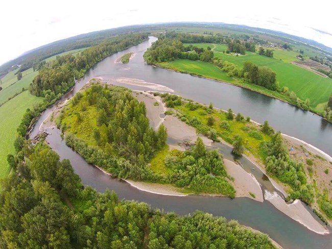
After 1841, the Multnomah became the Willamette River. Even though it’s just 187 miles long, it’s the 13th largest river in the lower 48 states, based on water flow. It begins in the Oregon Coast and Cascade Ranges, and flows through the famed Willamette Valley, one of the most fertile agricultural regions in the U.S.
