Last updated: September 13, 2021
Article
Mount Hood
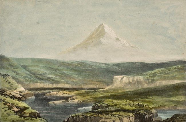
There are 13 volcanic mountains in the Cascade Range that stretched from northern Washington through Oregon and into northern California. Mount Hood, which last erupted in 1781, sits approximately in the center of the chain.
William Clark first noticed the large peak on October 19, 1805, and he wrote, “a conacal mountain S.W. toped with Snow.” But not until after they had passed it did the Captains realize it was the mountain that Lieutenant William Broughton of the Vancouver expedition had mapped and named in 1791 for British Admiral Sir Samuel Hood.
As the Corps of Discovery traveled through The Dalles of the Columbia in 1805, Clark referred to the majestic mountain as “Timm or falls Mountain.” But on the Expedition’s return trip in 1806, the British name, Mount Hood, was used.
This view of The Dalles and Mount Hood could have been similar to that of the Corps. It was painted by Henry Warre, a British Captain, in 1848, who published 16 different images in a book, “Sketches in North American and the Oregon Territory.”