Last updated: January 12, 2024
Article
The Oasis Newsletter: Spring 2023

This biannual newsletter of the Mojave Desert Network Inventory and Monitoring Program features: updates from regional Inventory & Monitoring Program Managers' meeting, satellite vegetation analysis and bird diversity in Joshua Tree National Park, staffing changes, our spring monitoring schedule, and a few images highlighting recent fieldwork.
Regional I&M Networks Collaborate to Sustain Monitoring and Support Park Needs
In late February, I attended a Pacific West Region (PWR) I&M program managers meeting hosted by the Pacific Islands Network (PACN) in Hawaii Volcanoes National Park. This had been the first in person meeting in five years and this was the first time that PACN had been able to host a meeting. Most of the meeting focused on collaborative planning across the eight PWR networks. We reviewed core expectations for the Inventory and Monitoring Division and discussed how we can better support emergent needs of the parks while continuing our focus on long-term ecological monitoring. We celebrated some of the successes we have had, particularly relating to shared multi-network positions that have allowed us to build capacity. We then discussed how we can use this model to maintain capacity and evaluate the potential for additional shared positions. We hope to maximize our funding to address our core monitoring programs, remain sustainable, and provide data to parks to address current and emerging needs. Organizing our data and improving data accessibility as well as communicating our findings were common threads across networks. Check out this blog post from PWR regional program manager Daniel George to get his perspective on the meeting: Notes from the Field: Volcanoes, Rain, and Designing for Change (sharepoint.com) - this link accessible for Dept of Interior employees only.
– Allen Calvert, Program Manager, Mojave Desert Network
Satellite Vegetation Analysis and Bird Diversity in Joshua Tree National Park
by Cynthia Berger and Bill Carlsen, Volunteers, Joshua Tree National Park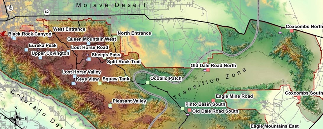
NPS graphic / Tyler Green
A recent study at Joshua Tree National Park has demonstrated the usefulness of remote sensing in research on avian biodiversity. Researcher Tyler Green compared seven years of bird population data to satellite-derived Normalized Differential Vegetation Index (NDVI) measures for the same study sites. The bird data came from field transect surveys of birds on 27 nine-hectare plots within the park (Figure 1). These plots are located in Sonoran desert, Mojave desert, and transition zone habitats and at a range of elevations, so they sample a variety of plant communities.
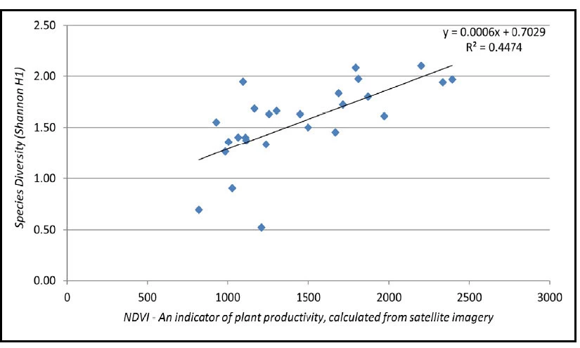
Green compared the field data on bird diversity to vegetation measurements from NASA’s Moderate Resolution Imaging Spectrometer (a sensor carried by satellite). NDVI is an index of the amount of near-infrared and red light reflected from the surface of plants; this value correlates with such metrics as net primary productivity. According to species-energy theory, energy availability can explain much of the variation in species richness in an ecosystem.
Results
Overall, Green found a significant relationship between NDVI values and bird diversity. That relationship is readily visible by looking at specific sites. For example, the study site with the highest average bird diversity (Queen Mountain West) was also the site with the highest NDVI in six out of seven years; meanwhile the Old Dale South site had the lowest NDVI value all seven years and also the lowest average bird diversity (Figure 2).
Averaging all 27 plots across seven years of available data, mean bird diversity was the highest in the years with highest mean NDVI. And both sets of data showed that avian diversity generally increased with elevation—supporting an observation often noted by park biologists.
NPS / Tyler Green
Desert precipitation is very patchy, meaning that capture and direct measurement of rainfall at a limited number of sites may paint an incomplete picture of climate at the landscape scale. Measures like NDVI provide a gauge of the availability of water in vegetation over time. These measurements can be made over large areas, including remote and wilderness locations where regular direct observation of rainfall may be difficult or inadvisable.
Why This Research Matters
Healthy, biodiverse ecosystems clean the air we breathe, protect supplies of fresh water, and ensure that soils are stable and fertile. But around the globe, scientists are documenting losses of biodiversity. In the Mojave Desert, bird communities have declined dramatically over the past 100 years. Desert birds are particularly threatened by warming climate trends. Although these species are already adapted to hot, dry conditions, they may be physiologically unable to cope with even more extreme environments.
To protect biodiversity, biologists need to know what species are present and how species composition changes over time. Metrics like NDVI are promising tools for accurately monitoring changes in habitat and bird species diversity. And remote sensing of biodiversity is cost-effective. Data are available from several sources, often at no cost. NDVI appears to be a relatively fast and cost-effective way to expand monitoring efforts and to inform work that impacts biodiversity, such as fire management and invasive species removal.
Spring and Summer Field Schedule
| Park | April | May | June | July | Aug | Sept |
| DEVA | – | Bats1 | Bats1 | – | – | Bats2 |
| GRBA | – | – | Bats1 | Pine | Aspen | Streams and Lakes |
| JOTR | Bats2 | Bats1 | Selected Large Springs | – | – | Selected Large Springs |
| LAKE | Spring Vegetation | Bats1 | Selected Large Springs |
– | – | Selected Large Springs |
| MANZ | – | – | – | – | – | – |
| MOJA | Spring Vegetation | Bats1 | Selected Large Springs | – | – | Selected Large Springs |
| PARA | Desert Springs, Bats2 | Integrated Uplands, Bats1 | Integrated Uplands, Bats1, Selected Large Springs |
– | – | Selected Large Springs |
2Capture
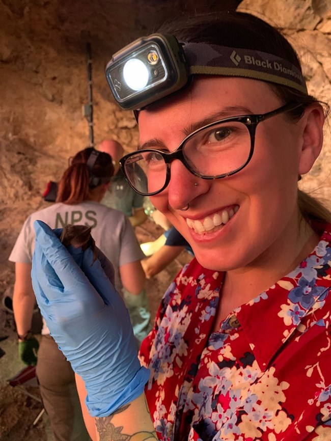
Farewell, Kimber!
Kimber Godfrey has accepted a position as a biologist with the Bureau of Reclamation’s Lower Colorado River Multi-Species Conservation program. Kimber has been with the Mojave Desert Network (MOJN) since 2018, first as a research associate with the Great Basin Institute, and then in 2019 as a biological science technician. She primarily oversaw all aspects of field work related to our collaborative network bat monitoring project that was made possible thanks to ongoing white-nose syndrome and Emerging Wildlife Disease NPS funds. Kimber also often assisted with MOJN’s various other monitoring projects.
Prior to working at MOJN, Kimber worked at Pinnacles National Park monitoring raptors and California condors. Her first technician job was with the Klamath Network monitoring bats and giving interpretive programs to spread awareness of white-nose syndrome. Kimber departed on April 7, and we wish her well in her new job! We are pleased she will still be working in our local area.
Welcome to New Staff

Molly Bahr
Molly is one of our new interns with the Conservation Legacy program. She is assisting with our bats project (white-nose disease surveillance and acoustic monitoring) and vegetation monitoring projects, including spring vegetation, integrated uplands, white pine, and aspen. Molly has a B.A. in biology (emphasis in ecology, animal behavior, and evolutionary biology) from Earlham College. She has had varied research experiences working with bats in the Peruvian Amazon and studying bat pollination in Trinidad, studying impala behavior in Tanzania, and researching bat anatomy and biomechanics at the American Museum of Natural History. In her free time, Molly enjoys wildlife photography and fiber arts.
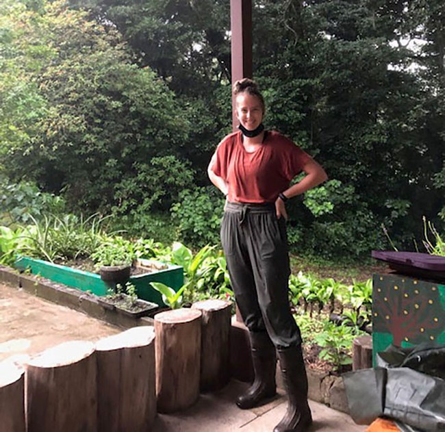
Katelyn Heinsma
Katelyn is one of our new interns with the Conservation Legacy program, and she is assisting with bat monitoring (white-nose disease surveillance) and our white pine and aspen monitoring projects. She has a B.A. in Ecosystem Science and Sustainability and a B.S. in International Studies of Latin America (with a minor in Spanish) at Colorado State University. Katelyn has worked as a soil research tehnician studying organic carbon oxidation in lowland tropical forestsof Panama. She studied in Costa Rica for a month learning about agroforestry for coffee and chocolate. As an intern at the Poudre Learning Center at Colorado State University, she worked in invasive species removal, community outreach, and plant identifation. In her free time, she enjoys baking, practicing Taekwondo, and continuing her learning in Spanish and French.
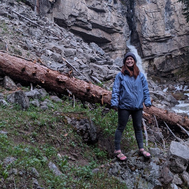
Sabina Milbauer
Sabina is a vegetation technician with the Great Basin Institute and is supporting all of our vegetation monitoring projects—spring vegetation, integrated uplands vegetation, white pine, and aspen. She has a B.S. in biology from Minnesota State University. She has worked at Zion National Park as a Visitor Use Intern. Sabina learned to love being outdoors through camping trips with her family. When not working, she enjoys photography, painting, and traveling to see family (especially her dog, Roo).
Photos from the Field
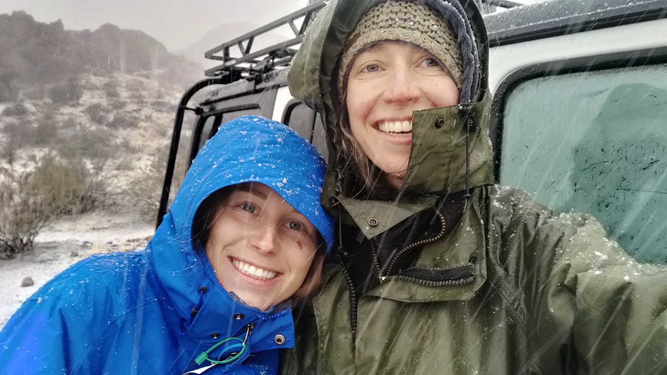
NPS / Marisa Monroe
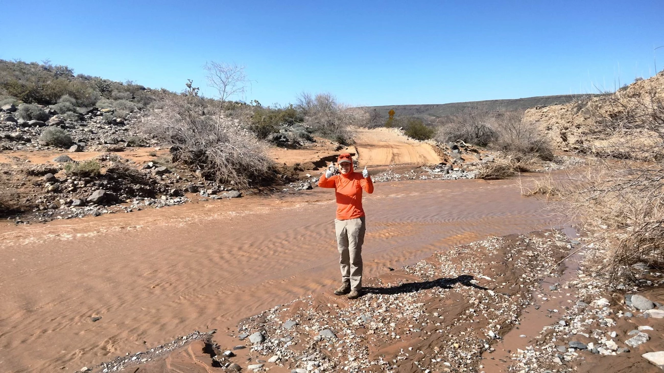
NPS / Marisa Monroe
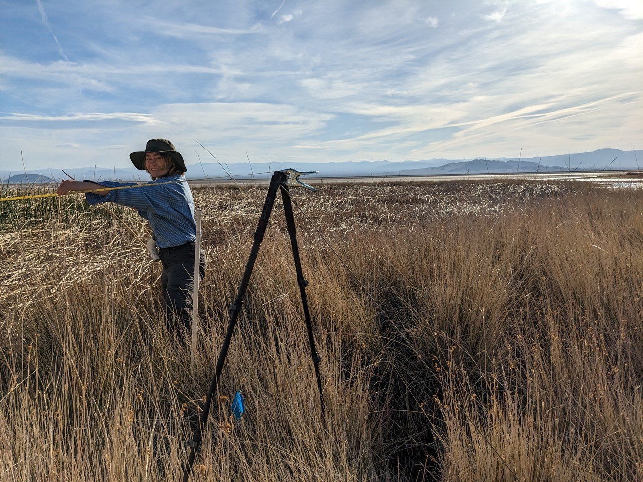
NPS / Joseph Ladd
NPS / Joseph Ladd
NPS Mojave Desert Inventory & Monitoring Network
601 Nevada Highway
Boulder City, Nevada 89005
