Part of a series of articles titled Water Resources Monitoring in the Madison River near West Yellowstone, Montana, 2021.
Article
The Madison River near West Yellowstone, Montana

NPS
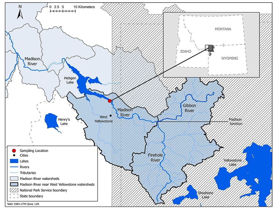
The Madison River, a tributary of the Missouri River, begins in Yellowstone National Park at the confluence of the Firehole and Gibbon rivers. This site is called Madison Junction. Both the Firehold and Gibbon rivers are thermally influenced by contributions from geothermal features. The Madison River travels 19 miles (31 km) through Yellowstone National Park before crossing the park boundary and flowing into Hebgen Lake towards Ennis, Montana. It continues northwest from there and meets the Jefferson and Gallatin rivers to form the Missouri River. The Madison River is a renowned recreation destination for fishing, birding, and wildlife viewing.
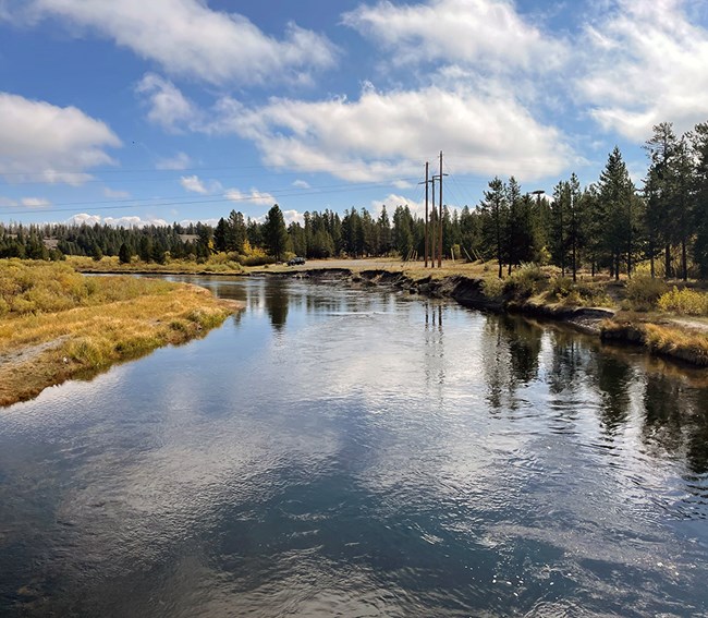
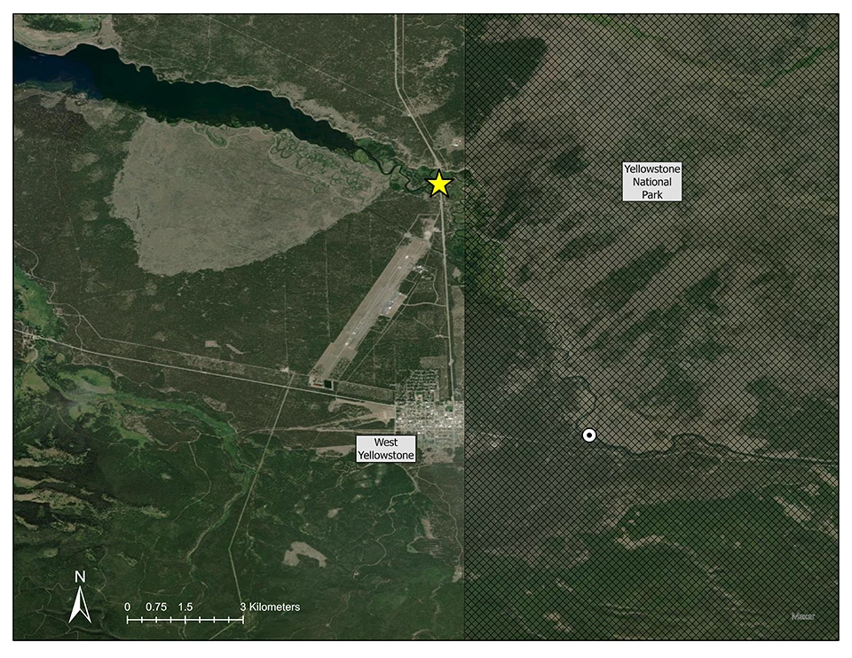
The Greater Yellowstone Network monitors water quality and discharge in the Madison River just outside of the Yellowstone National Park boundary, 3.75 miles (6 km) north of West Yellowstone, MT, at a bridge crossing along Montana Highway 191.

NPS

NPS graphic on USDA base map.
Last updated: March 10, 2023
